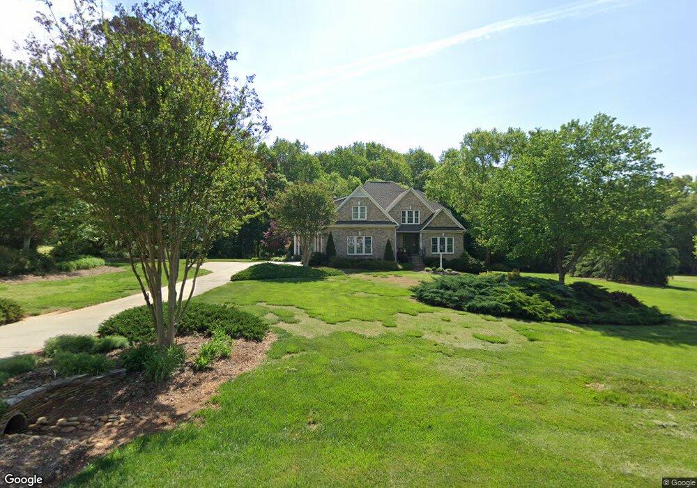
5698 Wolf Ridge Ct Oak Ridge, NC 27310
Estimated Value: $771,838 - $871,000
3
Beds
5
Baths
3,483
Sq Ft
$237/Sq Ft
Est. Value
About This Home
This home is located at 5698 Wolf Ridge Ct, Oak Ridge, NC 27310 and is currently estimated at $826,960, approximately $237 per square foot. 5698 Wolf Ridge Ct is a home located in Guilford County with nearby schools including Oak Ridge Elementary School, Northwest Guilford Middle School, and Northwest Guilford High School.
Ownership History
Date
Name
Owned For
Owner Type
Purchase Details
Closed on
Sep 29, 1999
Sold by
Robert Disney Francis and Robert Patricia C
Bought by
Tentz John M and Tentz Mary G
Current Estimated Value
Home Financials for this Owner
Home Financials are based on the most recent Mortgage that was taken out on this home.
Original Mortgage
$400,000
Outstanding Balance
$145,587
Interest Rate
8%
Mortgage Type
Construction
Estimated Equity
$681,374
Create a Home Valuation Report for This Property
The Home Valuation Report is an in-depth analysis detailing your home's value as well as a comparison with similar homes in the area
Home Values in the Area
Average Home Value in this Area
Purchase History
| Date | Buyer | Sale Price | Title Company |
|---|---|---|---|
| Tentz John M | $62,500 | -- |
Source: Public Records
Mortgage History
| Date | Status | Borrower | Loan Amount |
|---|---|---|---|
| Open | Tentz John M | $400,000 |
Source: Public Records
Tax History Compared to Growth
Tax History
| Year | Tax Paid | Tax Assessment Tax Assessment Total Assessment is a certain percentage of the fair market value that is determined by local assessors to be the total taxable value of land and additions on the property. | Land | Improvement |
|---|---|---|---|---|
| 2025 | $4,436 | $475,300 | $101,300 | $374,000 |
| 2024 | $4,436 | $475,300 | $101,300 | $374,000 |
| 2023 | $4,436 | $475,300 | $101,300 | $374,000 |
| 2022 | $4,317 | $475,300 | $101,300 | $374,000 |
| 2021 | $3,856 | $424,600 | $81,000 | $343,600 |
| 2020 | $3,856 | $424,600 | $81,000 | $343,600 |
| 2019 | $3,856 | $424,600 | $0 | $0 |
| 2018 | $3,837 | $424,600 | $0 | $0 |
| 2017 | $3,837 | $424,600 | $0 | $0 |
| 2016 | $3,871 | $418,000 | $0 | $0 |
| 2015 | $3,892 | $418,000 | $0 | $0 |
| 2014 | $3,934 | $418,000 | $0 | $0 |
Source: Public Records
Map
Nearby Homes
- 8280 Stafford Mill Rd
- 5216 Harley Stafford Dr
- 5402 Effieham St
- 604 Stafford Pointe Ct
- 8235 Stafford Mill Rd
- 8449 Alice Player Dr
- 8304 Burchlawn Ct
- 425 Bunker Hill Rd S
- 7856, 7864 Alcorn Rd
- 4262 Bridgehead Rd
- 8104 Leabourne Rd
- 8410 Linville Rd
- 8323 Lazy Sky Ln Unit 69
- 8321 Lazy Sky Ln Unit 70
- 3945 Cassillis Way Unit 105
- 7929 Tranquility Place
- 8314 Lazy Sky Ln Unit 112
- 4530 Peeples Rd
- 8317 Lazy Sky Ln Unit 100
- 3815 Kestrel Ln Unit 94
- 5693 Wolf Ridge Ct
- 5691 Wolf Ridge Ct
- 5689 Wolf Ridge Ct
- 5696 Wolf Ridge Ct
- 5695 Wolf Ridge Ct
- 5702 Wolf Ridge Ct
- 5697 Wolf Ridge Ct
- 5217 Williard Rd
- 5215 Williard Rd
- 5692 Wolf Ridge Ct
- 5694 Wolf Ridge Ct
- 5687 Wolf Ridge Ct
- 5704 Wolf Ridge Ct
- 5221 Williard Rd
- 5685 Wolf Ridge Ct
- 5699 Wolf Ridge Ct
- 5214 Williard Rd
- 5706 Wolf Ridge Ct
- 5702 Fox Hound Dr
- 5701 Wolf Ridge Ct