57 Cooks Point Rd Moultonborough, NH 03254
Estimated Value: $1,596,000 - $3,198,000
3
Beds
2
Baths
2,188
Sq Ft
$1,109/Sq Ft
Est. Value
About This Home
This home is located at 57 Cooks Point Rd, Moultonborough, NH 03254 and is currently estimated at $2,426,879, approximately $1,109 per square foot. 57 Cooks Point Rd is a home located in Carroll County with nearby schools including Moultonborough Central School and Moultonborough Academy High School.
Ownership History
Date
Name
Owned For
Owner Type
Purchase Details
Closed on
May 20, 2014
Sold by
Petersen Ft and Petersen
Bought by
Petersen Lee Arthur and Petersen Christine
Current Estimated Value
Home Financials for this Owner
Home Financials are based on the most recent Mortgage that was taken out on this home.
Original Mortgage
$250,000
Outstanding Balance
$190,084
Interest Rate
4.19%
Mortgage Type
Unknown
Estimated Equity
$2,236,795
Create a Home Valuation Report for This Property
The Home Valuation Report is an in-depth analysis detailing your home's value as well as a comparison with similar homes in the area
Home Values in the Area
Average Home Value in this Area
Purchase History
| Date | Buyer | Sale Price | Title Company |
|---|---|---|---|
| Petersen Lee Arthur | $500,000 | -- | |
| Petersen Lee Arthur | $500,000 | -- |
Source: Public Records
Mortgage History
| Date | Status | Borrower | Loan Amount |
|---|---|---|---|
| Open | Petersen Lee Arthur | $250,000 | |
| Open | Petersen Lee Arthur | $400,000 | |
| Closed | Petersen Lee Arthur | $400,000 |
Source: Public Records
Tax History Compared to Growth
Tax History
| Year | Tax Paid | Tax Assessment Tax Assessment Total Assessment is a certain percentage of the fair market value that is determined by local assessors to be the total taxable value of land and additions on the property. | Land | Improvement |
|---|---|---|---|---|
| 2024 | $13,894 | $2,459,200 | $2,195,700 | $263,500 |
| 2023 | $12,646 | $2,218,600 | $1,960,400 | $258,200 |
| 2022 | $9,318 | $1,949,300 | $1,712,200 | $237,100 |
| 2021 | $10,597 | $1,518,200 | $1,309,600 | $208,600 |
| 2020 | $9,789 | $1,372,900 | $1,178,600 | $194,300 |
| 2019 | $9,302 | $1,301,000 | $1,145,100 | $155,900 |
| 2018 | $8,661 | $1,121,900 | $981,500 | $140,400 |
| 2017 | $9,332 | $1,135,300 | $1,008,800 | $126,500 |
| 2016 | $9,566 | $1,094,500 | $975,200 | $119,300 |
| 2015 | $9,739 | $1,080,900 | $975,200 | $105,700 |
| 2014 | $9,694 | $1,094,100 | $988,400 | $105,700 |
| 2013 | $9,645 | $1,109,900 | $988,400 | $121,500 |
Source: Public Records
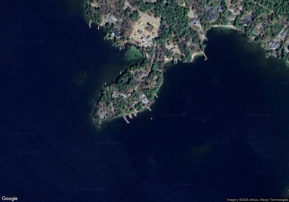
Map
Nearby Homes
- 30 Leopards Leap
- 31 Rays Way
- 22 Tiger Trail
- 29 Kona Farm Rd
- 5 Ferry Rd
- 1 Little Beaver Island
- 16 Long Island Rd
- 203 Krainewood Dr
- 10 Woodridge Rd
- 320 Redding Ln
- 167 Long Island Rd
- 9 Starboard Ln Unit 1
- 00 Rivers Rd
- 00 Beede Rd
- 21 Orton Ln
- 85 Blueberry Hill Rd
- 11 Quimby Rd
- 11 Geery Ln
- 33 Blackadar Ln
- 122 Toltec Point Rd
- 59 Cooks Point Rd
- 41 Cooks Point Rd
- 50 Cooks Point Rd
- 60 Cooks Point Rd
- 30 & 56 Cooks Point Rd and Rocky Winds Rd
- 30 Cooks Point Rd
- 25 Cooks Point Rd
- 54 Rocky Winds Rd
- 15 Cooks Point Rd
- 50 Rocky Winds Rd
- 5 Cooks Point Rd
- 48 Rocky Winds Rd
- 14 Cooks Point Rd
- 46 Rocky Winds Rd
- 28 Ruppert Rd
- 34 Ruppert Rd
- 38 Rocky Winds Rd
- 36 Ruppert Rd
- 00 Ruppert Rd
- 33 Rocky Winds Rd