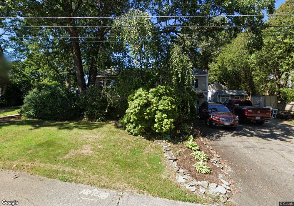
57 Dunn Ave Wrentham, MA 02093
Estimated Value: $531,000 - $564,000
2
Beds
1
Bath
1,104
Sq Ft
$492/Sq Ft
Est. Value
About This Home
This home is located at 57 Dunn Ave, Wrentham, MA 02093 and is currently estimated at $543,016, approximately $491 per square foot. 57 Dunn Ave is a home located in Norfolk County with nearby schools including Delaney Elementary School, Charles E Roderick, and The Sage School.
Ownership History
Date
Name
Owned For
Owner Type
Purchase Details
Closed on
Jul 5, 1979
Bought by
Dorion Barry H and Dorion Donna L
Current Estimated Value
Create a Home Valuation Report for This Property
The Home Valuation Report is an in-depth analysis detailing your home's value as well as a comparison with similar homes in the area
Home Values in the Area
Average Home Value in this Area
Purchase History
| Date | Buyer | Sale Price | Title Company |
|---|---|---|---|
| Dorion Barry H | -- | -- |
Source: Public Records
Mortgage History
| Date | Status | Borrower | Loan Amount |
|---|---|---|---|
| Open | Dorion Barry H | $104,000 | |
| Closed | Dorion Barry H | $100,000 | |
| Closed | Dorion Barry H | $35,000 |
Source: Public Records
Tax History Compared to Growth
Tax History
| Year | Tax Paid | Tax Assessment Tax Assessment Total Assessment is a certain percentage of the fair market value that is determined by local assessors to be the total taxable value of land and additions on the property. | Land | Improvement |
|---|---|---|---|---|
| 2025 | $5,345 | $461,200 | $259,700 | $201,500 |
| 2024 | $4,943 | $411,900 | $259,700 | $152,200 |
| 2023 | $4,661 | $369,300 | $236,100 | $133,200 |
| 2022 | $4,686 | $342,800 | $220,300 | $122,500 |
| 2021 | $4,348 | $309,000 | $192,300 | $116,700 |
| 2020 | $4,123 | $289,300 | $171,000 | $118,300 |
| 2019 | $4,057 | $287,300 | $171,000 | $116,300 |
| 2018 | $4,114 | $288,900 | $171,100 | $117,800 |
| 2017 | $3,914 | $274,700 | $167,800 | $106,900 |
| 2016 | $3,824 | $267,800 | $162,900 | $104,900 |
| 2015 | $3,690 | $246,300 | $156,600 | $89,700 |
| 2014 | $3,630 | $237,100 | $150,700 | $86,400 |
Source: Public Records
Map
Nearby Homes
- 155 Clark Rd Unit 155
- 65 Pond St
- 362 East St
- 120 Hawes St
- 483 Thurston St
- 1 Lorraine Metcalf Dr
- 319 Taunton St
- 270 Dedham St
- 10 Nature View Dr
- 15 Nature View Dr
- 25 Foxboro Rd
- 131 Washington St Unit 42
- 11 Goodwin Dr
- 11 Earle Stewart Ln
- 131 Creek St Unit 7
- Lot 1 - Blueberry 2 Car Plan at King Philip Estates
- Lot 8 - Blueberry 2 Car Plan at King Philip Estates
- Lot 5 - Hughes 2 car Plan at King Philip Estates
- Lot 6 - Blueberry 3 Car Plan at King Philip Estates
- Lot 2 - Camden 2 Car Plan at King Philip Estates