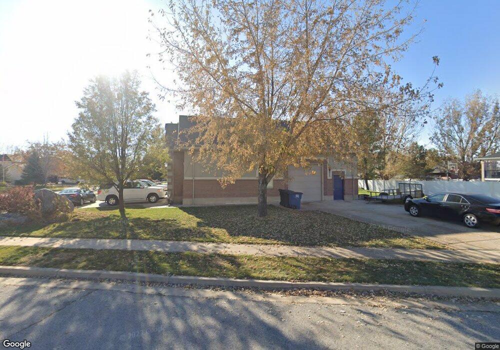
57 N 700 W Kaysville, UT 84037
West Kaysville NeighborhoodEstimated Value: $834,000 - $1,131,000
5
Beds
3
Baths
3,415
Sq Ft
$284/Sq Ft
Est. Value
About This Home
This home is located at 57 N 700 W, Kaysville, UT 84037 and is currently estimated at $970,630, approximately $284 per square foot. 57 N 700 W is a home located in Davis County with nearby schools including Kaysville Elementary School, Farmington High, and Centennial Junior High School.
Ownership History
Date
Name
Owned For
Owner Type
Purchase Details
Closed on
Apr 12, 2023
Sold by
Tullis Ray M
Bought by
Ray & Sherri Tullis Family Trust
Current Estimated Value
Purchase Details
Closed on
Nov 4, 1998
Sold by
Princeton Development Llc
Bought by
Tullis Ray M and Tullis Sherri K
Create a Home Valuation Report for This Property
The Home Valuation Report is an in-depth analysis detailing your home's value as well as a comparison with similar homes in the area
Home Values in the Area
Average Home Value in this Area
Purchase History
| Date | Buyer | Sale Price | Title Company |
|---|---|---|---|
| Ray & Sherri Tullis Family Trust | -- | None Listed On Document | |
| Tullis Ray M | -- | Bonneville Title Company Inc |
Source: Public Records
Tax History Compared to Growth
Tax History
| Year | Tax Paid | Tax Assessment Tax Assessment Total Assessment is a certain percentage of the fair market value that is determined by local assessors to be the total taxable value of land and additions on the property. | Land | Improvement |
|---|---|---|---|---|
| 2025 | $4,480 | $492,250 | $208,491 | $283,759 |
| 2024 | $4,480 | $472,449 | $197,083 | $275,366 |
| 2023 | $4,450 | $457,050 | $191,717 | $265,332 |
| 2022 | $4,504 | $858,000 | $345,875 | $512,125 |
| 2021 | $4,503 | $707,000 | $227,508 | $479,492 |
| 2020 | $4,094 | $626,000 | $194,700 | $431,300 |
| 2019 | $3,963 | $595,000 | $194,047 | $400,953 |
| 2018 | $3,748 | $561,000 | $164,461 | $396,539 |
| 2016 | $3,374 | $265,485 | $76,088 | $189,397 |
| 2015 | $3,411 | $254,870 | $76,088 | $178,782 |
| 2014 | $3,340 | $254,051 | $61,819 | $192,232 |
| 2013 | -- | $238,028 | $57,883 | $180,145 |
Source: Public Records
Map
Nearby Homes
- 1087 Barnes Dr
- 48 S Flint St
- 203 S Larkin Ln
- 454 S Jay St W
- 52 S Grandison Ct E Unit 83-R
- 1346 W Blackbird Ln Unit 3
- 109 S Rock Loft Ridge Dr Unit 56-R
- 159 S Rock Loft Ridge Dr Unit 59-R
- 209 N Rock Loft Ridge E Unit 32-R
- 180 S Rock Loft Ridge Dr E Unit 7-R
- 246 N Rock Loft Ridge Dr Unit 36-R
- 22 S Rock Loft Ridge Dr Unit 16-R
- 34 S Rock Loft Ridge Dr Unit 85-R
- 190 N Rock Loft Ridge Dr Unit 40-R
- 75 S Grandison Ct E Unit 69-R
- 93 S Rock Loft Ridge Dr Unit 55-R
- 167 S Grandison E Unit 74-R
- 127 S Rock Loft Ridge Dr Unit 57-R
- 28 N Rock Loft Ridge Dr Unit 46-R
- 96 S Rock Loft Ridge Dr Unit 12-R
- 73 N 700 W
- 726 Mill Shadow Dr
- 715 Mill Shadow Dr
- 701 Mill Shadow Dr
- 743 Chester Ln
- 87 N 700 W
- 701 Mill Shadow Dr
- 68 N 700 W
- 54 N 700 W
- 729 Mill Shadow Dr
- 769 Chester Ln
- 748 Mill Shadow Dr
- 82 N 700 W
- 743 Mill Shadow Dr
- 791 Chester Ln
- 96 N 700 W
- 757 Mill Shadow Dr
- 744 Chester Ln
- 772 Mill Shadow Dr
- 766 Chester Ln