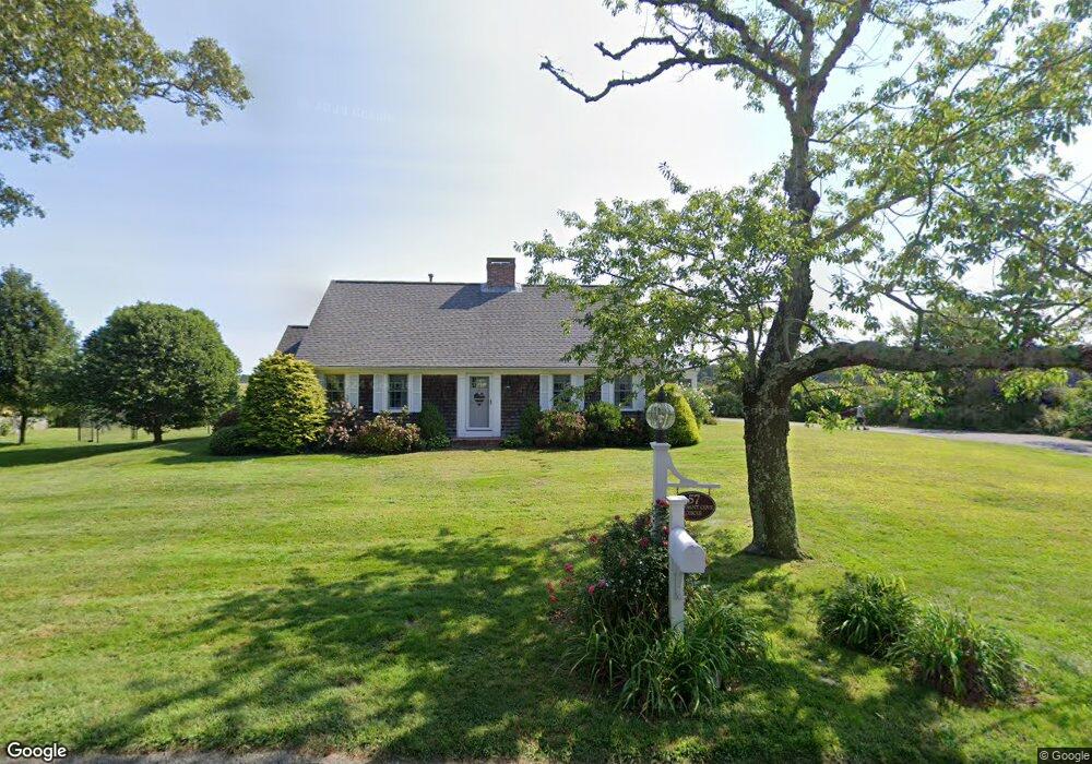
57 Pheasant Cove Cir Yarmouth Port, MA 02675
Yarmouth Port NeighborhoodEstimated Value: $982,965 - $1,141,000
3
Beds
2
Baths
2,053
Sq Ft
$521/Sq Ft
Est. Value
About This Home
This home is located at 57 Pheasant Cove Cir, Yarmouth Port, MA 02675 and is currently estimated at $1,068,991, approximately $520 per square foot. 57 Pheasant Cove Cir is a home located in Barnstable County with nearby schools including Dennis-Yarmouth Regional High School.
Ownership History
Date
Name
Owned For
Owner Type
Purchase Details
Closed on
May 20, 2005
Sold by
Nugent 3Rd Julius F and Nugent Marcia E
Bought by
Lynn Gary D and Lynn Susan T
Current Estimated Value
Home Financials for this Owner
Home Financials are based on the most recent Mortgage that was taken out on this home.
Original Mortgage
$492,000
Outstanding Balance
$258,342
Interest Rate
5.95%
Mortgage Type
Purchase Money Mortgage
Estimated Equity
$810,649
Create a Home Valuation Report for This Property
The Home Valuation Report is an in-depth analysis detailing your home's value as well as a comparison with similar homes in the area
Home Values in the Area
Average Home Value in this Area
Purchase History
| Date | Buyer | Sale Price | Title Company |
|---|---|---|---|
| Lynn Gary D | $615,000 | -- |
Source: Public Records
Mortgage History
| Date | Status | Borrower | Loan Amount |
|---|---|---|---|
| Open | Lynn Gary D | $492,000 | |
| Closed | Lynn Gary D | $61,500 |
Source: Public Records
Tax History Compared to Growth
Tax History
| Year | Tax Paid | Tax Assessment Tax Assessment Total Assessment is a certain percentage of the fair market value that is determined by local assessors to be the total taxable value of land and additions on the property. | Land | Improvement |
|---|---|---|---|---|
| 2025 | $6,385 | $901,800 | $420,000 | $481,800 |
| 2024 | $5,719 | $774,900 | $365,700 | $409,200 |
| 2023 | $5,810 | $716,400 | $344,100 | $372,300 |
| 2022 | $6,538 | $712,200 | $391,300 | $320,900 |
| 2021 | $6,377 | $667,100 | $373,400 | $293,700 |
| 2020 | $6,313 | $631,300 | $373,100 | $258,200 |
| 2019 | $6,060 | $600,000 | $373,100 | $226,900 |
| 2018 | $6,003 | $583,400 | $356,500 | $226,900 |
| 2017 | $5,846 | $583,400 | $356,500 | $226,900 |
| 2016 | $5,822 | $583,400 | $356,500 | $226,900 |
| 2015 | $5,712 | $568,900 | $356,500 | $212,400 |
Source: Public Records
Map
Nearby Homes
- 30 W Woods
- 30 W Woods Cir Unit 30
- 7 Forest Gate Unit 7
- 2 Pine Grove
- 25 Oak Glen Village Unit 25
- 25 Oak Glen
- 50 John Hall Cartway
- 50 John Hall Cartway Unit 50
- 42 John Hall Cartway Unit 42
- 23 Dauphine Dr
- 228 Kates Path
- 17 Kates Path Unit A
- 34 Kates Path
- 34 Kates Path Unit 34
- 64 Kates Path
- 43 Canterbury Rd
- 24 Minnetuxet Way
- 49 Rodoalph's Way
- 44 Stratford Ln
- 4 Spadoni Way
- 61 Pheasant Cove Cir
- 58 Pheasant Cove Cir
- 49 Pheasant Cove Cir
- 44 Pheasant Cove Cir
- 68 Pheasant Cove Cir
- 47 & 49 Pheasant Cove Cir
- 47 Pheasant Cove Cir
- 74 Pheasant Cove Cir
- 67 Pheasant Cove Cir
- 41 Pheasant Cove Cir
- 79 Pheasant Cove Cir
- 35 Pheasant Cove Cir
- 16 Marsh Point
- 30 Pheasant Cove Cir
- 22 Pheasant Cove Cir
- 49 Pheasant Cove Cir
- 0 Pheasant Cove Cir
- 78 Pheasant Cove Cir
- 29 Pheasant Cove Cir
- 25 Loch Rannoch Way