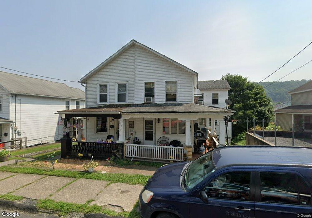
57 W Enterprise St Glen Lyon, PA 18617
Estimated Value: $86,009 - $128,000
--
Bed
--
Bath
938
Sq Ft
$119/Sq Ft
Est. Value
About This Home
This home is located at 57 W Enterprise St, Glen Lyon, PA 18617 and is currently estimated at $111,502, approximately $118 per square foot. 57 W Enterprise St is a home located in Luzerne County with nearby schools including Kennedy Early Childhood Center, Nanticoke Area Elementary Center Center, and Greater Nanticoke Area Senior High School.
Ownership History
Date
Name
Owned For
Owner Type
Purchase Details
Closed on
Nov 17, 2017
Sold by
Donahue John and Donahue Kimberly
Bought by
Kuchinsky Michael J
Current Estimated Value
Home Financials for this Owner
Home Financials are based on the most recent Mortgage that was taken out on this home.
Original Mortgage
$57,575
Outstanding Balance
$48,321
Interest Rate
3.91%
Mortgage Type
New Conventional
Estimated Equity
$63,181
Purchase Details
Closed on
Aug 5, 2005
Sold by
Secretary Of Hud
Bought by
Donahue John
Create a Home Valuation Report for This Property
The Home Valuation Report is an in-depth analysis detailing your home's value as well as a comparison with similar homes in the area
Home Values in the Area
Average Home Value in this Area
Purchase History
| Date | Buyer | Sale Price | Title Company |
|---|---|---|---|
| Kuchinsky Michael J | $55,000 | None Available | |
| Donahue John | $12,000 | None Available |
Source: Public Records
Mortgage History
| Date | Status | Borrower | Loan Amount |
|---|---|---|---|
| Open | Kuchinsky Michael J | $57,575 |
Source: Public Records
Tax History Compared to Growth
Tax History
| Year | Tax Paid | Tax Assessment Tax Assessment Total Assessment is a certain percentage of the fair market value that is determined by local assessors to be the total taxable value of land and additions on the property. | Land | Improvement |
|---|---|---|---|---|
| 2025 | $984 | $41,600 | $15,900 | $25,700 |
| 2024 | $984 | $41,600 | $15,900 | $25,700 |
| 2023 | $955 | $41,600 | $15,900 | $25,700 |
| 2022 | $947 | $41,600 | $15,900 | $25,700 |
| 2021 | $914 | $41,600 | $15,900 | $25,700 |
| 2020 | $908 | $41,600 | $15,900 | $25,700 |
| 2019 | $886 | $41,600 | $15,900 | $25,700 |
| 2018 | $855 | $41,600 | $15,900 | $25,700 |
| 2017 | $807 | $41,600 | $15,900 | $25,700 |
| 2016 | -- | $41,600 | $15,900 | $25,700 |
| 2015 | -- | $41,600 | $15,900 | $25,700 |
| 2014 | -- | $41,600 | $15,900 | $25,700 |
Source: Public Records
Map
Nearby Homes
- 10 Line St
- 64-64.5 W Ridge St
- 86 E Main St
- 1039 W Main Ave
- 7 Sorbertown Hill Rd
- 18 Circle Ave
- 4 Circle Ave
- 85 Sorbertown Hill Rd
- 0 Pond Hill Mountain Rd Unit 25-171
- Lot 54 Garden Dr
- Hemlock St Hemlock St
- 46 W Kirmar Ave
- 0 Fine and Hemlock St
- 53 Vista Dr
- 15 Sunset View Dr
- Lot 16 Sunset View Dr
- Lot 1 Sunset View Dr
- Lot 9 Sunset View Dr
- 371 Pond Hill Mountain Rd
- 1116 Chestnut St
- 57 W Enterprise St
- 608 Water St
- 55 W Enterprise St
- 59 W Enterprise St
- 53 W Enterprise St
- 61 W Enterprise St
- 51 W Enterprise St
- 49 W Enterprise St
- 29 Railroad St
- 31 Railroad St
- 63 W Enterprise St
- 33 Railroad St
- 47 W Enterprise St
- 35 Railroad St
- 25 Railroad St
- 45 W Enterprise St
- 43 Railroad St
- 65 W Enterprise St
- 23 Railroad St
- 45 Railroad St