570 Browns Hill Rd Locust, NC 28097
Estimated Value: $388,000 - $514,000
4
Beds
3
Baths
2,794
Sq Ft
$166/Sq Ft
Est. Value
About This Home
This home is located at 570 Browns Hill Rd, Locust, NC 28097 and is currently estimated at $462,984, approximately $165 per square foot. 570 Browns Hill Rd is a home located in Stanly County with nearby schools including Stanfield Elementary School, West Stanly Middle School, and West Stanly High School.
Ownership History
Date
Name
Owned For
Owner Type
Purchase Details
Closed on
Mar 9, 2007
Sold by
Vanvanstephens Ronald Van
Bought by
Smith Dakota R
Current Estimated Value
Home Financials for this Owner
Home Financials are based on the most recent Mortgage that was taken out on this home.
Original Mortgage
$60,000
Interest Rate
6.19%
Mortgage Type
Future Advance Clause Open End Mortgage
Create a Home Valuation Report for This Property
The Home Valuation Report is an in-depth analysis detailing your home's value as well as a comparison with similar homes in the area
Home Values in the Area
Average Home Value in this Area
Purchase History
| Date | Buyer | Sale Price | Title Company |
|---|---|---|---|
| Smith Dakota R | $75,000 | None Available |
Source: Public Records
Mortgage History
| Date | Status | Borrower | Loan Amount |
|---|---|---|---|
| Closed | Smith Dakota R | $60,000 |
Source: Public Records
Tax History Compared to Growth
Tax History
| Year | Tax Paid | Tax Assessment Tax Assessment Total Assessment is a certain percentage of the fair market value that is determined by local assessors to be the total taxable value of land and additions on the property. | Land | Improvement |
|---|---|---|---|---|
| 2025 | $2,273 | $360,848 | $45,150 | $315,698 |
| 2024 | $1,877 | $257,182 | $26,600 | $230,582 |
| 2023 | $2,066 | $257,182 | $26,600 | $230,582 |
| 2022 | $2,044 | $257,182 | $26,600 | $230,582 |
| 2021 | $2,021 | $257,182 | $26,600 | $230,582 |
| 2020 | $1,873 | $209,444 | $20,577 | $188,867 |
| 2019 | $1,901 | $209,444 | $20,577 | $188,867 |
| 2018 | $1,613 | $209,444 | $20,577 | $188,867 |
| 2017 | $1,613 | $209,444 | $20,577 | $188,867 |
| 2016 | $1,552 | $201,590 | $18,575 | $183,015 |
| 2015 | $1,536 | $201,590 | $18,575 | $183,015 |
| 2014 | $1,414 | $201,590 | $18,575 | $183,015 |
Source: Public Records
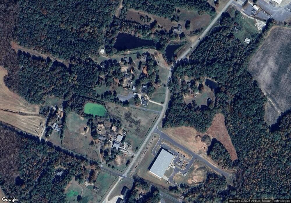
Map
Nearby Homes
- 12108 Muscadine Ct
- 12020 Muscadine Ct
- 12029 Muscadine Ct
- 12139 Muscadine Ct
- 12005 Muscadine Ct
- 12013 Muscadine Ct
- 6430 Honor Ave
- 12160 Muscadine Ct
- 12124 Muscadine Ct
- 12155 Muscadine Ct
- 6336 Busch Way
- 6308 Honor Ave
- 000 N Renee Ford Rd
- The Benson II Plan at Pine Bluff
- The McGinnis Plan at Pine Bluff
- The James Plan at Pine Bluff
- The Langford Plan at Pine Bluff
- The Lancaster Plan at Pine Bluff
- The Harrington Plan at Pine Bluff
- The Phoenix Plan at Pine Bluff
- 550 Browns Hill Rd
- 534 Browns Hill Rd
- 543 Browns Hill Rd
- 416 Nance Rd
- 504 Browns Hill Rd
- 423 Nance Rd
- 464 Nance Rd
- 4470 Nance Rd
- 4484 Nance Rd
- VAC Conveyor Beltway Dr
- VAC Conveyor Beltway None
- 419 Nance Rd
- 0 Conveyor Beltway Rd Unit 3031842
- 375 Nance Rd
- Vac Nance Rd
- Vac Nance Rd Unit Lot 1
- 427 Nance Rd
- 355 Nance Rd
- 497 Browns Hill Rd
- 421 Nance Rd