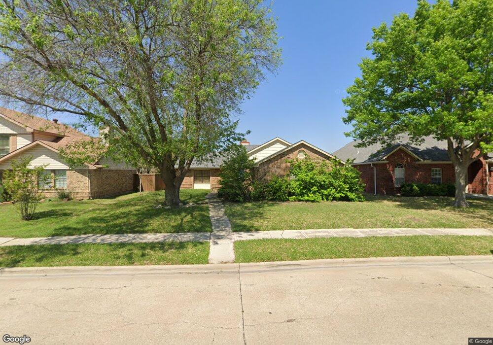
5704 Turner St the Colony, TX 75056
Estimated Value: $282,000 - $320,000
3
Beds
1
Bath
1,220
Sq Ft
$247/Sq Ft
Est. Value
About This Home
This home is located at 5704 Turner St, the Colony, TX 75056 and is currently estimated at $301,750, approximately $247 per square foot. 5704 Turner St is a home located in Denton County with nearby schools including B B Owen Elementary School, Griffin Middle School, and The Colony High School.
Ownership History
Date
Name
Owned For
Owner Type
Purchase Details
Closed on
Mar 5, 2020
Sold by
Gray Michael Dwayne
Bought by
Dorris Victoria Estelle
Current Estimated Value
Purchase Details
Closed on
Aug 22, 2012
Sold by
Gray Paula Yvette
Bought by
Gray Michael Dwayne
Purchase Details
Closed on
Nov 19, 2008
Sold by
Blair Paul B and Blair Joanna
Bought by
Jozefiak Bartosz M and Jozefiak Cynthia G
Home Financials for this Owner
Home Financials are based on the most recent Mortgage that was taken out on this home.
Original Mortgage
$261,548
Interest Rate
6.5%
Mortgage Type
FHA
Create a Home Valuation Report for This Property
The Home Valuation Report is an in-depth analysis detailing your home's value as well as a comparison with similar homes in the area
Home Values in the Area
Average Home Value in this Area
Purchase History
| Date | Buyer | Sale Price | Title Company |
|---|---|---|---|
| Dorris Victoria Estelle | -- | None Available | |
| Gray Michael Dwayne | -- | None Available | |
| Jozefiak Bartosz M | -- | Universal Land Title |
Source: Public Records
Mortgage History
| Date | Status | Borrower | Loan Amount |
|---|---|---|---|
| Previous Owner | Jozefiak Bartosz M | $261,548 |
Source: Public Records
Tax History Compared to Growth
Tax History
| Year | Tax Paid | Tax Assessment Tax Assessment Total Assessment is a certain percentage of the fair market value that is determined by local assessors to be the total taxable value of land and additions on the property. | Land | Improvement |
|---|---|---|---|---|
| 2025 | $2,460 | $250,686 | $79,200 | $171,486 |
| 2024 | $4,658 | $240,018 | $0 | $0 |
| 2023 | $2,462 | $218,198 | $125,400 | $154,842 |
| 2022 | $4,164 | $198,362 | $72,600 | $174,559 |
| 2021 | $4,016 | $180,329 | $46,332 | $133,997 |
| 2020 | $3,705 | $166,688 | $46,332 | $129,538 |
| 2019 | $3,479 | $151,535 | $46,332 | $127,811 |
| 2018 | $3,183 | $137,759 | $46,332 | $108,882 |
| 2017 | $2,925 | $125,235 | $46,332 | $97,220 |
| 2016 | $2,541 | $113,850 | $26,862 | $98,353 |
| 2015 | $2,057 | $103,500 | $26,862 | $77,351 |
| 2013 | -- | $85,537 | $26,862 | $62,495 |
Source: Public Records
Map
Nearby Homes
- 5633 Trego St
- 5621 Truitt St
- 5588 Squires Dr
- 5912 Madison Dr
- 5613 Woodlands Dr
- 5617 Woodlands Dr
- 5621 Woodlands Dr
- 5661 Woodlands Dr
- 5549 Ragan Dr
- 3399 Columbus Dr
- 5548 Rice Dr
- 3581 Senate Ln
- 3487 Pilgrim Dr
- 5513 Rearn Dr
- 6076 Dooley Dr
- 2366 Alcove Dr
- 2416 Haft River Rd
- 6082 Dooley Dr
- 5612 Pearce St
- 3459 United Ln