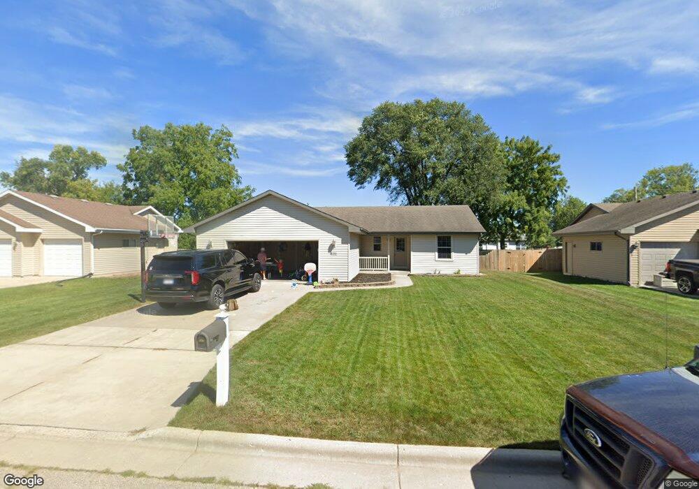
571 S Grant Ave Janesville, WI 53548
Estimated Value: $245,000
3
Beds
2
Baths
1,250
Sq Ft
$196/Sq Ft
Est. Value
About This Home
This home is located at 571 S Grant Ave, Janesville, WI 53548 and is currently priced at $245,000, approximately $196 per square foot. 571 S Grant Ave is a home located in Rock County with nearby schools including Madison Elementary School, Franklin Middle School, and Parker High School.
Ownership History
Date
Name
Owned For
Owner Type
Purchase Details
Closed on
Jun 30, 2011
Sold by
Preferred Homes Inc
Bought by
Bowers Benjamin David and Bowers Andrea Marie
Current Estimated Value
Home Financials for this Owner
Home Financials are based on the most recent Mortgage that was taken out on this home.
Original Mortgage
$116,352
Outstanding Balance
$80,009
Interest Rate
4.5%
Mortgage Type
FHA
Purchase Details
Closed on
Aug 7, 2008
Sold by
Harris William A and Harris Nancie A
Bought by
First Community Bank
Create a Home Valuation Report for This Property
The Home Valuation Report is an in-depth analysis detailing your home's value as well as a comparison with similar homes in the area
Home Values in the Area
Average Home Value in this Area
Purchase History
| Date | Buyer | Sale Price | Title Company |
|---|---|---|---|
| Bowers Benjamin David | $119,400 | None Available | |
| First Community Bank | -- | None Available |
Source: Public Records
Mortgage History
| Date | Status | Borrower | Loan Amount |
|---|---|---|---|
| Open | Bowers Benjamin David | $116,352 |
Source: Public Records
Tax History Compared to Growth
Tax History
| Year | Tax Paid | Tax Assessment Tax Assessment Total Assessment is a certain percentage of the fair market value that is determined by local assessors to be the total taxable value of land and additions on the property. | Land | Improvement |
|---|---|---|---|---|
| 2021 | $4,491 | $197,400 | $18,000 | $179,400 |
| 2020 | $3,855 | $175,500 | $18,000 | $157,500 |
| 2019 | $3,599 | $169,100 | $18,000 | $151,100 |
| 2018 | $3,046 | $121,500 | $18,000 | $103,500 |
| 2017 | $2,986 | $121,500 | $18,000 | $103,500 |
| 2016 | $3,108 | $121,500 | $18,000 | $103,500 |
| 2015 | $2,823 | $121,500 | $18,000 | $103,500 |
| 2014 | $2,868 | $121,500 | $18,000 | $103,500 |
| 2013 | $2,868 | $121,500 | $18,000 | $103,500 |
Source: Public Records
Map
Nearby Homes
- 702 S Willard Ave
- 1803 Rockport Rd
- 612 S Chatham St
- 2821 W Court St
- 18 S Pearl St
- 1826 Bond Place
- 702 S Washington St
- 1300 Grand Ave
- 2823 Mackintosh Dr
- 214 N Chatham St
- 1122 Grand Ave
- 1220 S Grant Ave
- 2005 W State St
- 1521 Ravine St
- 217 N Pearl St
- 323 Center Ave
- 333 Linn St
- 1221 Drake St
- 152 Linn St
- 1326 S Orchard St
- 579 S Grant Ave
- 563 S Grant Ave
- 502 S Orchard St
- 510 S Orchard St
- 494 S Orchard St
- 587 S Grant Ave
- 547 S Grant Ave
- 516 S Orchard St
- 568 S Grant Ave
- 595 S Grant Ave
- 576 S Grant Ave
- 522 S Orchard St
- 584 S Grant Ave
- 560 S Grant Ave
- 590 S Grant Ave
- 528 S Orchard St
- 550 S Grant Ave
- 544 S Grant Ave
- 515 S Orchard St
- 507 S Orchard St