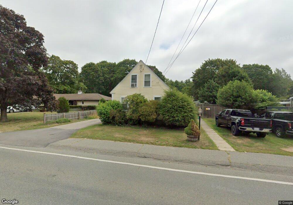
573 Adams St Abington, MA 02351
Estimated Value: $517,000 - $565,000
2
Beds
2
Baths
1,301
Sq Ft
$415/Sq Ft
Est. Value
About This Home
This home is located at 573 Adams St, Abington, MA 02351 and is currently estimated at $540,238, approximately $415 per square foot. 573 Adams St is a home located in Plymouth County with nearby schools including Beaver Brook Elementary School, Abington Middle School, and Woodsdale School.
Ownership History
Date
Name
Owned For
Owner Type
Purchase Details
Closed on
Jul 15, 1998
Sold by
Dwyer Mark J and Dwyer Julie A
Bought by
Williams James M and Williams Siobhan E
Current Estimated Value
Purchase Details
Closed on
Dec 20, 1991
Sold by
Reynolds William C and Reynolds Nancy B
Bought by
Dwyer Mark J
Create a Home Valuation Report for This Property
The Home Valuation Report is an in-depth analysis detailing your home's value as well as a comparison with similar homes in the area
Home Values in the Area
Average Home Value in this Area
Purchase History
| Date | Buyer | Sale Price | Title Company |
|---|---|---|---|
| Williams James M | $133,000 | -- | |
| Dwyer Mark J | $132,000 | -- |
Source: Public Records
Mortgage History
| Date | Status | Borrower | Loan Amount |
|---|---|---|---|
| Open | Dwyer Mark J | $206,000 | |
| Closed | Dwyer Mark J | $195,000 | |
| Closed | Dwyer Mark J | $165,000 |
Source: Public Records
Tax History Compared to Growth
Tax History
| Year | Tax Paid | Tax Assessment Tax Assessment Total Assessment is a certain percentage of the fair market value that is determined by local assessors to be the total taxable value of land and additions on the property. | Land | Improvement |
|---|---|---|---|---|
| 2025 | $5,818 | $445,500 | $242,000 | $203,500 |
| 2024 | $5,616 | $419,700 | $209,200 | $210,500 |
| 2023 | $5,317 | $374,200 | $182,300 | $191,900 |
| 2022 | $5,195 | $341,300 | $159,800 | $181,500 |
| 2021 | $4,753 | $288,400 | $145,200 | $143,200 |
| 2020 | $4,828 | $284,000 | $140,900 | $143,100 |
| 2019 | $13,136 | $259,700 | $134,300 | $125,400 |
| 2018 | $4,528 | $254,100 | $134,300 | $119,800 |
| 2017 | $12,839 | $227,700 | $134,300 | $93,400 |
| 2016 | $3,871 | $215,900 | $128,000 | $87,900 |
| 2015 | $3,701 | $217,700 | $128,000 | $89,700 |
Source: Public Records
Map
Nearby Homes
- 120 Glen St
- 1085 Bedford St
- 1077 Bedford St
- 57 Battery St
- 29 West St
- 1353 Washington St
- 27 Fir Rd
- 20 Cleverly St Unit B2
- 40 Fir Rd Unit 386
- 0 Bedford St
- 46 Wardson Cir
- 20 Birch St
- 1210 Washington St
- 28 Sylvan Ct
- 11 Hawthorne St
- 3 Hickory Cir
- 94 Leisurewoods Dr
- 28 Nevens Cir
- 86 Leisurewoods Dr Unit 279
- 676 Bedford St
- 583 Adams St
- 569 Adams St
- 580 Adams St
- 589 Adams St
- 561 Adams St
- 595 Adams St
- 590 Adams St
- 556 Adams St Unit 1
- 556 Adams St
- 556 Adams St Unit 2
- 545 Adams St
- 558 Adams St Unit 2
- 600 Adams St
- 546 Adams St
- 546 Adams St Unit 2
- 546 Adams St Unit 1
- 546 Adams St Unit 3
- 546 Adams St Unit 4
- 537 Adams St
- 613 Adams St