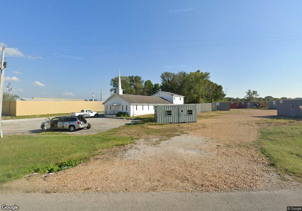
5730 W Us Highway 60 Brookline, MO 65619
Southwest Springfield NeighborhoodEstimated Value: $217,000 - $325,000
3
Beds
3
Baths
1,819
Sq Ft
$147/Sq Ft
Est. Value
About This Home
This home is located at 5730 W Us Highway 60, Brookline, MO 65619 and is currently estimated at $267,345, approximately $146 per square foot. 5730 W Us Highway 60 is a home located in Greene County with nearby schools including Price Elementary School, Republic Middle School, and Republic High School.
Ownership History
Date
Name
Owned For
Owner Type
Purchase Details
Closed on
Oct 20, 2014
Sold by
Jenkins Elizabeth Ann
Bought by
Siverly Vicky Lynn and Bradshaw Marianne Catherine
Current Estimated Value
Purchase Details
Closed on
Apr 10, 2012
Sold by
Siverly Vicky Lynn and Siverly Robert D
Bought by
Jenkins Elizabeth Ann
Purchase Details
Closed on
Sep 28, 2011
Sold by
Jenkins Elizabeth Ann
Bought by
Siberly Vicky Lynn and Bradshaw Marianne Catherine
Create a Home Valuation Report for This Property
The Home Valuation Report is an in-depth analysis detailing your home's value as well as a comparison with similar homes in the area
Home Values in the Area
Average Home Value in this Area
Purchase History
| Date | Buyer | Sale Price | Title Company |
|---|---|---|---|
| Siverly Vicky Lynn | -- | None Available | |
| Jenkins Elizabeth Ann | -- | None Available | |
| Siberly Vicky Lynn | -- | None Available | |
| Siverly Vicky Lynn | -- | None Available |
Source: Public Records
Tax History Compared to Growth
Tax History
| Year | Tax Paid | Tax Assessment Tax Assessment Total Assessment is a certain percentage of the fair market value that is determined by local assessors to be the total taxable value of land and additions on the property. | Land | Improvement |
|---|---|---|---|---|
| 2025 | $899 | $17,210 | $5,890 | $11,320 |
| 2024 | $899 | $15,790 | $5,280 | $10,510 |
| 2023 | $881 | $15,790 | $5,280 | $10,510 |
| 2022 | $881 | $15,650 | $5,280 | $10,370 |
| 2021 | $881 | $15,650 | $5,280 | $10,370 |
| 2020 | $806 | $15,460 | $5,280 | $10,180 |
| 2019 | $803 | $15,460 | $5,280 | $10,180 |
| 2018 | $874 | $16,320 | $5,280 | $11,040 |
| 2017 | $0 | $15,750 | $5,280 | $10,470 |
| 2016 | $845 | $15,750 | $5,280 | $10,470 |
| 2015 | $844 | $15,750 | $5,280 | $10,470 |
| 2014 | $821 | $15,160 | $5,280 | $9,880 |
Source: Public Records
Map
Nearby Homes
- 4041 S Farm Road 107
- 5394 W State Highway M
- Tract 4 S Farm Road 115
- 4085 E Ashwood Ct
- 4082 E Ashwood Ct
- 3920 E Linden Ln
- 4093 E Ashwood St
- 4058 E Ashwood Ct
- 1755 N Boxwood Dr
- 4090 E Ashwood Ct
- 4098 E Ashwood Ct
- 4074 E Ashwood Ct
- 6259 W Republic Rd
- The Charleston Plan at Wilson's Valley
- The Mesa W/Basement Plan at Wilson's Valley
- The Manhattan Plan at Wilson's Valley
- The Savannah Plan at Wilson's Valley
- The Aspen W/Basement Plan at Wilson's Valley
- The Dayton Plan at Wilson's Valley
- The Charleston W/Basement Plan at Wilson's Valley
- 5675 W Farm Road 164
- 5800 U S 60
- 5759 W Us Highway 60
- 5759 U S 60
- 5751 W Farm Road 164
- 5723 W Farm Road 164
- 5840 U S 60
- 5850 W Us Hwy 60
- 5850 W Hwy 60
- 5850 U S 60 Unit B
- 5850 U S 60
- 5850 U S 60 Unit G
- 5850 U S 60 Unit D
- 5850 U S 60 Unit E
- 5850 U S 60 Unit F
- 5850 U S 60 Unit A
- 5850 U S 60 Unit H
- 5850 U S 60 Unit C
- 5850 U S 60 Unit 1
- 5634 W Farm Road 164