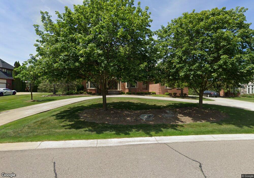
5782 Murfield Dr Rochester, MI 48306
Estimated Value: $1,319,904 - $1,504,000
4
Beds
6
Baths
5,678
Sq Ft
$252/Sq Ft
Est. Value
About This Home
This home is located at 5782 Murfield Dr, Rochester, MI 48306 and is currently estimated at $1,428,226, approximately $251 per square foot. 5782 Murfield Dr is a home located in Oakland County with nearby schools including Brewster Elementary School, Van Hoosen Middle School, and Rochester Adams High School.
Ownership History
Date
Name
Owned For
Owner Type
Purchase Details
Closed on
Oct 4, 2000
Sold by
Scalone Peter
Bought by
Ling Jwong H
Current Estimated Value
Purchase Details
Closed on
Sep 10, 1999
Sold by
Moceri Development Corp
Bought by
Scalone Peter
Purchase Details
Closed on
Aug 11, 1997
Sold by
Dutton Development Corp
Bought by
Moceri Development Corp
Create a Home Valuation Report for This Property
The Home Valuation Report is an in-depth analysis detailing your home's value as well as a comparison with similar homes in the area
Home Values in the Area
Average Home Value in this Area
Purchase History
| Date | Buyer | Sale Price | Title Company |
|---|---|---|---|
| Ling Jwong H | -- | -- | |
| Scalone Peter | -- | -- | |
| Moceri Development Corp | -- | -- |
Source: Public Records
Mortgage History
| Date | Status | Borrower | Loan Amount |
|---|---|---|---|
| Closed | Ling Jwong H | -- |
Source: Public Records
Tax History Compared to Growth
Tax History
| Year | Tax Paid | Tax Assessment Tax Assessment Total Assessment is a certain percentage of the fair market value that is determined by local assessors to be the total taxable value of land and additions on the property. | Land | Improvement |
|---|---|---|---|---|
| 2024 | $6,971 | $564,640 | $0 | $0 |
| 2023 | $6,703 | $520,820 | $0 | $0 |
| 2022 | $9,941 | $486,520 | $0 | $0 |
| 2021 | $9,275 | $483,750 | $0 | $0 |
| 2020 | $6,476 | $473,960 | $0 | $0 |
| 2019 | $9,777 | $461,130 | $0 | $0 |
| 2018 | $9,867 | $453,600 | $0 | $0 |
| 2017 | $9,698 | $443,050 | $0 | $0 |
| 2016 | $9,636 | $426,890 | $0 | $0 |
| 2015 | -- | $403,150 | $0 | $0 |
| 2014 | -- | $344,730 | $0 | $0 |
| 2011 | -- | $357,530 | $0 | $0 |
Source: Public Records
Map
Nearby Homes
- 5826 Murfield Dr
- 5724 Murfield Dr
- 2821 Addison Cir S
- 3185 Saint James Ct
- 2750 Castlemartin Ct Unit 22
- 5350 Brewster Rd
- 2794 Castlemartin Ct
- 1906 Independence Ct
- 2879 Hastings Ct Unit 73
- 2935 Woodford Cir
- 3273 Salem Dr
- 1609 Kilburn Rd N
- 3582 Tremonte Cir S Unit 276
- 3577 Oakmonte Blvd
- 3522 Oakmonte Blvd Unit 115
- 3574 Oakmonte Blvd
- 5700 Rolling Hills Dr
- 1701 Silver Bell Rd
- 0000 Silver Bell Rd
- 5537 Orchard Ridge Dr
- 0 Murfield Unit 29006728
- 5804 Murfield Dr
- 5770 Murfield Dr
- 5760 Murfield Dr
- 5779 Murfield Dr
- 5815 Murfield Dr
- 5835 Murfield Dr
- 5744 Lochmoor Ct
- 5750 Murfield Dr
- 2969 Addison Cir S
- 5766 Lochmoor Ct
- 5797 Mystic Ln
- 5777 Mystic Ln
- 5859 Murfield Dr
- 2947 Addison Cir S
- 5790 Mystic Ln
- 5742 Murfield Dr
- 2955 Lancewood Blvd
- 2975 Lancewood Blvd
- 5846 Murfield Dr