579 Mountain Laurel Ln Ellijay, GA 30536
Estimated Value: $608,432 - $752,000
--
Bed
--
Bath
2,361
Sq Ft
$280/Sq Ft
Est. Value
About This Home
This home is located at 579 Mountain Laurel Ln, Ellijay, GA 30536 and is currently estimated at $660,108, approximately $279 per square foot. 579 Mountain Laurel Ln is a home with nearby schools including Ellijay Elementary School, Clear Creek Elementary School, and Clear Creek Middle School.
Ownership History
Date
Name
Owned For
Owner Type
Purchase Details
Closed on
Jul 22, 2011
Sold by
Branch Banking & Trust Company
Bought by
Miller Randall W and Miller Amy C
Current Estimated Value
Purchase Details
Closed on
May 3, 2011
Sold by
Porter Richard F
Bought by
Branch Banking & Trust Company
Purchase Details
Closed on
Nov 15, 2010
Sold by
Porter Stacy Ellen
Bought by
Porter Stacy Ellen
Purchase Details
Closed on
Nov 1, 1995
Bought by
Porter Richard F
Purchase Details
Closed on
May 1, 1990
Bought by
Porter Richard F
Create a Home Valuation Report for This Property
The Home Valuation Report is an in-depth analysis detailing your home's value as well as a comparison with similar homes in the area
Home Values in the Area
Average Home Value in this Area
Purchase History
| Date | Buyer | Sale Price | Title Company |
|---|---|---|---|
| Miller Randall W | $160,000 | -- | |
| Branch Banking & Trust Company | -- | -- | |
| Porter Stacy Ellen | -- | -- | |
| Porter Richard F | $30,500 | -- | |
| Porter Richard F | -- | -- |
Source: Public Records
Tax History Compared to Growth
Tax History
| Year | Tax Paid | Tax Assessment Tax Assessment Total Assessment is a certain percentage of the fair market value that is determined by local assessors to be the total taxable value of land and additions on the property. | Land | Improvement |
|---|---|---|---|---|
| 2025 | $3,053 | $232,492 | $69,400 | $163,092 |
| 2024 | $3,053 | $231,868 | $69,400 | $162,468 |
| 2023 | $3,154 | $231,868 | $69,400 | $162,468 |
| 2022 | $3,077 | $196,188 | $60,720 | $135,468 |
| 2021 | $2,950 | $156,788 | $48,840 | $107,948 |
| 2020 | $3,073 | $139,728 | $44,800 | $94,928 |
| 2019 | $2,899 | $128,008 | $42,280 | $85,728 |
| 2018 | $3,145 | $137,088 | $51,360 | $85,728 |
| 2017 | $1,487 | $71,100 | $14,560 | $56,540 |
| 2016 | $1,604 | $63,904 | $6,000 | $57,904 |
| 2015 | $1,406 | $57,036 | $6,000 | $51,036 |
| 2014 | $1,442 | $56,280 | $6,000 | $50,280 |
| 2013 | -- | $58,960 | $6,000 | $52,960 |
Source: Public Records
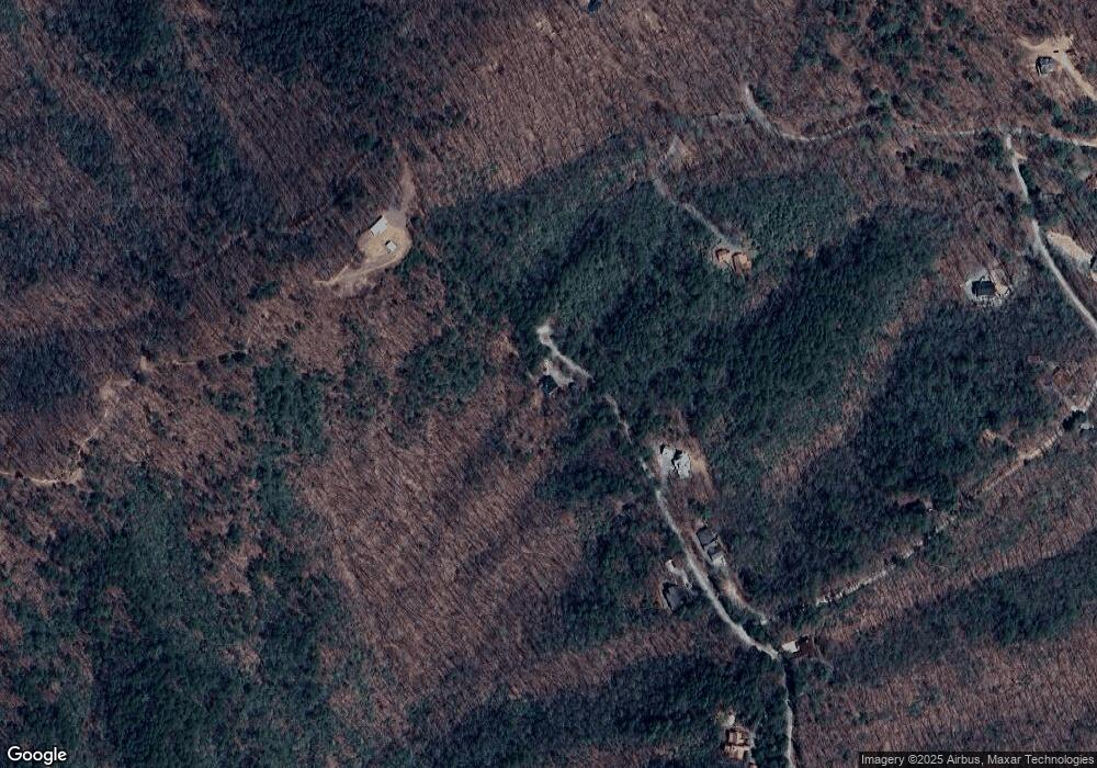
Map
Nearby Homes
- LT 51 LT 52 Buena Vista Dr
- LT51LT52 Buena Vista Dr
- Tract A Fielder Rd
- LOT 19 Owl Mountain Rd
- 115 Beauregard Ln
- 466 Scrougetown Rd
- 615 Cherokee Cir
- 768 Cherokee Cir
- 34 Garrett Dr
- 373 Scrougetown Rd
- Lot 9 Cherokee Cir Unit 9
- Lot 9 Cherokee Cir
- Lot 58 Cherokee Cir
- Lot 10 Cherokee Cir Unit 10
- Lot 10 Cherokee Cir
- 87 Owltown Dr
- 87 Owltown Dr Unit L40
- 380 Rainbow Mountain Dr
- 1225 Walnut Ridge
- 1285 Walnut Ridge
- 487 Mountain Laurel Ln
- 520 Mountain Laurel Ln
- 520 Mountain Laurel Ln
- 439 Mountain Laurel Ln
- 448 Mountain Laurel Ln
- 649 Spring Lake Trail
- 25 Buena Vista Dr
- 286 Mountain Laurel Ln
- 670 Spring Lake Trail
- 52 Buena Vista Dr
- 116 Buena Vista Dr
- 64 Mountain Laurel Ln
- 54 Mountain Laurel Ln
- 55A&B Buena Vista Dr
- LT 69 Buena Vista Dr
- 425 Berta Dr
- 176 Mountain Laurel Ln
- 173 Mountain Laurel Ln
- 0 Spring Lake Trail Unit 7103108
- 0 Spring Lake Trail Unit 294435