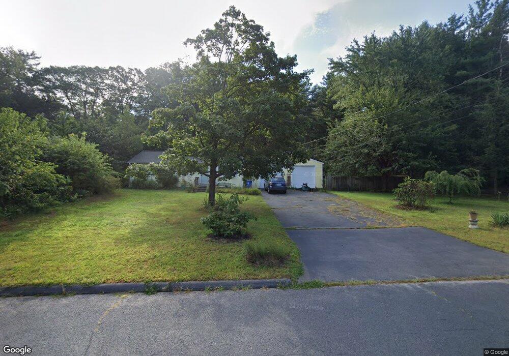
58 E Shore Blvd Burlington, CT 06013
Estimated Value: $298,000 - $533,000
3
Beds
1
Bath
912
Sq Ft
$402/Sq Ft
Est. Value
About This Home
This home is located at 58 E Shore Blvd, Burlington, CT 06013 and is currently estimated at $366,536, approximately $401 per square foot. 58 E Shore Blvd is a home located in Hartford County with nearby schools including Lake Garda Elementary School, Har-Bur Middle School, and Lewis S. Mills High School.
Ownership History
Date
Name
Owned For
Owner Type
Purchase Details
Closed on
Nov 26, 1996
Sold by
Hawks Kathleen B
Bought by
Hurtado Mario G and Hurtado Darlene S
Current Estimated Value
Home Financials for this Owner
Home Financials are based on the most recent Mortgage that was taken out on this home.
Original Mortgage
$145,859
Interest Rate
7.81%
Mortgage Type
Unknown
Create a Home Valuation Report for This Property
The Home Valuation Report is an in-depth analysis detailing your home's value as well as a comparison with similar homes in the area
Home Values in the Area
Average Home Value in this Area
Purchase History
| Date | Buyer | Sale Price | Title Company |
|---|---|---|---|
| Hurtado Mario G | $151,000 | -- | |
| Hurtado Mario G | $151,000 | -- |
Source: Public Records
Mortgage History
| Date | Status | Borrower | Loan Amount |
|---|---|---|---|
| Open | Hurtado Mario G | $77,020 | |
| Closed | Hurtado Mario G | $50,875 | |
| Closed | Hurtado Mario G | $25,437 | |
| Closed | Hurtado Mario G | $145,859 |
Source: Public Records
Tax History Compared to Growth
Tax History
| Year | Tax Paid | Tax Assessment Tax Assessment Total Assessment is a certain percentage of the fair market value that is determined by local assessors to be the total taxable value of land and additions on the property. | Land | Improvement |
|---|---|---|---|---|
| 2025 | $4,102 | $154,210 | $42,910 | $111,300 |
| 2024 | $3,994 | $154,210 | $42,910 | $111,300 |
| 2023 | $3,703 | $115,010 | $47,670 | $67,340 |
| 2022 | $3,761 | $115,010 | $47,670 | $67,340 |
| 2021 | $3,841 | $115,010 | $47,670 | $67,340 |
| 2020 | $3,830 | $115,010 | $47,670 | $67,340 |
| 2019 | $3,795 | $115,010 | $47,670 | $67,340 |
| 2018 | $3,656 | $112,490 | $47,670 | $64,820 |
| 2017 | $3,600 | $112,490 | $47,670 | $64,820 |
| 2016 | $3,555 | $112,490 | $47,670 | $64,820 |
| 2015 | $3,498 | $112,490 | $47,670 | $64,820 |
| 2014 | $3,358 | $112,490 | $47,670 | $64,820 |
Source: Public Records
Map
Nearby Homes
- 10 Woodside Dr
- 17 Pine Dr
- 220 Monce Rd Unit 17
- 50 E Shore Blvd
- 69 Lake Garda Dr
- 16 Strong St
- 61 Litchfield Rd
- 487 Plainville Ave
- 4 Sable Ct Unit 4
- 134 Brentwood Dr
- 6 Burlington Rd
- 12 Mine Rd
- 109 Dogwood Ln
- 10 Stone Ridge Crossing
- 26 Cherry Hill Dr
- 229 Jerome Ave
- 7 Newcastle Place
- 27 Westview Terrace
- 20 Farm Dr
- 86 Alpine Dr
- 46 E Shore Blvd
- 62 E Shore Blvd
- 18 Woodcrest Dr Unit 20
- 18 Woodcrest Dr
- 18 Woodcrest Dr Unit 17
- 18 Woodcrest Dr Unit 19
- 38 Rio Rd
- 29 Rio Rd
- 63 E Shore Blvd
- 66 E Shore Blvd
- 27 Woodcrest Dr Unit 8
- 27 Woodcrest Dr Unit 6
- 35 Woodcrest Dr Unit 13
- 27 Woodcrest Dr Unit 2
- 35 Woodcrest Dr Unit 15
- 35 Woodcrest Dr Unit 10
- 35 Woodcrest Dr Unit 14
- 27 Woodcrest Dr Unit 7
- 27 Woodcrest Dr Unit 5
- 27 Woodcrest Dr Unit 3