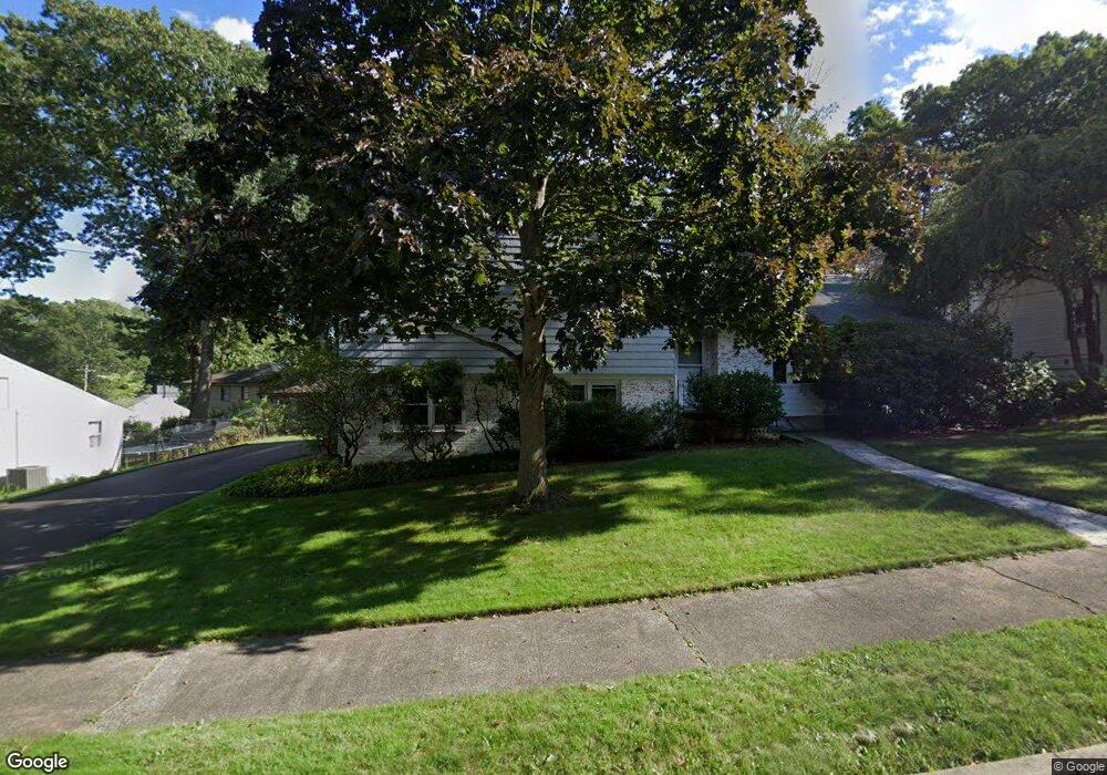
58 Stevenson Rd New Haven, CT 06515
Westville NeighborhoodEstimated Value: $464,000 - $557,000
3
Beds
3
Baths
1,810
Sq Ft
$279/Sq Ft
Est. Value
About This Home
This home is located at 58 Stevenson Rd, New Haven, CT 06515 and is currently estimated at $504,175, approximately $278 per square foot. 58 Stevenson Rd is a home located in New Haven County with nearby schools including Elm City Montessori School and Hopkins School.
Ownership History
Date
Name
Owned For
Owner Type
Purchase Details
Closed on
Feb 20, 2025
Sold by
Burgo-Black Andrea L
Bought by
Andrea L Burgo-Black Ret and Burgo-Black
Current Estimated Value
Purchase Details
Closed on
Aug 15, 2022
Sold by
Ethel A Lamer T
Bought by
Burgo-Black Andrea L
Purchase Details
Closed on
Feb 21, 1997
Sold by
Qualified Pers Res Tr and Shure James M
Bought by
Ethel A Lamer Trust
Create a Home Valuation Report for This Property
The Home Valuation Report is an in-depth analysis detailing your home's value as well as a comparison with similar homes in the area
Home Values in the Area
Average Home Value in this Area
Purchase History
| Date | Buyer | Sale Price | Title Company |
|---|---|---|---|
| Andrea L Burgo-Black Ret | -- | None Available | |
| Andrea L Burgo-Black Ret | -- | None Available | |
| Burgo-Black Andrea L | -- | None Available | |
| Burgo-Black Andrea L | -- | None Available | |
| Ethel A Lamer Trust | $130,000 | -- | |
| Ethel A Lamer Trust | $130,000 | -- |
Source: Public Records
Tax History Compared to Growth
Tax History
| Year | Tax Paid | Tax Assessment Tax Assessment Total Assessment is a certain percentage of the fair market value that is determined by local assessors to be the total taxable value of land and additions on the property. | Land | Improvement |
|---|---|---|---|---|
| 2025 | $10,605 | $269,150 | $63,700 | $205,450 |
| 2024 | $9,136 | $237,300 | $63,700 | $173,600 |
| 2023 | $8,828 | $237,300 | $63,700 | $173,600 |
| 2022 | $9,433 | $237,300 | $63,700 | $173,600 |
| 2021 | $7,317 | $166,740 | $41,370 | $125,370 |
| 2020 | $7,317 | $166,740 | $41,370 | $125,370 |
| 2019 | $7,166 | $166,740 | $41,370 | $125,370 |
| 2018 | $7,166 | $166,740 | $41,370 | $125,370 |
| 2017 | $6,450 | $166,740 | $41,370 | $125,370 |
| 2016 | $6,876 | $165,480 | $42,980 | $122,500 |
| 2015 | $6,876 | $165,480 | $42,980 | $122,500 |
| 2014 | $6,876 | $165,480 | $42,980 | $122,500 |
Source: Public Records
Map
Nearby Homes
- 195 Stevenson Rd
- 36 Birch Dr
- 119 Brooklawn Cir
- 360 Fountain St Unit 5
- 51 Fountain Terrace
- 126 Willard St
- 55 Marvel Rd
- 690 Forest Rd Unit 702
- 690 Forest Rd Unit 392
- 690 Forest Rd Unit 511
- 1975 Chapel St
- 119 Westwood Rd
- 699 Forest Rd
- 206 W Rock Ave
- 1016 Whalley Ave Unit 6
- 233 Valley St
- 70 Fountain St Unit 4
- 11 Priscilla Rd
- 999 Whalley Ave Unit 1H
- 120 Emerson St
- 46 Stevenson Rd
- 68 Stevenson Rd
- 31 Whittier Rd
- 57 Stevenson Rd
- 65 Stevenson Rd
- 47 Stevenson Rd
- 36 Stevenson Rd
- 80 Stevenson Rd
- 15 Whittier Rd
- 41 Whittier Rd
- 37 Stevenson Rd
- 75 Stevenson Rd
- 30 Whittier Rd
- 126 Conrad Dr
- 116 Conrad Dr
- 136 Conrad Dr
- 26 Stevenson Rd
- 83 Kohary Dr
- 90 Stevenson Rd
- 106 Conrad Dr