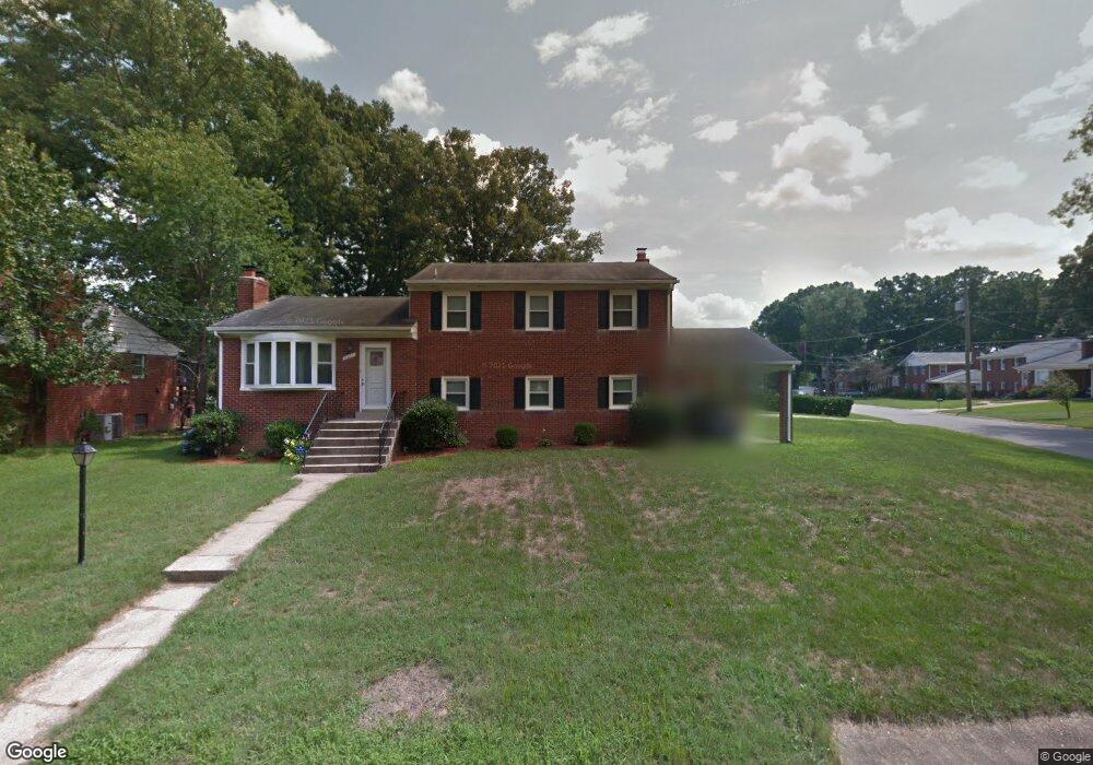
5807 Arbroath Dr Clinton, MD 20735
Estimated Value: $350,000 - $464,000
--
Bed
3
Baths
2,228
Sq Ft
$187/Sq Ft
Est. Value
About This Home
This home is located at 5807 Arbroath Dr, Clinton, MD 20735 and is currently estimated at $416,092, approximately $186 per square foot. 5807 Arbroath Dr is a home located in Prince George's County with nearby schools including James Ryder Randall Elementary School, Stephen Decatur Middle School, and Surrattsville High School.
Ownership History
Date
Name
Owned For
Owner Type
Purchase Details
Closed on
Apr 13, 2016
Bought by
Barnes Portia and Barnes Shelby
Current Estimated Value
Home Financials for this Owner
Home Financials are based on the most recent Mortgage that was taken out on this home.
Original Mortgage
$248,334
Outstanding Balance
$196,162
Interest Rate
3.59%
Estimated Equity
$219,930
Purchase Details
Closed on
Jan 23, 2002
Sold by
Secretary Of Veterans Affairs
Bought by
Barnes Portia L
Purchase Details
Closed on
Sep 26, 2001
Sold by
Squire Risas and Squire Darla L
Bought by
Secretary Of Veterans Affairs
Purchase Details
Closed on
Dec 1, 1995
Sold by
Derrick Derrick J
Bought by
Squire Risas and Squire Darla L
Create a Home Valuation Report for This Property
The Home Valuation Report is an in-depth analysis detailing your home's value as well as a comparison with similar homes in the area
Home Values in the Area
Average Home Value in this Area
Purchase History
| Date | Buyer | Sale Price | Title Company |
|---|---|---|---|
| Barnes Portia | -- | -- | |
| Barnes Portia L | $160,777 | -- | |
| Secretary Of Veterans Affairs | $132,195 | -- | |
| Squire Risas | $159,950 | -- |
Source: Public Records
Mortgage History
| Date | Status | Borrower | Loan Amount |
|---|---|---|---|
| Open | Barnes Portia | $248,334 | |
| Closed | Barnes Portia | -- |
Source: Public Records
Tax History Compared to Growth
Tax History
| Year | Tax Paid | Tax Assessment Tax Assessment Total Assessment is a certain percentage of the fair market value that is determined by local assessors to be the total taxable value of land and additions on the property. | Land | Improvement |
|---|---|---|---|---|
| 2025 | $4,556 | $378,900 | $101,300 | $277,600 |
| 2024 | $4,556 | $343,000 | $0 | $0 |
| 2023 | $4,333 | $307,100 | $0 | $0 |
| 2022 | $4,078 | $271,200 | $101,300 | $169,900 |
| 2021 | $3,932 | $264,400 | $0 | $0 |
| 2020 | $3,877 | $257,600 | $0 | $0 |
| 2019 | $3,800 | $250,800 | $100,600 | $150,200 |
| 2018 | $3,737 | $250,800 | $100,600 | $150,200 |
| 2017 | $3,695 | $250,800 | $0 | $0 |
| 2016 | -- | $254,100 | $0 | $0 |
| 2015 | $3,252 | $248,333 | $0 | $0 |
| 2014 | $3,252 | $242,567 | $0 | $0 |
Source: Public Records
Map
Nearby Homes
- 5900 Arbroath Dr
- 5910 Arbroath Dr
- 6009 Sellner Ln
- 6006 Runnymeade Ave
- 6109 Kirby Rd
- 6005 Plata St
- 7308 Berkshire Dr
- 6004 Butterfield Dr
- 5916 Chris Mar Ave
- 5218 Kenstan Dr
- 5801 San Juan Dr
- 5506 San Juan Dr
- 7002 Taylor Manor Ave
- 7100 Murphy Ct
- 5209 Sumter Ct
- 6410 Woodley Rd
- 5700 Mansfield Dr
- 7201 Loch Raven Rd
- 5509 Windsor Dr
- 6901 Westchester Dr
- 7902 Hastings Ln
- 5809 Arbroath Dr
- 7903 Arbroath Ct
- 5805 Arbroath Dr
- 5806 Arbroath Dr
- 5808 Arbroath Dr
- 7904 Hastings Ln
- 7903 Hastings Ln
- 5804 Arbroath Dr
- 7905 Arbroath Ct
- 5813 Arbroath Dr
- 5803 Arbroath Dr
- 5812 Arbroath Dr
- 7905 Hastings Ln
- 5802 Arbroath Dr
- 7902 Arbroath Ct
- 7901 Jean Ct
- 7906 Hastings Ln
- 7904 Arbroath Ct
- 5807 Woodland Ln