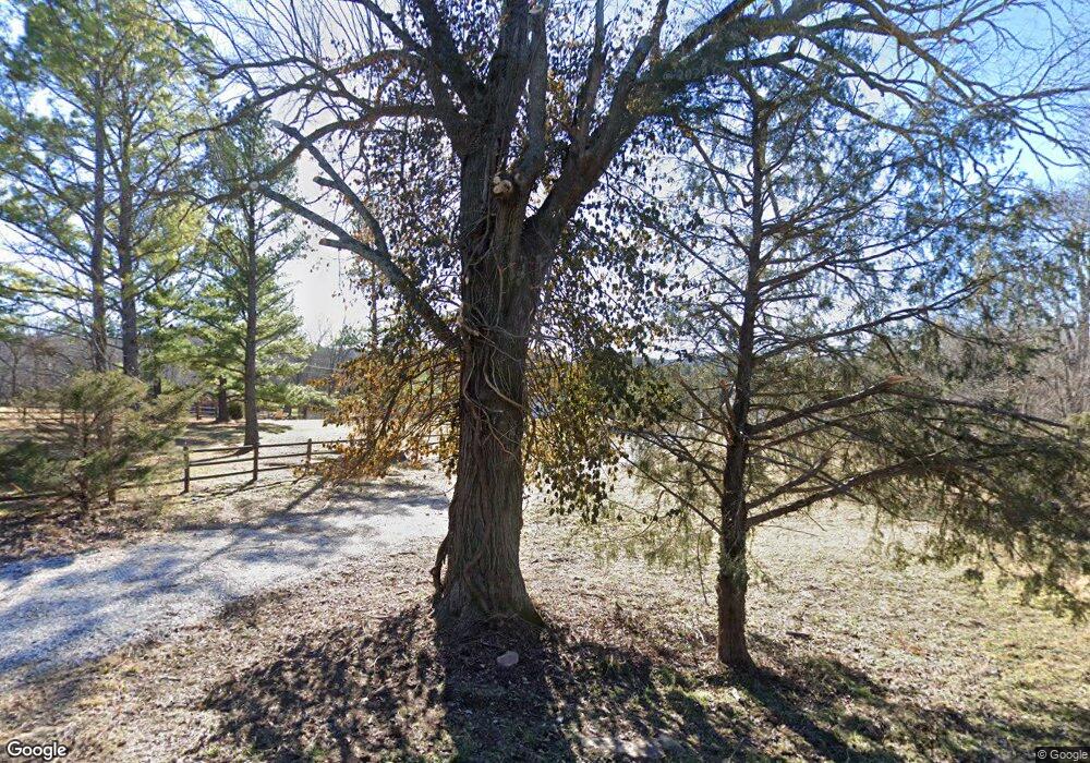
582 County Road 1071 Eureka Springs, AR 72632
Estimated Value: $232,000 - $596,000
--
Bed
--
Bath
1,088
Sq Ft
$355/Sq Ft
Est. Value
About This Home
This home is located at 582 County Road 1071, Eureka Springs, AR 72632 and is currently estimated at $386,095, approximately $354 per square foot. 582 County Road 1071 is a home with nearby schools including Eureka Springs Elementary School, Eureka Springs Middle School, and Eureka Springs High School.
Ownership History
Date
Name
Owned For
Owner Type
Purchase Details
Closed on
Oct 23, 2009
Sold by
Knapp Robert J and Knapp Lisa J
Bought by
Lenard Lewis D and Lenard Janet L
Current Estimated Value
Home Financials for this Owner
Home Financials are based on the most recent Mortgage that was taken out on this home.
Original Mortgage
$120,000
Interest Rate
5.14%
Mortgage Type
Purchase Money Mortgage
Purchase Details
Closed on
Dec 19, 2005
Sold by
Webster
Bought by
Knapp
Purchase Details
Closed on
Sep 27, 1984
Bought by
From White River Inc
Create a Home Valuation Report for This Property
The Home Valuation Report is an in-depth analysis detailing your home's value as well as a comparison with similar homes in the area
Home Values in the Area
Average Home Value in this Area
Purchase History
| Date | Buyer | Sale Price | Title Company |
|---|---|---|---|
| Lenard Lewis D | $150,000 | None Available | |
| Knapp | $86,000 | -- | |
| From White River Inc | $18,000 | -- |
Source: Public Records
Mortgage History
| Date | Status | Borrower | Loan Amount |
|---|---|---|---|
| Closed | Lenard Lewis D | $120,000 |
Source: Public Records
Tax History Compared to Growth
Tax History
| Year | Tax Paid | Tax Assessment Tax Assessment Total Assessment is a certain percentage of the fair market value that is determined by local assessors to be the total taxable value of land and additions on the property. | Land | Improvement |
|---|---|---|---|---|
| 2024 | $1,626 | $45,340 | $24,000 | $21,340 |
| 2023 | $1,409 | $45,340 | $24,000 | $21,340 |
| 2022 | $1,392 | $45,340 | $24,000 | $21,340 |
| 2021 | $1,275 | $24,410 | $6,000 | $18,410 |
| 2020 | $1,225 | $24,410 | $6,000 | $18,410 |
| 2019 | $1,243 | $24,410 | $6,000 | $18,410 |
| 2018 | $1,226 | $24,410 | $6,000 | $18,410 |
| 2017 | $1,130 | $24,410 | $6,000 | $18,410 |
| 2016 | $1,015 | $20,050 | $6,800 | $13,250 |
| 2015 | $1,015 | $20,050 | $6,800 | $13,250 |
| 2014 | -- | $20,050 | $6,800 | $13,250 |
Source: Public Records
Map
Nearby Homes
- 1476 County Road 107
- 576 County Road 1361
- 576 Cr 1361
- 525 County Road 235
- 127 County Road 2120
- 545 County Road 235
- 19379 Highway 62 W
- 10.3 Acres of Cr-118
- 1216 County Road 113 Unit Cabin 7
- 1216 County Road 113 Unit Cabin 8
- 590 County Road 214
- 1150 Cr-113
- 804 County Road 212
- 755 County Road 210
- 0 Dam Site Rd Unit 1258827
- 14137 Ozark Dr
- 22702 Dam Site Loop
- 0 Spider Creek Rd
- Lots 6,7,8 Mystic Warrior Rd
- 402-00001-000 TBD Highway 187
- 522 County Road 1071
- 0 County Rd 1071 Unit 731296
- 0 County Rd 1071 Unit 743292
- 0 County Rd 1071 Unit 1150035
- 610 County Road 1071
- 508 County Road 1071
- 620 County Road 1071
- 654 County Road 1071
- 384 County Road 1071
- 312 County Road 107
- 862 County Road 136
- 670 County Road 1071
- 730 County Road 136
- 360 County Road 1071
- 8295 Highway 187
- 8295 Hwy 187
- 312 Cr 1071
- 304 Cr 1071
- TBD County Rd 1071
- 8044 Highway 187
