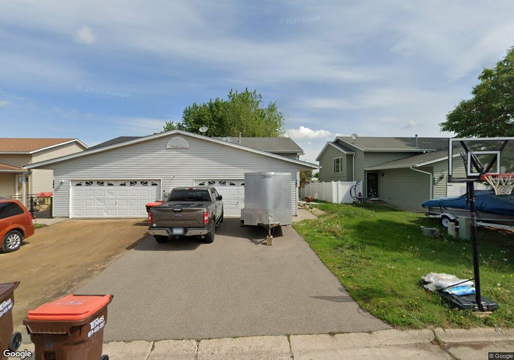
582 Kendall Dr Hastings, MN 55033
Hastings-Marshan Township NeighborhoodEstimated Value: $233,000 - $307,873
3
Beds
2
Baths
938
Sq Ft
$292/Sq Ft
Est. Value
About This Home
This home is located at 582 Kendall Dr, Hastings, MN 55033 and is currently estimated at $274,218, approximately $292 per square foot. 582 Kendall Dr is a home located in Dakota County with nearby schools including Kennedy Elementary School, Hastings Middle School, and Hastings High School.
Ownership History
Date
Name
Owned For
Owner Type
Purchase Details
Closed on
Apr 30, 2010
Sold by
Forga Properties Inc
Bought by
Wynne Joseph J
Current Estimated Value
Home Financials for this Owner
Home Financials are based on the most recent Mortgage that was taken out on this home.
Original Mortgage
$117,000
Interest Rate
4.36%
Mortgage Type
New Conventional
Purchase Details
Closed on
Nov 29, 2007
Sold by
Barfield Samuel A and Barfield Mary
Bought by
Hayden Chris A and Oks Nicholas A
Purchase Details
Closed on
Feb 6, 2004
Sold by
Nedry Wayne C
Bought by
Barfield Samuel A
Purchase Details
Closed on
Jun 30, 1999
Sold by
Munns Arthur J
Bought by
Nedry Wayne C
Purchase Details
Closed on
Jul 1, 1997
Sold by
Cir Homes Inc
Bought by
Minns Arthur J
Purchase Details
Closed on
Jul 24, 1996
Sold by
Builders Development Inc
Bought by
Cir Homes Inc
Create a Home Valuation Report for This Property
The Home Valuation Report is an in-depth analysis detailing your home's value as well as a comparison with similar homes in the area
Home Values in the Area
Average Home Value in this Area
Purchase History
| Date | Buyer | Sale Price | Title Company |
|---|---|---|---|
| Wynne Joseph J | $130,000 | None Available | |
| Hayden Chris A | $177,000 | -- | |
| Barfield Samuel A | $159,500 | -- | |
| Nedry Wayne C | $107,500 | -- | |
| Minns Arthur J | $95,700 | -- | |
| Cir Homes Inc | $32,000 | -- |
Source: Public Records
Mortgage History
| Date | Status | Borrower | Loan Amount |
|---|---|---|---|
| Previous Owner | Wynne Joseph J | $117,000 |
Source: Public Records
Tax History Compared to Growth
Tax History
| Year | Tax Paid | Tax Assessment Tax Assessment Total Assessment is a certain percentage of the fair market value that is determined by local assessors to be the total taxable value of land and additions on the property. | Land | Improvement |
|---|---|---|---|---|
| 2024 | $2,894 | $261,400 | $39,000 | $222,400 |
| 2023 | $2,894 | $261,700 | $39,000 | $222,700 |
| 2022 | $2,354 | $253,100 | $39,000 | $214,100 |
| 2021 | $2,176 | $206,500 | $33,900 | $172,600 |
| 2020 | $2,200 | $191,800 | $32,300 | $159,500 |
| 2019 | $2,053 | $187,900 | $30,700 | $157,200 |
| 2018 | $1,930 | $169,500 | $29,100 | $140,400 |
| 2017 | $1,764 | $156,500 | $27,700 | $128,800 |
| 2016 | $1,796 | $145,300 | $25,900 | $119,400 |
| 2015 | $1,602 | $120,047 | $20,965 | $99,082 |
| 2014 | -- | $107,076 | $19,571 | $87,505 |
| 2013 | -- | $95,958 | $17,197 | $78,761 |
Source: Public Records
Map
Nearby Homes
- 3575 Vermillion St
- 3525 Vermillion St
- 365 Hayes Dr Unit 30
- 235 Tiffany Dr
- 182 Sandpiper Cir
- 3525 Douglas Dr
- 753 Greten Ln
- 782 31st St W
- 3200 Malcolm Ave
- 1163 Teal Way
- 115 Kinglet Dr
- 2000 Forest St
- 1942 Eddy St
- 3591 Village Way
- 3125 Village Trail Unit 217
- 4198 Starling Dr
- 2021 Pine St
- 416 19th St W
- 545 Tuttle Dr
- 528 17th St E
- 584 584 Kendall Dr
- 580 Kendall Dr
- 584 Kendall Dr
- 578 Kendall Dr
- 586 Kendall Dr
- 606 Kendall Dr
- 576 Kendall Dr
- 588 Kendall Dr
- 608 Kendall Dr
- 574 Kendall Dr
- 572 Kendall Dr
- 581 Kendall Dr
- 570 Kendall Dr
- 583 Kendall Dr
- 579 Kendall Dr
- 570 570 Kendall Dr
- 579 579 Kendall Dr
- 585 Kendall Dr
- 577 Kendall Dr
- 587 Kendall Dr