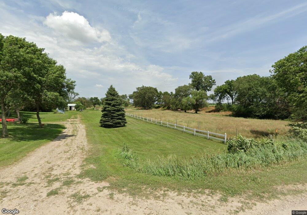
583 142nd St South Sioux City, NE 68776
Estimated Value: $391,000 - $454,000
4
Beds
2
Baths
2,654
Sq Ft
$162/Sq Ft
Est. Value
About This Home
This home is located at 583 142nd St, South Sioux City, NE 68776 and is currently estimated at $429,411, approximately $161 per square foot. 583 142nd St is a home located in Dakota County with nearby schools including Covington Elementary School, South Sioux City Middle School, and South Sioux Senior High School.
Ownership History
Date
Name
Owned For
Owner Type
Purchase Details
Closed on
Oct 16, 2024
Sold by
Bobier Jason and Bobier Brianne
Bought by
Otterpohl Vanessa M
Current Estimated Value
Home Financials for this Owner
Home Financials are based on the most recent Mortgage that was taken out on this home.
Original Mortgage
$200,000
Outstanding Balance
$197,897
Interest Rate
6.35%
Mortgage Type
New Conventional
Estimated Equity
$231,514
Create a Home Valuation Report for This Property
The Home Valuation Report is an in-depth analysis detailing your home's value as well as a comparison with similar homes in the area
Home Values in the Area
Average Home Value in this Area
Purchase History
| Date | Buyer | Sale Price | Title Company |
|---|---|---|---|
| Otterpohl Vanessa M | $415,000 | Lewis & Clark Title | |
| Otterpohl Vanessa M | $415,000 | Lewis & Clark Title |
Source: Public Records
Mortgage History
| Date | Status | Borrower | Loan Amount |
|---|---|---|---|
| Open | Otterpohl Vanessa M | $200,000 | |
| Closed | Otterpohl Vanessa M | $200,000 |
Source: Public Records
Tax History Compared to Growth
Tax History
| Year | Tax Paid | Tax Assessment Tax Assessment Total Assessment is a certain percentage of the fair market value that is determined by local assessors to be the total taxable value of land and additions on the property. | Land | Improvement |
|---|---|---|---|---|
| 2024 | $2,569 | $281,540 | $40,385 | $241,155 |
| 2023 | $3,775 | $271,540 | $30,385 | $241,155 |
| 2022 | $3,619 | $235,210 | $30,385 | $204,825 |
| 2021 | $3,707 | $235,210 | $30,385 | $204,825 |
| 2020 | $2,339 | $145,960 | $30,385 | $115,575 |
| 2019 | $2,291 | $142,340 | $30,385 | $111,955 |
| 2018 | $2,316 | $139,185 | $30,385 | $108,800 |
| 2017 | $6,704 | $410,480 | $320,840 | $89,640 |
| 2016 | $6,618 | $410,860 | $321,220 | $89,640 |
| 2014 | $6,797 | $403,435 | $313,795 | $89,640 |
Source: Public Records
Map
Nearby Homes
- 509 142nd St
- 604 152nd St Unit 36
- 645 Lik-U-wanta Dr
- Lot 14 Likuwanta Dr
- Lot 10 Likuwanta Dr
- Lot 11 Likuwanta Dr
- Lot 12 Likuwanta Dr
- 652 Likuwanta Dr
- 149 Rottunda Way
- 120 Rottunda Way
- 101 Shore Place Ct
- 423 Golf Rd
- 1060 Pebble Beach Dr
- 856 E Sawgrass Trail
- 500 Bay Hill Cir
- 2434 U S 77
- 114 Oakmont Dr
- 652 E Sawgrass Trail
- 875 E Sawgrass Trail
- 424 S Ridge Dr