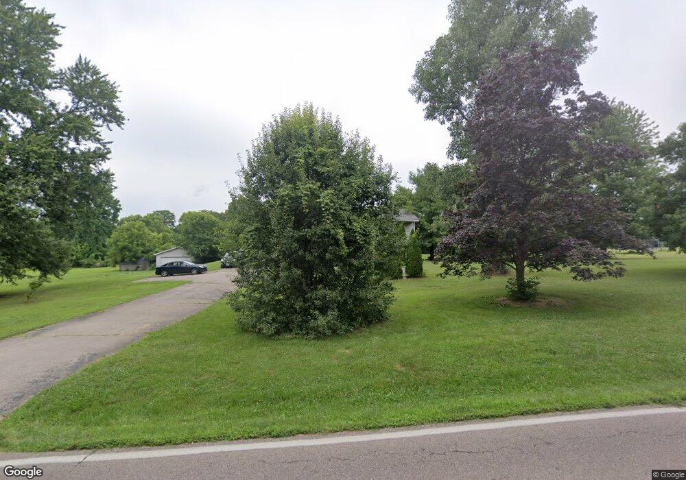
5846 Hamilton Mason Rd Liberty Township, OH 45011
Estimated Value: $474,350 - $492,000
4
Beds
3
Baths
2,669
Sq Ft
$181/Sq Ft
Est. Value
About This Home
This home is located at 5846 Hamilton Mason Rd, Liberty Township, OH 45011 and is currently estimated at $484,338, approximately $181 per square foot. 5846 Hamilton Mason Rd is a home located in Butler County with nearby schools including Heritage Early Childhood School, Endeavor Elementary School, and Lakota Plains Junior School.
Ownership History
Date
Name
Owned For
Owner Type
Purchase Details
Closed on
Mar 8, 2002
Sold by
Majors Donald Scott and Majors Kathy J
Bought by
Johnson Rodgerick E
Current Estimated Value
Home Financials for this Owner
Home Financials are based on the most recent Mortgage that was taken out on this home.
Original Mortgage
$171,200
Outstanding Balance
$70,558
Interest Rate
6.87%
Estimated Equity
$413,780
Purchase Details
Closed on
Jun 15, 2001
Sold by
Maxam Keith A and Maxam Linda A
Bought by
Majors Donald Scott and Majors Kathy J
Home Financials for this Owner
Home Financials are based on the most recent Mortgage that was taken out on this home.
Original Mortgage
$184,000
Interest Rate
7.22%
Purchase Details
Closed on
Oct 1, 1988
Create a Home Valuation Report for This Property
The Home Valuation Report is an in-depth analysis detailing your home's value as well as a comparison with similar homes in the area
Home Values in the Area
Average Home Value in this Area
Purchase History
| Date | Buyer | Sale Price | Title Company |
|---|---|---|---|
| Johnson Rodgerick E | $214,000 | -- | |
| Majors Donald Scott | $214,000 | -- | |
| -- | $113,000 | -- |
Source: Public Records
Mortgage History
| Date | Status | Borrower | Loan Amount |
|---|---|---|---|
| Open | Johnson Rodgerick E | $171,200 | |
| Previous Owner | Majors Donald Scott | $184,000 |
Source: Public Records
Tax History Compared to Growth
Tax History
| Year | Tax Paid | Tax Assessment Tax Assessment Total Assessment is a certain percentage of the fair market value that is determined by local assessors to be the total taxable value of land and additions on the property. | Land | Improvement |
|---|---|---|---|---|
| 2024 | $4,370 | $111,900 | $21,370 | $90,530 |
| 2023 | $4,316 | $111,900 | $21,370 | $90,530 |
| 2022 | $4,146 | $84,160 | $21,370 | $62,790 |
| 2021 | $4,123 | $84,160 | $21,370 | $62,790 |
| 2020 | $4,231 | $84,160 | $21,370 | $62,790 |
| 2019 | $6,799 | $70,580 | $21,370 | $49,210 |
| 2018 | $3,965 | $70,580 | $21,370 | $49,210 |
| 2017 | $4,028 | $70,580 | $21,370 | $49,210 |
| 2016 | $3,677 | $63,820 | $21,370 | $42,450 |
| 2015 | $3,678 | $63,820 | $21,370 | $42,450 |
| 2014 | $3,710 | $63,820 | $21,370 | $42,450 |
| 2013 | $3,710 | $62,170 | $19,970 | $42,200 |
Source: Public Records
Map
Nearby Homes
- 7281 Cinnamon Woods Dr
- 5981 Birkdale Dr
- 5716 E Senour Dr
- 6038 Glennsbury Ct
- 5677 E Senour Dr
- 5663 E Senour Dr
- 5577 Dove Ln
- 6168 Juneberry Ct
- 7644 Eleventh Hour Ln
- 7690 Wharton Ct
- 7078 Lakota Ridge Dr
- 7628 Lesourdsville West Chester Rd
- 6696 Raven Crest
- 7534 Galway Ct
- 5856 Ferdinand Dr
- 7712 Whitehall Cir E
- 6335 Dewberry Ct
- 6638 Ashe Knoll
- 7420 Kennesaw Dr
- 7717 Whitehall Cir W
- 5816 Hamilton Mason Rd
- 5878 Hamilton Mason Rd
- 5883 Hamilton Mason Rd
- 7125 Lesourdsville West Chester Rd
- 5841 Hamilton Mason Rd
- 5863 Hamilton Mason Rd
- 5784 Hamilton Mason Rd
- 7113 Lesourdsville West Chester Rd
- 5819 Hamilton Mason Rd
- 7134 Lesourdsville West Chester Rd
- 7225 Lesourdsville West Chester Rd
- 5797 Hamilton Mason Rd
- 5938 Glenngate Ct
- 7122 Lesourdsville West Chester Rd
- 5928 Glenngate Ct
- 5948 Glenngate Ct
- 7164 Brightwaters Ct
- 5889 Rollingsfjord Dr
- 7271 Lesourdsville West Chester Rd
- 5935 Glenngate Ct