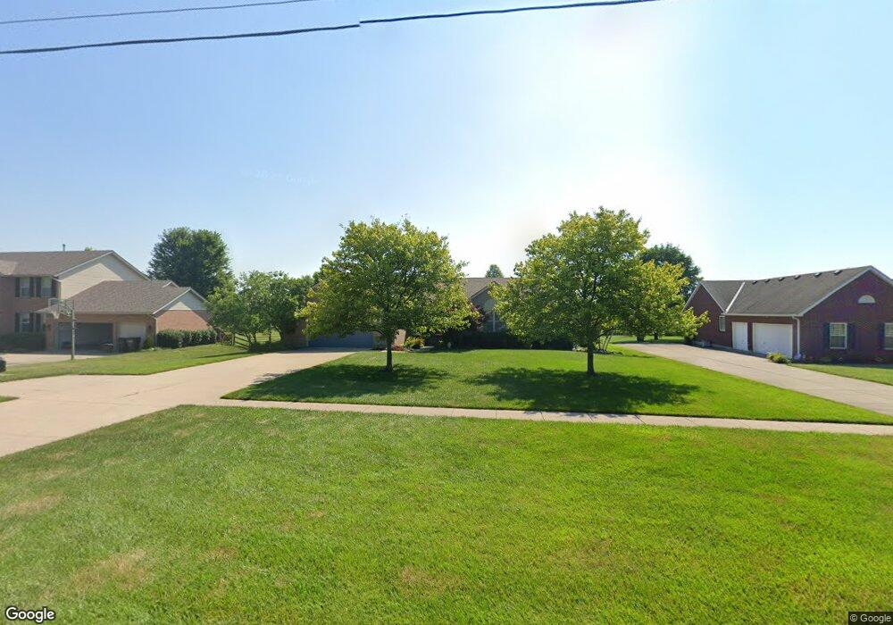
5866 Lesourdsville West Chester Rd Liberty Township, OH 45011
Estimated Value: $438,000 - $505,000
3
Beds
3
Baths
2,041
Sq Ft
$231/Sq Ft
Est. Value
About This Home
This home is located at 5866 Lesourdsville West Chester Rd, Liberty Township, OH 45011 and is currently estimated at $472,489, approximately $231 per square foot. 5866 Lesourdsville West Chester Rd is a home located in Butler County with nearby schools including VanGorden Elementary School, Liberty Junior School, and Lakota East High School.
Ownership History
Date
Name
Owned For
Owner Type
Purchase Details
Closed on
Nov 16, 2016
Sold by
Ballou Richard W
Bought by
Ballou Richard W and Ballou Connie E
Current Estimated Value
Purchase Details
Closed on
Apr 30, 2003
Sold by
Webber Randall Jay
Bought by
Ballou Richard W and Ballou Janice G
Home Financials for this Owner
Home Financials are based on the most recent Mortgage that was taken out on this home.
Original Mortgage
$132,000
Outstanding Balance
$57,662
Interest Rate
5.86%
Estimated Equity
$414,827
Create a Home Valuation Report for This Property
The Home Valuation Report is an in-depth analysis detailing your home's value as well as a comparison with similar homes in the area
Home Values in the Area
Average Home Value in this Area
Purchase History
| Date | Buyer | Sale Price | Title Company |
|---|---|---|---|
| Ballou Richard W | -- | None Available | |
| Ballou Richard W | $207,000 | -- |
Source: Public Records
Mortgage History
| Date | Status | Borrower | Loan Amount |
|---|---|---|---|
| Open | Ballou Richard W | $132,000 |
Source: Public Records
Tax History Compared to Growth
Tax History
| Year | Tax Paid | Tax Assessment Tax Assessment Total Assessment is a certain percentage of the fair market value that is determined by local assessors to be the total taxable value of land and additions on the property. | Land | Improvement |
|---|---|---|---|---|
| 2024 | $5,370 | $136,100 | $21,430 | $114,670 |
| 2023 | $5,239 | $137,940 | $21,430 | $116,510 |
| 2022 | $4,350 | $90,240 | $21,430 | $68,810 |
| 2021 | $1,993 | $90,240 | $21,430 | $68,810 |
| 2020 | $4,089 | $90,240 | $21,430 | $68,810 |
| 2019 | $7,647 | $79,380 | $23,050 | $56,330 |
| 2018 | $3,958 | $79,380 | $23,050 | $56,330 |
| 2017 | $4,021 | $79,380 | $23,050 | $56,330 |
| 2016 | $3,862 | $75,970 | $23,050 | $52,920 |
| 2015 | $3,876 | $75,970 | $23,050 | $52,920 |
| 2014 | $3,453 | $75,970 | $23,050 | $52,920 |
| 2013 | $3,453 | $66,620 | $20,670 | $45,950 |
Source: Public Records
Map
Nearby Homes
- 5238 Brougham Ln
- 6140 Winding Creek Blvd
- 5850 Millikin Rd
- 5627 Eagle Dance Dr
- 5276 Brougham Ln
- 5396 Brougham Ln
- 5609 Selu Dr
- 5145 Brougham Ln
- 5875 Tilbury Trail
- 5100 Brougham Ln
- 6189 Lesourdsville West Chester Rd
- 5618 Rachels View
- 5900 Carriage Meadows Dr
- 5109 Mason Point
- 5825 Carriage Meadows Dr
- Sanibel Plan at Carriage Meadows
- Carlisle Plan at Carriage Meadows
- Chattanooga Plan at Carriage Meadows
- Rockford Plan at Carriage Meadows
- Miramar Plan at Carriage Meadows
- 5886 Lesourdsville West Chester Rd
- 5846 Lesourdsville West Chester Rd
- 5893 Franklin Trail
- 5903 Franklin Trail
- 5883 Franklin Trail
- 5567 Hamilton Trail
- 5557 Hamilton Trail
- 5913 Franklin Trail
- 5577 Hamilton Trail
- 5926 Lesourdsville West Chester Rd
- 5587 Hamilton Trail
- 5546 Hamilton Trail
- 5911 Lesourdsville West Chester Rd
- 5892 Franklin Trail
- 5933 Franklin Trail
- 5882 Franklin Trail
- 5902 Franklin Trail
- 5872 Franklin Trail
- 5912 Franklin Trail
- 5566 Hamilton Trail