589 Coles Meadow Rd Northampton, MA 01060
Florence NeighborhoodEstimated Value: $1,082,612 - $1,402,000
4
Beds
4
Baths
4,114
Sq Ft
$299/Sq Ft
Est. Value
About This Home
This home is located at 589 Coles Meadow Rd, Northampton, MA 01060 and is currently estimated at $1,229,903, approximately $298 per square foot. 589 Coles Meadow Rd is a home located in Hampshire County with nearby schools including Northampton High School and The Montessori School of Northampton.
Ownership History
Date
Name
Owned For
Owner Type
Purchase Details
Closed on
Apr 14, 2003
Sold by
Nikki B Llc
Bought by
Harrison Mark D and Denson Shara N
Current Estimated Value
Create a Home Valuation Report for This Property
The Home Valuation Report is an in-depth analysis detailing your home's value as well as a comparison with similar homes in the area
Home Values in the Area
Average Home Value in this Area
Purchase History
| Date | Buyer | Sale Price | Title Company |
|---|---|---|---|
| Harrison Mark D | $600,000 | -- |
Source: Public Records
Mortgage History
| Date | Status | Borrower | Loan Amount |
|---|---|---|---|
| Open | Harrison Mark D | $747,204 | |
| Closed | Harrison Mark D | $141,746 |
Source: Public Records
Tax History Compared to Growth
Tax History
| Year | Tax Paid | Tax Assessment Tax Assessment Total Assessment is a certain percentage of the fair market value that is determined by local assessors to be the total taxable value of land and additions on the property. | Land | Improvement |
|---|---|---|---|---|
| 2025 | $16,577 | $1,190,000 | $121,300 | $1,068,700 |
| 2024 | $15,977 | $1,051,800 | $116,300 | $935,500 |
| 2023 | $15,259 | $963,300 | $105,200 | $858,100 |
| 2022 | $15,695 | $877,300 | $99,200 | $778,100 |
| 2021 | $14,909 | $858,300 | $95,000 | $763,300 |
| 2020 | $13,726 | $817,000 | $95,000 | $722,000 |
| 2019 | $13,660 | $786,400 | $98,100 | $688,300 |
| 2018 | $12,966 | $760,900 | $98,100 | $662,800 |
| 2017 | $12,699 | $760,900 | $98,100 | $662,800 |
| 2016 | $12,296 | $760,900 | $98,100 | $662,800 |
| 2015 | $12,259 | $775,900 | $116,100 | $659,800 |
| 2014 | $11,941 | $775,900 | $116,100 | $659,800 |
Source: Public Records
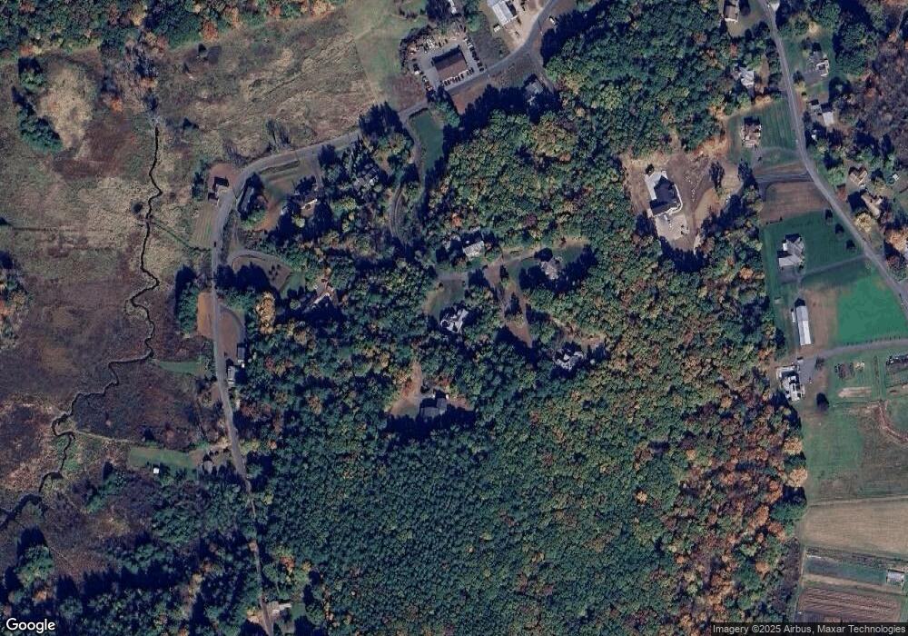
Map
Nearby Homes
- 2B Linseed Rd
- 43 Laurel Park Unit 43
- 66 Laurel Park Unit 66
- 121 West St
- 21 Dwight St
- 93 Laurel Park Unit 93
- 12 Dwight St
- 34 Gore Ave
- 0 Old Stage Rd Unit 73394977
- 32 Stonewall Dr
- 0 Pantry Rd Unit 73430264
- 45 N Farms Rd
- 37 N Farms Rd
- 18 Elm St
- 96 Rick Dr
- 0 Straits Rd
- 80 Damon Rd Unit 5104
- 76 Cooke Ave
- 147 Pantry Rd
- 151 Pantry Rd
- 595 Coles Meadow Rd
- 555 Coles Meadow Rd
- 599 Coles Meadow Rd
- 591 Coles Meadow Rd
- 575 Coles Meadow Rd
- 587 Coles Meadow Rd
- 609 Coles Meadow Rd
- 565 Coles Meadow Rd
- 583 Coles Meadow Rd
- 545 Coles Meadow Rd
- 8 Linseed Hill Rd
- 604 Coles Meadow Rd
- 540 Coles Meadow Rd
- 4 Linseed Hills Rd
- 501 Coles Meadow Rd
- 21 Linseed Rd
- 45 Linseed Rd
- 7 Linseed Hill Rd
- 51 Linseed Rd
- 15 Linseed Rd