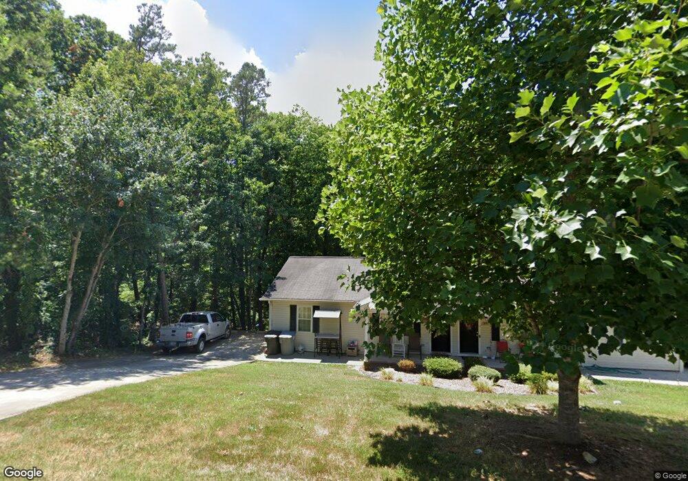
589 Lincoln Ave Asheboro, NC 27205
Estimated Value: $142,000 - $251,000
--
Bed
2
Baths
1,708
Sq Ft
$118/Sq Ft
Est. Value
About This Home
This home is located at 589 Lincoln Ave, Asheboro, NC 27205 and is currently estimated at $201,978, approximately $118 per square foot. 589 Lincoln Ave is a home located in Randolph County with nearby schools including Charles W. McCrary Elementary School, North Asheboro Middle School, and Asheboro High School.
Ownership History
Date
Name
Owned For
Owner Type
Purchase Details
Closed on
Feb 14, 2008
Sold by
Coltrane Crandel and Coltrane Jessica C
Bought by
Baybuilt Properties Llc
Current Estimated Value
Purchase Details
Closed on
Apr 20, 2004
Sold by
Brim & Craven Developers
Bought by
Brim & Craven Llc
Purchase Details
Closed on
May 16, 2003
Bought by
Baybuilt Properties Llc
Purchase Details
Closed on
Oct 20, 1998
Bought by
Baybuilt Properties Llc
Create a Home Valuation Report for This Property
The Home Valuation Report is an in-depth analysis detailing your home's value as well as a comparison with similar homes in the area
Home Values in the Area
Average Home Value in this Area
Purchase History
| Date | Buyer | Sale Price | Title Company |
|---|---|---|---|
| Baybuilt Properties Llc | $99,400 | None Available | |
| Brim & Craven Llc | -- | Chicago Title Insurance Comp | |
| Baybuilt Properties Llc | $91,500 | -- | |
| Baybuilt Properties Llc | $83,000 | -- |
Source: Public Records
Tax History Compared to Growth
Tax History
| Year | Tax Paid | Tax Assessment Tax Assessment Total Assessment is a certain percentage of the fair market value that is determined by local assessors to be the total taxable value of land and additions on the property. | Land | Improvement |
|---|---|---|---|---|
| 2025 | $2,028 | $149,050 | $26,290 | $122,760 |
| 2024 | $2,028 | $149,050 | $26,290 | $122,760 |
| 2023 | $2,028 | $149,050 | $26,290 | $122,760 |
| 2022 | $1,498 | $103,930 | $19,530 | $84,400 |
| 2021 | $1,498 | $103,930 | $19,530 | $84,400 |
| 2020 | $1,498 | $103,930 | $19,530 | $84,400 |
| 2019 | $1,498 | $103,930 | $19,530 | $84,400 |
| 2018 | $1,421 | $96,830 | $18,130 | $78,700 |
| 2016 | $1,421 | $96,831 | $18,130 | $78,701 |
| 2015 | $1,423 | $96,831 | $18,130 | $78,701 |
| 2014 | -- | $96,831 | $18,130 | $78,701 |
Source: Public Records
Map
Nearby Homes
- 627 Oakmont Dr
- 866 Mountain Rd
- 1110 Park Dr
- 435 Peachtree St
- 0 Highwood Dr
- 0000 Little Gate Dr
- 923 Arnold St
- 516 and 518 Peachtree St
- TBD Oakland Ave
- 1011 Westmont Dr
- 1582 Westmont Dr
- 1407 Oakland Ave
- 1263 Winslow Ave Unit A, B & C
- 1025 Neely Dr
- 1142 Westover Terrace
- 830 Sunset Ave
- 330 W Presnell St Unit 37
- 0 Amity Rd
- 330 13 W Presnell St
- 135 West St
- 603 Lincoln Ave
- 590 Lincoln Ave
- 611 Lincoln Ave
- 580 Lincoln Ave
- 602 Lincoln Ave
- 572 Lincoln Ave
- 608 Lincoln Ave
- 564 Lincoln Ave
- 617 Lincoln Ave
- 557 Lincoln Ave
- 1114 Springdale Ln
- 614 Lincoln Ave
- 558 Lincoln Ave
- 541 N Mccrary St
- 555 Lincoln Ave
- 620 Lincoln Ave
- 561 N Mccrary St
- 625 Lincoln Ave
- 548 Lincoln Ave
- 515 N Mccrary St