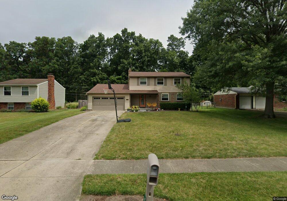
5897 Whippoorwill Hollow Dr Milford, OH 45150
Estimated Value: $353,000 - $387,000
4
Beds
4
Baths
1,992
Sq Ft
$184/Sq Ft
Est. Value
About This Home
This home is located at 5897 Whippoorwill Hollow Dr, Milford, OH 45150 and is currently estimated at $366,330, approximately $183 per square foot. 5897 Whippoorwill Hollow Dr is a home located in Clermont County with nearby schools including Milford Senior High School, St. Andrew - St. Elizabeth Ann Seton School, and St. Mark's Lutheran School.
Ownership History
Date
Name
Owned For
Owner Type
Purchase Details
Closed on
Aug 24, 2007
Sold by
Hornsby Robert E and Hornsby Dawn
Bought by
Burch Sally R and Burch Adam T
Current Estimated Value
Home Financials for this Owner
Home Financials are based on the most recent Mortgage that was taken out on this home.
Original Mortgage
$161,405
Outstanding Balance
$102,871
Interest Rate
6.79%
Mortgage Type
Purchase Money Mortgage
Estimated Equity
$263,460
Purchase Details
Closed on
Dec 5, 2001
Sold by
Roark James J
Bought by
Hornsby Robert E and Hornsby Dawn
Home Financials for this Owner
Home Financials are based on the most recent Mortgage that was taken out on this home.
Original Mortgage
$109,600
Interest Rate
6.68%
Mortgage Type
New Conventional
Create a Home Valuation Report for This Property
The Home Valuation Report is an in-depth analysis detailing your home's value as well as a comparison with similar homes in the area
Home Values in the Area
Average Home Value in this Area
Purchase History
| Date | Buyer | Sale Price | Title Company |
|---|---|---|---|
| Burch Sally R | $169,900 | Attorney | |
| Hornsby Robert E | $137,000 | -- |
Source: Public Records
Mortgage History
| Date | Status | Borrower | Loan Amount |
|---|---|---|---|
| Open | Burch Sally R | $161,405 | |
| Previous Owner | Hornsby Robert E | $109,600 |
Source: Public Records
Tax History Compared to Growth
Tax History
| Year | Tax Paid | Tax Assessment Tax Assessment Total Assessment is a certain percentage of the fair market value that is determined by local assessors to be the total taxable value of land and additions on the property. | Land | Improvement |
|---|---|---|---|---|
| 2024 | $4,569 | $100,280 | $15,300 | $84,980 |
| 2023 | $4,616 | $100,280 | $15,300 | $84,980 |
| 2022 | $4,302 | $71,160 | $10,850 | $60,310 |
| 2021 | $4,307 | $71,160 | $10,850 | $60,310 |
| 2020 | $4,128 | $71,160 | $10,850 | $60,310 |
| 2019 | $3,673 | $60,100 | $10,080 | $50,020 |
| 2018 | $3,674 | $60,100 | $10,080 | $50,020 |
| 2017 | $3,512 | $60,100 | $10,080 | $50,020 |
| 2016 | $3,512 | $52,260 | $8,750 | $43,510 |
| 2015 | $3,423 | $52,260 | $8,750 | $43,510 |
| 2014 | $3,276 | $52,260 | $8,750 | $43,510 |
| 2013 | $2,683 | $41,510 | $10,500 | $31,010 |
Source: Public Records
Map
Nearby Homes
- 1382 Lela Ln
- 6049 Delfair Ln
- 1485 Foxtale Ct
- 6034 Delfair Ln
- .6438 ac Buckwheat Rd
- .0288 ac Buckwheat Rd
- 5852 Monassas Run Rd
- 5975 Buckwheat Rd
- 5614 Water Mills Dr
- 5818 Jeb Stuart Dr
- 5613 Water Mills Dr
- 5065 Cross Creek Ln
- 5942 Pinto Place
- 1289 Woodville Pike
- 1201 Sorrel Ln
- 5811 Monassas Run Dr
- 1399 Wade Rd
- 1285 State Rte 28
- 5778 Tall Oaks Dr
- 1290 Michael Ln
- 5899 Whippoorwill Hollow Dr
- 5895 Whippoorwill Hollow Dr
- 5893 Whippoorwill Hollow Dr
- 5901 Whippoorwill Hollow Dr
- 5898 Whippoorwill Hollow Dr
- 5896 Whippoorwill Hollow Dr
- 5894 Whippoorwill Hollow Dr
- 5891 Whippoorwill Hollow Dr
- 5903 Whippoorwill Hollow Dr
- 5892 Whippoorwill Hollow Dr
- 5884 Whippoorwill Hollow Dr
- 5902 Whippoorwill Hollow Dr
- 5889 Whippoorwill Hollow Dr
- 5905 Whippoorwill Hollow Dr
- 5907 Whippoorwill Hollow Dr
- 5904 Whippoorwill Hollow Dr
- 5878 Whippoorwill Hollow Dr
- 1354 Cottonwood Dr
- 1352 Cottonwood Dr
- 1356 Cottonwood Dr