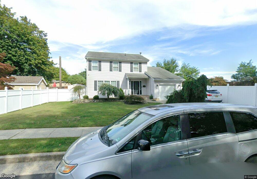
59 Briar Ave Edison, NJ 08817
Estimated Value: $570,000 - $797,000
--
Bed
--
Bath
1,844
Sq Ft
$354/Sq Ft
Est. Value
About This Home
This home is located at 59 Briar Ave, Edison, NJ 08817 and is currently estimated at $652,740, approximately $353 per square foot. 59 Briar Ave is a home located in Middlesex County with nearby schools including Benjamin Franklin Elementary School, Herbert Hoover Middle School, and Edison High School.
Ownership History
Date
Name
Owned For
Owner Type
Purchase Details
Closed on
Apr 2, 1997
Sold by
Quinones Samuel
Bought by
Richichi Patrick and Richichi Colleen
Current Estimated Value
Home Financials for this Owner
Home Financials are based on the most recent Mortgage that was taken out on this home.
Original Mortgage
$135,000
Outstanding Balance
$17,271
Interest Rate
7.77%
Estimated Equity
$635,469
Create a Home Valuation Report for This Property
The Home Valuation Report is an in-depth analysis detailing your home's value as well as a comparison with similar homes in the area
Home Values in the Area
Average Home Value in this Area
Purchase History
| Date | Buyer | Sale Price | Title Company |
|---|---|---|---|
| Richichi Patrick | $175,000 | -- |
Source: Public Records
Mortgage History
| Date | Status | Borrower | Loan Amount |
|---|---|---|---|
| Open | Richichi Patrick | $135,000 |
Source: Public Records
Tax History Compared to Growth
Tax History
| Year | Tax Paid | Tax Assessment Tax Assessment Total Assessment is a certain percentage of the fair market value that is determined by local assessors to be the total taxable value of land and additions on the property. | Land | Improvement |
|---|---|---|---|---|
| 2025 | $13,347 | $231,200 | $115,500 | $115,700 |
| 2024 | $13,275 | $224,200 | $115,500 | $108,700 |
| 2023 | $13,275 | $224,200 | $115,500 | $108,700 |
| 2022 | $13,279 | $224,200 | $115,500 | $108,700 |
| 2021 | $13,235 | $224,200 | $115,500 | $108,700 |
| 2020 | $13,113 | $224,200 | $115,500 | $108,700 |
| 2019 | $12,376 | $224,200 | $115,500 | $108,700 |
| 2018 | $12,159 | $224,200 | $115,500 | $108,700 |
| 2017 | $12,047 | $224,200 | $115,500 | $108,700 |
| 2016 | $11,829 | $224,200 | $115,500 | $108,700 |
| 2015 | $11,376 | $224,200 | $115,500 | $108,700 |
| 2014 | $11,044 | $224,200 | $115,500 | $108,700 |
Source: Public Records
Map
Nearby Homes
- 22 Trenton Ave
- 2505 Woodbridge Ave Unit 26L
- 2505 Woodbridge Ave Unit 19L
- 2505 Woodbridge Ave Unit 9 L
- 2505 Woodbridge Ave Unit 32 M
- 106 College Dr
- 185 College Dr
- 203 College Dr
- 491 College Dr Unit 491
- 486 College Dr
- 76 College Dr
- 190 College Dr
- 14 College Dr
- 15 College Dr Unit 15
- 37 Gurley Rd
- 11 Marie Ln
- 189 Old Post Rd
- 12 Old Post Rd
- 117 Old Post Rd
- 16 Chapel St
- 108 Overbrook Ave
- 104 Overbrook Ave
- 110 Overbrook Ave
- 58 Briar Ave
- 114 Overbrook Ave
- 96 Overbrook Ave
- 120 Overbrook Ave
- 66 Briar Ave
- 16 Norwood Place
- 90 Overbrook Ave
- 101 Overbrook Ave
- 67 Briar Ave
- 97 Overbrook Ave
- 93 Overbrook Ave
- 68 Briar Ave
- 89 Overbrook Ave
- 35 Norwood Place
- 84 Overbrook Ave
- 31 Norwood Place
- 30 Norwood Place