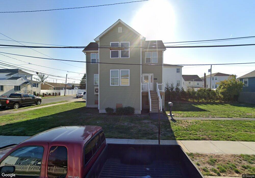
59 Hastings Rd Island Park, NY 11558
Estimated Value: $699,353 - $729,000
--
Bed
2
Baths
1,388
Sq Ft
$515/Sq Ft
Est. Value
About This Home
This home is located at 59 Hastings Rd, Island Park, NY 11558 and is currently estimated at $714,177, approximately $514 per square foot. 59 Hastings Rd is a home located in Nassau County with nearby schools including Francis X Hegarty Elementary School, Lincoln Orens Middle School, and Long Beach Catholic Regional School.
Ownership History
Date
Name
Owned For
Owner Type
Purchase Details
Closed on
Nov 10, 2020
Sold by
Long Island Prtnrshp Clt Hsng Dev Fund C
Bought by
Mcbride Ayana M
Current Estimated Value
Home Financials for this Owner
Home Financials are based on the most recent Mortgage that was taken out on this home.
Original Mortgage
$20,000
Interest Rate
2.8%
Mortgage Type
Second Mortgage Made To Cover Down Payment
Purchase Details
Closed on
Jul 19, 2016
Sold by
Housing Trust Fund Corp
Bought by
Nassau/Suffolk Partnership Housing Devel
Purchase Details
Closed on
Mar 8, 2013
Sold by
Hartman Joseph
Bought by
59 Lp Llc
Purchase Details
Closed on
Feb 6, 1998
Sold by
Guido Joseph and Guido Mrie
Bought by
Hartman Joseph
Create a Home Valuation Report for This Property
The Home Valuation Report is an in-depth analysis detailing your home's value as well as a comparison with similar homes in the area
Home Values in the Area
Average Home Value in this Area
Purchase History
| Date | Buyer | Sale Price | Title Company |
|---|---|---|---|
| Mcbride Ayana M | $430,660 | Stewart Title | |
| Long Island Prtnrshp Clt Hsng Dev Fund C | -- | None Available | |
| Nassau/Suffolk Partnership Housing Devel | -- | Stewart Title Insurance Comp | |
| 59 Lp Llc | -- | -- | |
| Hartman Joseph | $140,000 | -- |
Source: Public Records
Mortgage History
| Date | Status | Borrower | Loan Amount |
|---|---|---|---|
| Previous Owner | Long Island Prtnrshp Clt Hsng Dev Fund C | $20,000 | |
| Previous Owner | Mcbride Ayana M | $223,546 |
Source: Public Records
Tax History Compared to Growth
Tax History
| Year | Tax Paid | Tax Assessment Tax Assessment Total Assessment is a certain percentage of the fair market value that is determined by local assessors to be the total taxable value of land and additions on the property. | Land | Improvement |
|---|---|---|---|---|
| 2025 | $6,746 | $486 | $226 | $260 |
| 2024 | $1,212 | $486 | $226 | $260 |
| 2023 | $5,096 | $486 | $226 | $260 |
| 2022 | $5,096 | $461 | $226 | $235 |
| 2021 | $5,444 | $177 | $177 | $0 |
| 2020 | $4,232 | $569 | $453 | $116 |
| 2019 | $1,419 | $569 | $453 | $116 |
| 2018 | $4,080 | $569 | $0 | $0 |
| 2017 | $0 | $569 | $453 | $116 |
| 2016 | $1,350 | $569 | $408 | $161 |
| 2015 | $1,346 | $601 | $431 | $170 |
| 2014 | $1,346 | $601 | $431 | $170 |
| 2013 | $1,317 | $632 | $453 | $179 |
Source: Public Records
Map
Nearby Homes
- 185 Quebec Rd
- 38 Kent Rd
- 31 Kent Rd Unit New Construction!!
- 19 Parma Rd
- 7 Sherborne Place
- 12 Pershing Place
- 41 Ostend Rd
- 9 Hamilton Ave
- 100 Baker Ct Unit 63
- 100 Baker Ct Unit 50
- 100 Baker Ct Unit 15
- 100 Baker Ct Unit 128
- 100 Baker Ct Unit 36
- 100- 18 Baker Ct
- 33 Newport Rd
- 41 Newport Rd
- 163 Vanderbilt Ave
- 104 Ostend Rd
- 175 Hamilton Ave
- 68 Lincoln Ave
- 59 Hastings Rd Unit 2
- 130 Radcliffe Rd
- 55 Hastings Rd
- 0 Radcliffe Rd Unit 3213558
- 0 Radcliffe Rd Unit P1322958
- 0 Radcliffe Rd Unit 3053319
- 140 Radcliffe Rd
- 126 Radcliffe Rd
- 126 Radcliffe Rd Unit 2
- 126 Radcliffe Rd Unit Main F
- 126 Radcliffe Rd Unit Upper
- 56 Hastings Rd
- 51 Hastings Rd
- 51 Hastings Rd Unit Upper
- 66 Warwick Rd
- 142 Radcliffe Rd
- 122 Radcliffe Rd
- 122 Radcliffe Rd Unit Upper
- 131 Radcliffe Rd
- 64 Warwick Rd