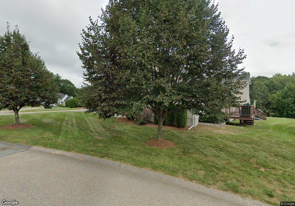
59 Hillview Ln Whitinsville, MA 01588
Estimated Value: $481,000 - $520,000
2
Beds
2
Baths
1,462
Sq Ft
$339/Sq Ft
Est. Value
About This Home
This home is located at 59 Hillview Ln, Whitinsville, MA 01588 and is currently estimated at $495,405, approximately $338 per square foot. 59 Hillview Ln is a home located in Worcester County with nearby schools including Northbridge Elementary School, Northbridge Middle School, and Northbridge High School.
Ownership History
Date
Name
Owned For
Owner Type
Purchase Details
Closed on
Jan 13, 2017
Sold by
Spratt Charles F and Spratt Jerilyn
Bought by
Spratt Michael D and Lawrence Carolyn J
Current Estimated Value
Purchase Details
Closed on
Jun 29, 2016
Sold by
Gallant Raymond H and Gallant Margaret A
Bought by
Spratt Charles F and Spratt Jerilyn
Purchase Details
Closed on
Dec 20, 2004
Sold by
J & F Marinella Dev Corp
Bought by
Gallant Margaret A and Gallant Raymond H
Home Financials for this Owner
Home Financials are based on the most recent Mortgage that was taken out on this home.
Original Mortgage
$259,500
Interest Rate
5.68%
Mortgage Type
Purchase Money Mortgage
Create a Home Valuation Report for This Property
The Home Valuation Report is an in-depth analysis detailing your home's value as well as a comparison with similar homes in the area
Home Values in the Area
Average Home Value in this Area
Purchase History
| Date | Buyer | Sale Price | Title Company |
|---|---|---|---|
| Spratt Michael D | -- | -- | |
| Spratt Michael D | -- | -- | |
| Spratt Charles F | $290,000 | -- | |
| Spratt Charles F | $290,000 | -- | |
| Gallant Margaret A | $288,704 | -- | |
| Gallant Margaret A | $288,704 | -- |
Source: Public Records
Mortgage History
| Date | Status | Borrower | Loan Amount |
|---|---|---|---|
| Previous Owner | Gallant Margaret A | $259,500 |
Source: Public Records
Tax History Compared to Growth
Tax History
| Year | Tax Paid | Tax Assessment Tax Assessment Total Assessment is a certain percentage of the fair market value that is determined by local assessors to be the total taxable value of land and additions on the property. | Land | Improvement |
|---|---|---|---|---|
| 2025 | $5,268 | $446,800 | $0 | $446,800 |
| 2024 | $4,924 | $407,300 | $0 | $407,300 |
| 2023 | $4,791 | $369,700 | $0 | $369,700 |
| 2022 | $4,603 | $334,300 | $0 | $334,300 |
| 2021 | $4,498 | $310,400 | $0 | $310,400 |
| 2020 | $4,123 | $297,900 | $0 | $297,900 |
| 2019 | $3,702 | $285,400 | $0 | $285,400 |
| 2018 | $3,531 | $272,900 | $0 | $272,900 |
| 2017 | $3,591 | $265,400 | $0 | $265,400 |
| 2016 | $3,519 | $255,900 | $0 | $255,900 |
| 2015 | $3,198 | $239,000 | $0 | $239,000 |
| 2014 | $3,182 | $240,000 | $0 | $240,000 |
Source: Public Records
Map
Nearby Homes
- 90 Nathaniel Dr
- 894 Marston Rd
- 5 Summit St
- 21 Granite St
- 708 Marston Rd
- 121 East St Unit 121
- Lots 1-9 Spring St
- 18 East St Unit 24
- 33 Crestwood Cir Unit 45
- 140 Rolling Ridge Dr Unit 78
- 128 Linwood Ave
- 39 Crestwood Cir Unit 42
- 159 Rolling Ridge Dr Unit 85
- 169 Rolling Ridge Dr Unit 97
- 1 Elm St
- 192 Rebecca Rd
- 46 Rebecca Rd
- 1052 Providence Rd
- 9 Banning Dr
- 831 Providence Rd Unit 837