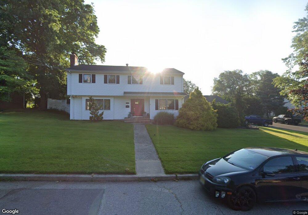
59 Merritt Ave South Amboy, NJ 08879
Estimated Value: $563,711 - $701,000
--
Bed
--
Bath
--
Sq Ft
0.27
Acres
About This Home
This home is located at 59 Merritt Ave, South Amboy, NJ 08879 and is currently estimated at $636,928. 59 Merritt Ave is a home located in Middlesex County with nearby schools including Sayreville War Memorial High School, St. Mary Elementary School, and New Road School of Parlin.
Ownership History
Date
Name
Owned For
Owner Type
Purchase Details
Closed on
Dec 20, 2001
Sold by
59 Merritt Avenue Llc
Bought by
Gallagher David and Gallagher Cynthia
Current Estimated Value
Home Financials for this Owner
Home Financials are based on the most recent Mortgage that was taken out on this home.
Original Mortgage
$185,000
Outstanding Balance
$74,807
Interest Rate
7.04%
Estimated Equity
$562,121
Purchase Details
Closed on
Apr 15, 1998
Sold by
Check Dorothy
Bought by
Small Jerry
Home Financials for this Owner
Home Financials are based on the most recent Mortgage that was taken out on this home.
Original Mortgage
$110,000
Interest Rate
7.05%
Create a Home Valuation Report for This Property
The Home Valuation Report is an in-depth analysis detailing your home's value as well as a comparison with similar homes in the area
Home Values in the Area
Average Home Value in this Area
Purchase History
| Date | Buyer | Sale Price | Title Company |
|---|---|---|---|
| Gallagher David | $285,000 | -- | |
| Small Jerry | $228,000 | -- |
Source: Public Records
Mortgage History
| Date | Status | Borrower | Loan Amount |
|---|---|---|---|
| Open | Gallagher David | $185,000 | |
| Previous Owner | Small Jerry | $110,000 |
Source: Public Records
Tax History Compared to Growth
Tax History
| Year | Tax Paid | Tax Assessment Tax Assessment Total Assessment is a certain percentage of the fair market value that is determined by local assessors to be the total taxable value of land and additions on the property. | Land | Improvement |
|---|---|---|---|---|
| 2025 | $12,363 | $202,500 | $55,900 | $146,600 |
| 2024 | $12,020 | $202,500 | $55,900 | $146,600 |
| 2023 | $12,020 | $202,500 | $55,900 | $146,600 |
| 2022 | $11,229 | $202,500 | $55,900 | $146,600 |
| 2021 | $11,105 | $202,500 | $55,900 | $146,600 |
| 2020 | $10,824 | $202,500 | $55,900 | $146,600 |
| 2019 | $10,597 | $202,500 | $55,900 | $146,600 |
| 2018 | $10,406 | $202,500 | $55,900 | $146,600 |
| 2017 | $10,166 | $202,500 | $55,900 | $146,600 |
| 2016 | $9,894 | $202,500 | $55,900 | $146,600 |
| 2015 | $9,669 | $202,500 | $55,900 | $146,600 |
| 2014 | $9,410 | $202,500 | $55,900 | $146,600 |
Source: Public Records
Map
Nearby Homes
- 10 Martha Blvd
- 741 Bordentown Ave
- 380 Prospect St
- 320 Parker Ave
- 15 Bertram Ave
- 305 Sunshine Ct
- 503 Woodland Ave
- 894 Upper Main St
- 433 Gordon St
- 528 Catherine St
- 523 Lefferts St
- 161 Manor St
- 7 Kenneth Ave
- 442 Bordentown Ave
- 32 Fielek Terrace
- 1200 Ernston Rd
- 1511 Pebble Place
- 21 Luke St
- 158 Liberty St St
- 158 Liberty St