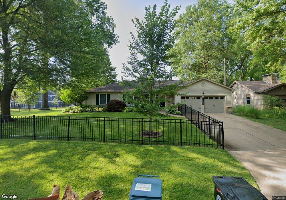
590 Drury Ln Saint Louis, MO 63122
Estimated Value: $375,000 - $461,000
3
Beds
2
Baths
1,557
Sq Ft
$268/Sq Ft
Est. Value
About This Home
This home is located at 590 Drury Ln, Saint Louis, MO 63122 and is currently estimated at $417,270, approximately $267 per square foot. 590 Drury Ln is a home located in St. Louis County with nearby schools including F.P. Tillman Elementary School, Nipher Middle School, and Kirkwood Senior High School.
Ownership History
Date
Name
Owned For
Owner Type
Purchase Details
Closed on
Aug 27, 2010
Sold by
Roever Dee Anne
Bought by
Lancaster Ryan P and Lancaster Stephanie N
Current Estimated Value
Home Financials for this Owner
Home Financials are based on the most recent Mortgage that was taken out on this home.
Original Mortgage
$168,712
Outstanding Balance
$111,309
Interest Rate
4.5%
Mortgage Type
FHA
Estimated Equity
$305,961
Create a Home Valuation Report for This Property
The Home Valuation Report is an in-depth analysis detailing your home's value as well as a comparison with similar homes in the area
Home Values in the Area
Average Home Value in this Area
Purchase History
| Date | Buyer | Sale Price | Title Company |
|---|---|---|---|
| Lancaster Ryan P | $175,000 | U S Title |
Source: Public Records
Mortgage History
| Date | Status | Borrower | Loan Amount |
|---|---|---|---|
| Open | Lancaster Ryan P | $168,712 |
Source: Public Records
Tax History Compared to Growth
Tax History
| Year | Tax Paid | Tax Assessment Tax Assessment Total Assessment is a certain percentage of the fair market value that is determined by local assessors to be the total taxable value of land and additions on the property. | Land | Improvement |
|---|---|---|---|---|
| 2025 | $4,178 | $70,200 | $50,900 | $19,300 |
| 2024 | $4,178 | $66,450 | $42,410 | $24,040 |
| 2023 | $4,112 | $66,450 | $42,410 | $24,040 |
| 2022 | $3,906 | $58,880 | $39,250 | $19,630 |
| 2021 | $3,856 | $58,880 | $39,250 | $19,630 |
| 2020 | $4,093 | $60,130 | $39,250 | $20,880 |
| 2019 | $4,093 | $60,130 | $39,250 | $20,880 |
| 2018 | $4,026 | $52,230 | $30,530 | $21,700 |
| 2017 | $4,021 | $52,230 | $30,530 | $21,700 |
| 2016 | $2,981 | $38,930 | $23,770 | $15,160 |
| 2015 | $2,978 | $38,930 | $23,770 | $15,160 |
| 2014 | $2,672 | $34,140 | $12,140 | $22,000 |
Source: Public Records
Map
Nearby Homes
- 551 Brookhaven Ct
- 641 Brookhaven Ct
- 754 Brownell Ave
- 830 Victoria Place
- 826 Chelsea Ave
- 1 Dickson Ct
- 858 Chelsea Ave
- 1030 Sylvan Place
- 1306 Glendale Gardens Dr Unit B
- 1306 Glendale Gardens Dr Unit C
- 1095 N Sappington Rd
- 832 Fuhrmann Terrace
- 931 Brownell Ave
- 807 E Essex Ave
- 438 N Sappington Rd Unit B
- 436 N Sappington Rd Unit C
- 125 Swan Ave
- 1025 Glenmoor Ln
- 946 Dwyer Ave
- 987 Dwyer Ave
- 869 Dickson St
- 589 Drury Ln
- 867 Dickson St
- 574 Drury Ln
- 870 Dickson St
- 527 Dury
- 581 Drury Ln
- 868 Dickson St
- 535 Greenridge Manor Ln
- 889 Dickson St
- 566 Drury Ln
- 527 Greenridge Manor Ln
- 602 Belson Ct
- 601 Belson Ct
- 890 Dickson St
- 863 Dickson St
- 611 Chelsea Ave
- 543 Greenridge Manor Ln
- 565 Drury Ln
- 558 Drury Ln