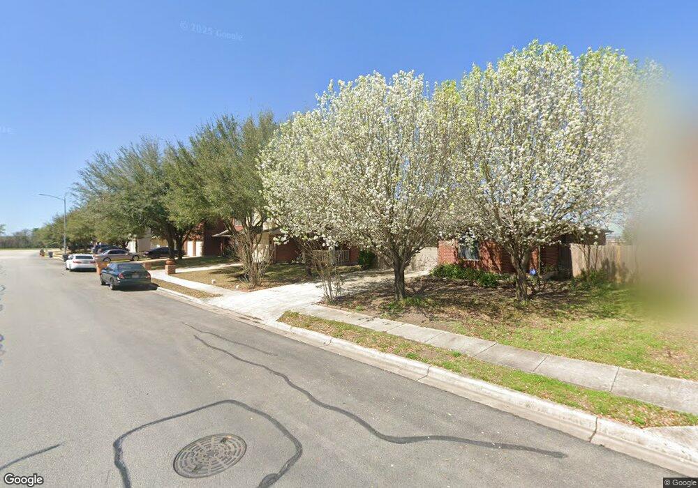
5900 Speyside Dr Manor, TX 78653
Harris Branch NeighborhoodEstimated Value: $339,237 - $392,000
--
Bed
3
Baths
2,112
Sq Ft
$170/Sq Ft
Est. Value
About This Home
This home is located at 5900 Speyside Dr, Manor, TX 78653 and is currently estimated at $359,809, approximately $170 per square foot. 5900 Speyside Dr is a home located in Travis County with nearby schools including Bluebonnet Trail Elementary School, Decker Middle School, and Manor New Technology High School.
Ownership History
Date
Name
Owned For
Owner Type
Purchase Details
Closed on
Feb 4, 2002
Sold by
Centex Homes
Bought by
Smith Orrin E and Smith Rhonda Y
Current Estimated Value
Home Financials for this Owner
Home Financials are based on the most recent Mortgage that was taken out on this home.
Original Mortgage
$150,636
Outstanding Balance
$62,682
Interest Rate
7.15%
Mortgage Type
FHA
Estimated Equity
$297,127
Create a Home Valuation Report for This Property
The Home Valuation Report is an in-depth analysis detailing your home's value as well as a comparison with similar homes in the area
Home Values in the Area
Average Home Value in this Area
Purchase History
| Date | Buyer | Sale Price | Title Company |
|---|---|---|---|
| Smith Orrin E | -- | Commerce Land Title |
Source: Public Records
Mortgage History
| Date | Status | Borrower | Loan Amount |
|---|---|---|---|
| Open | Smith Orrin E | $150,636 |
Source: Public Records
Tax History Compared to Growth
Tax History
| Year | Tax Paid | Tax Assessment Tax Assessment Total Assessment is a certain percentage of the fair market value that is determined by local assessors to be the total taxable value of land and additions on the property. | Land | Improvement |
|---|---|---|---|---|
| 2025 | $7,695 | $356,573 | $70,000 | $286,573 |
| 2023 | $7,609 | $373,765 | $70,000 | $303,765 |
| 2022 | $10,005 | $429,356 | $70,000 | $359,356 |
| 2021 | $6,876 | $278,739 | $30,000 | $248,739 |
| 2020 | $6,024 | $241,645 | $30,000 | $211,645 |
| 2018 | $5,782 | $227,903 | $30,000 | $197,903 |
| 2017 | $5,465 | $214,046 | $30,000 | $184,046 |
| 2016 | $4,942 | $193,546 | $30,000 | $163,546 |
| 2015 | $4,080 | $165,778 | $30,000 | $135,778 |
| 2014 | $4,080 | $152,647 | $30,000 | $122,647 |
Source: Public Records
Map
Nearby Homes
- 12205 Kilmartin Ln
- 5601 Malcom Trail
- 12004 Gaelic Dr
- 5520 Adair Dr
- 5644 Brougham Way
- 11932 Gaelic Dr
- 5608 Brougham Way
- 11853 Gaelic Dr
- 7117 Cromarty Cove
- 11904 Arran St
- 11711 Rydalwater Ln
- 11729 Arran St
- 11704 Gaelic Dr
- 11724 Dunfries Ln
- 6700 Tulloch Way
- 11609 Loweswater Ln
- 11604 Loweswater Ln
- 11712 Dunfries Ln
- 6709 Cromarty Ln
- 11825 Monterosso Dr
- 5820 Speyside Dr
- 5904 Speyside Dr
- 5825 Speyside Dr
- 5816 Speyside Dr
- 5908 Speyside Dr
- 5812 Speyside Dr
- 5912 Speyside Dr
- 5901 Speyside Dr
- 5825 Speyside Dr
- 5901 Speyside Dr
- 5821 Speyside Dr
- 5821 Speyside Dr
- 5805 Speyside Dr
- 5808 Speyside Dr
- 12316 Kelton Dr
- 5809 Speyside Dr
- 12316 Kelton Dr
- 5916 Speyside Dr
- 5817 Speyside Dr
- 12312 Kelton Dr