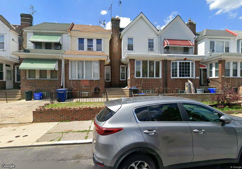
5908 Reach St Philadelphia, PA 19120
Lawncrest NeighborhoodEstimated Value: $187,000 - $242,000
3
Beds
1
Bath
1,266
Sq Ft
$167/Sq Ft
Est. Value
About This Home
This home is located at 5908 Reach St, Philadelphia, PA 19120 and is currently estimated at $211,852, approximately $167 per square foot. 5908 Reach St is a home located in Philadelphia County with nearby schools including Benjamin Franklin Elementary School, Samuel Fels High School, and Mast Community Charter Ii.
Ownership History
Date
Name
Owned For
Owner Type
Purchase Details
Closed on
Apr 30, 2008
Sold by
Moody Michael John and Moody Kathryn
Bought by
Gordon Cyra C and Gordon William E
Current Estimated Value
Home Financials for this Owner
Home Financials are based on the most recent Mortgage that was taken out on this home.
Original Mortgage
$102,192
Outstanding Balance
$65,089
Interest Rate
5.99%
Mortgage Type
Purchase Money Mortgage
Estimated Equity
$146,763
Create a Home Valuation Report for This Property
The Home Valuation Report is an in-depth analysis detailing your home's value as well as a comparison with similar homes in the area
Home Values in the Area
Average Home Value in this Area
Purchase History
| Date | Buyer | Sale Price | Title Company |
|---|---|---|---|
| Gordon Cyra C | $103,000 | None Available |
Source: Public Records
Mortgage History
| Date | Status | Borrower | Loan Amount |
|---|---|---|---|
| Open | Gordon Cyra C | $102,192 |
Source: Public Records
Tax History Compared to Growth
Tax History
| Year | Tax Paid | Tax Assessment Tax Assessment Total Assessment is a certain percentage of the fair market value that is determined by local assessors to be the total taxable value of land and additions on the property. | Land | Improvement |
|---|---|---|---|---|
| 2025 | $2,079 | $179,100 | $35,820 | $143,280 |
| 2024 | $2,079 | $179,100 | $35,820 | $143,280 |
| 2023 | $2,079 | $148,500 | $29,700 | $118,800 |
| 2022 | $873 | $103,500 | $29,700 | $73,800 |
| 2021 | $1,503 | $0 | $0 | $0 |
| 2020 | $1,503 | $0 | $0 | $0 |
| 2019 | $1,443 | $0 | $0 | $0 |
| 2018 | $1,366 | $0 | $0 | $0 |
| 2017 | $1,366 | $0 | $0 | $0 |
| 2016 | $946 | $0 | $0 | $0 |
| 2015 | $906 | $0 | $0 | $0 |
| 2014 | -- | $97,600 | $15,345 | $82,255 |
| 2012 | -- | $14,144 | $1,814 | $12,330 |
Source: Public Records
Map
Nearby Homes
- 344 Van Kirk St
- 307 E Cheltenham Ave
- 5815 Newtown Ave
- 441 Van Kirk St
- 6046 Hasbrook Ave
- 252 Benner St
- 407 E Sanger St Unit 9
- 223 Stearly St
- 330-32 Sanger St
- 209 Stearly St
- 517 E Cheltenham Ave
- 414-16 Sanger St
- 6143 Reach St
- 6162 Hasbrook Ave
- 318 Devereaux Ave
- 354 Devereaux Ave
- 5939 Malta St
- 5943 Malta St
- 561 E Cheltenham Ave
- 5934 Palmetto St
- 5906 Reach St
- 5910 Reach St
- 5904 Reach St
- 5912 Reach St
- 5902 Reach St
- 5914 Reach St
- 5900 Reach St
- 5916 Reach St
- 5909 Weymouth St
- 5907 Weymouth St
- 5911 Weymouth St
- 5905 Weymouth St
- 5918 Reach St
- 5913 Weymouth St
- 5903 Weymouth St
- 5915 Weymouth St
- 5920 Reach St
- 331 Van Kirk St
- 5917 Weymouth St
- 5922 Reach St