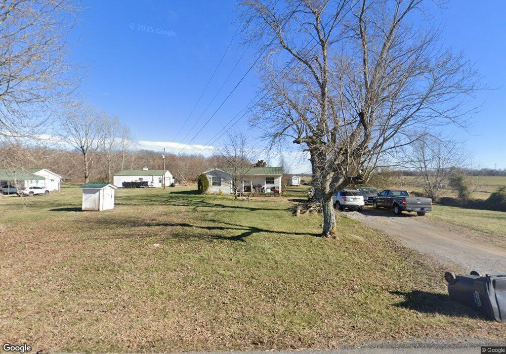
5911 Payne Rd Portland, TN 37148
Estimated Value: $175,644 - $296,000
--
Bed
1
Bath
1,214
Sq Ft
$211/Sq Ft
Est. Value
About This Home
This home is located at 5911 Payne Rd, Portland, TN 37148 and is currently estimated at $255,661, approximately $210 per square foot. 5911 Payne Rd is a home located in Robertson County with nearby schools including East Robertson Elementary School and East Robertson High School.
Ownership History
Date
Name
Owned For
Owner Type
Purchase Details
Closed on
Sep 13, 2013
Sold by
Stone Diane A
Bought by
Stone Christopher R
Current Estimated Value
Purchase Details
Closed on
Apr 16, 2007
Sold by
Stone David P
Bought by
Stone Billy R
Purchase Details
Closed on
Jun 6, 2006
Sold by
Wells Fargo Bank Mn
Bought by
Stone David P
Purchase Details
Closed on
Jan 6, 2005
Sold by
Etal Hackney Randall
Bought by
Wells Fargo Bank Mn Tr
Purchase Details
Closed on
Mar 12, 2002
Sold by
Hackney Nellie O
Bought by
Randall Hackney
Home Financials for this Owner
Home Financials are based on the most recent Mortgage that was taken out on this home.
Original Mortgage
$33,000
Interest Rate
11.05%
Purchase Details
Closed on
Mar 23, 1999
Sold by
Hackney Randall L
Bought by
Jo Hackney Mary
Purchase Details
Closed on
Feb 26, 1965
Bought by
Hackney Raymond L and Hackney Nellie
Create a Home Valuation Report for This Property
The Home Valuation Report is an in-depth analysis detailing your home's value as well as a comparison with similar homes in the area
Home Values in the Area
Average Home Value in this Area
Purchase History
| Date | Buyer | Sale Price | Title Company |
|---|---|---|---|
| Stone Christopher R | -- | -- | |
| Stone Billy R | $30,000 | -- | |
| Stone David P | $14,500 | -- | |
| Wells Fargo Bank Mn Tr | $28,900 | -- | |
| Randall Hackney | -- | -- | |
| Jo Hackney Mary | -- | -- | |
| Hackney Raymond L | -- | -- |
Source: Public Records
Mortgage History
| Date | Status | Borrower | Loan Amount |
|---|---|---|---|
| Previous Owner | Hackney Raymond L | $33,000 |
Source: Public Records
Tax History Compared to Growth
Tax History
| Year | Tax Paid | Tax Assessment Tax Assessment Total Assessment is a certain percentage of the fair market value that is determined by local assessors to be the total taxable value of land and additions on the property. | Land | Improvement |
|---|---|---|---|---|
| 2024 | $719 | $39,925 | $10,925 | $29,000 |
| 2023 | $719 | $39,925 | $10,925 | $29,000 |
| 2022 | $534 | $20,725 | $5,825 | $14,900 |
| 2021 | $534 | $20,725 | $5,825 | $14,900 |
| 2020 | $534 | $20,725 | $5,825 | $14,900 |
| 2019 | $534 | $20,725 | $5,825 | $14,900 |
| 2018 | $534 | $20,725 | $5,825 | $14,900 |
| 2017 | $565 | $18,300 | $4,000 | $14,300 |
| 2016 | $565 | $18,300 | $4,000 | $14,300 |
| 2015 | $542 | $18,300 | $4,000 | $14,300 |
| 2014 | -- | $18,325 | $4,000 | $14,325 |
Source: Public Records
Map
Nearby Homes
- 0 Bill Anderson Rd
- 6485 Highland Rd
- 0 Payne Rd Extension Unit RTC2898325
- 9416 Shady Park Rd
- 8637 Tennessee 52
- 7197 Highland Rd
- 5881 Highway 31 W
- 135 Old Highway 52 W
- 5300 Highway 31 W
- 1202 Tennessee 52
- 648 Scattersville Rd
- 6016 Highland Rd
- 8283 Highway 52
- 5988 Highway 31 W
- 0 Jimson Rd
- 432 Crafton Rd
- 113 Megann Dr
- 909 College St
- 0 Shaub Rd
- 146 Groves Ln
- 5919 Payne Rd
- 5901 Payne Rd
- 5939 Payne Rd
- 5840 Payne Rd
- 5822 Payne Rd
- 9006 Groves Cemetery Rd
- 5827 Payne Rd
- 0 Groves Cemetery Rd Tract 4
- 0 Bill Anderson Road Tract 4 Unit RTC2445287
- 0 Bill Anderson Road Tract 4 Unit RTC2431689
- 0 Bill Anderson Road Tract 3 Unit RTC2431685
- 0 Bill Anderson Road Tract 2 Unit RTC2378552
- 0 Bill Anderson Road Tract 4 Unit RTC2374730
- 0 Bill Anderson Road Tract 3 Unit RTC2374723
- 5711 Bill Anderson Rd
- 0 Groves Cemetery Rd Tract 3
- 8985 Groves Cemetery Rd
- 5811 Payne Rd
- 5695 Bill Anderson Rd
- 0 Byrums Chapel Rd Tract 2