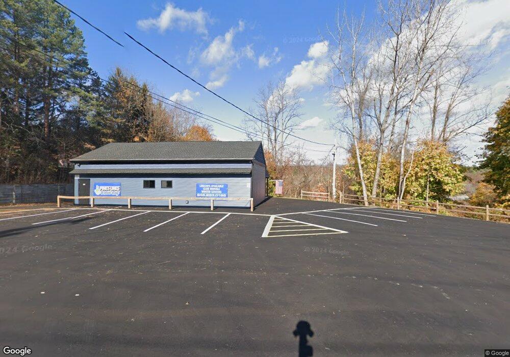
5914 Route 209 Kerhonkson, NY 12446
Estimated Value: $231,716
--
Bed
--
Bath
1,740
Sq Ft
$133/Sq Ft
Est. Value
About This Home
This home is located at 5914 Route 209, Kerhonkson, NY 12446 and is currently estimated at $231,716, approximately $133 per square foot. 5914 Route 209 is a home located in Ulster County with nearby schools including Rondout Valley High School.
Ownership History
Date
Name
Owned For
Owner Type
Purchase Details
Closed on
May 28, 2021
Sold by
Tomjac Realty Corp
Bought by
Pinkerous Thomas R
Current Estimated Value
Purchase Details
Closed on
Sep 26, 2011
Sold by
Crossriver Properties Llc
Bought by
Tomjac Realty Corp
Home Financials for this Owner
Home Financials are based on the most recent Mortgage that was taken out on this home.
Original Mortgage
$112,500
Interest Rate
4.2%
Mortgage Type
Commercial
Purchase Details
Closed on
Nov 25, 2003
Sold by
Heritagenergy Ny Inc
Bought by
Crossriver Properties Llc
Home Financials for this Owner
Home Financials are based on the most recent Mortgage that was taken out on this home.
Original Mortgage
$75,000
Interest Rate
5.98%
Mortgage Type
Seller Take Back
Create a Home Valuation Report for This Property
The Home Valuation Report is an in-depth analysis detailing your home's value as well as a comparison with similar homes in the area
Home Values in the Area
Average Home Value in this Area
Purchase History
| Date | Buyer | Sale Price | Title Company |
|---|---|---|---|
| Pinkerous Thomas R | -- | None Available | |
| Tomjac Realty Corp | $150,000 | None Available | |
| Crossriver Properties Llc | $100,000 | -- |
Source: Public Records
Mortgage History
| Date | Status | Borrower | Loan Amount |
|---|---|---|---|
| Previous Owner | Tomjac Realty Corp | $112,500 | |
| Previous Owner | Crossriver Properties Llc | $75,000 |
Source: Public Records
Tax History Compared to Growth
Tax History
| Year | Tax Paid | Tax Assessment Tax Assessment Total Assessment is a certain percentage of the fair market value that is determined by local assessors to be the total taxable value of land and additions on the property. | Land | Improvement |
|---|---|---|---|---|
| 2024 | $3,841 | $150,000 | $43,000 | $107,000 |
| 2023 | $3,808 | $150,000 | $43,000 | $107,000 |
| 2022 | $3,484 | $150,000 | $43,000 | $107,000 |
| 2021 | $3,484 | $150,000 | $43,000 | $107,000 |
| 2020 | $3,623 | $150,000 | $43,000 | $107,000 |
| 2019 | $3,096 | $150,000 | $43,000 | $107,000 |
| 2018 | $5,613 | $120,000 | $55,200 | $64,800 |
| 2017 | $3,071 | $120,000 | $55,200 | $64,800 |
| 2016 | $3,067 | $120,000 | $55,200 | $64,800 |
| 2015 | -- | $120,000 | $55,200 | $64,800 |
| 2014 | -- | $120,000 | $55,200 | $64,800 |
Source: Public Records
Map
Nearby Homes
- 17 Boice Mill Rd
- 19 Boice Mill Rd
- 87 Boice Mill Rd
- 161 Boice Mill Rd
- 9 Hamilton Dr
- 22 Samsonville Rd Unit 3
- 3 Anna St
- 83 Sages Loop
- 83 Sages Loop Rd
- 45 Millbrook Ln
- TBD Boice Mill Rd
- 57 Samsonville Rd
- 16 Sunset Dr
- 59 Samsonville Rd
- 3 Rose Dr
- 116 Krum Rd
- 40 Highland Ave
- 108 Samsonville Rd
- 50 Spruce St
- 15 Teradon
- 5938 Route 209
- 5941 U S 209
- 5962 Route 209
- 5972 Route 209
- 5982 Route 209
- 5990 Route 209
- 43 Boice Mill Rd
- 5998 Route 209
- 51 Boice Mill Rd
- 6004 Route 209
- 61 Boice Mill Rd
- 5887 Route 209
- 52 Boice Mill Rd
- 48 Boice Mill Rd
- 10 Decter Dr
- 21 Dector Dr
- 95 Boice Mill Rd
- 5868 Route 209
- 24 Dector Dr
- 25 Decter Dr