592 Brown Thrasher Rd Mershon, GA 31551
Estimated Value: $536,754 - $4,047,000
--
Bed
2
Baths
2,365
Sq Ft
$969/Sq Ft
Est. Value
About This Home
This home is located at 592 Brown Thrasher Rd, Mershon, GA 31551 and is currently estimated at $2,291,877, approximately $969 per square foot. 592 Brown Thrasher Rd is a home located in Bacon County with nearby schools including Bacon County Primary School, Bacon County Elementary School, and Bacon County Middle School.
Ownership History
Date
Name
Owned For
Owner Type
Purchase Details
Closed on
Feb 23, 2023
Sold by
Miles John R
Bought by
Miles Marianne and Mullis Lilah G
Current Estimated Value
Purchase Details
Closed on
Jan 21, 2023
Sold by
Miles John R
Bought by
Miles Marianne and Miles Lilah G
Purchase Details
Closed on
Jun 4, 1991
Bought by
Miles John Robert
Create a Home Valuation Report for This Property
The Home Valuation Report is an in-depth analysis detailing your home's value as well as a comparison with similar homes in the area
Home Values in the Area
Average Home Value in this Area
Purchase History
| Date | Buyer | Sale Price | Title Company |
|---|---|---|---|
| Miles Marianne | -- | -- | |
| Miles Marianne | -- | -- | |
| Miles John Robert | $85,000 | -- |
Source: Public Records
Tax History Compared to Growth
Tax History
| Year | Tax Paid | Tax Assessment Tax Assessment Total Assessment is a certain percentage of the fair market value that is determined by local assessors to be the total taxable value of land and additions on the property. | Land | Improvement |
|---|---|---|---|---|
| 2024 | $3,220 | $162,152 | $67,960 | $94,192 |
| 2023 | $3,020 | $152,432 | $67,960 | $84,472 |
| 2022 | $3,583 | $133,512 | $73,200 | $60,312 |
| 2021 | $3,493 | $130,192 | $73,200 | $56,992 |
| 2020 | $3,020 | $107,616 | $56,607 | $51,009 |
| 2019 | $3,026 | $107,616 | $56,607 | $51,009 |
| 2018 | $2,978 | $105,713 | $56,607 | $49,106 |
| 2017 | $3,037 | $105,713 | $56,607 | $49,106 |
| 2016 | $2,979 | $105,713 | $56,607 | $49,106 |
| 2015 | $2,937 | $104,394 | $56,607 | $47,788 |
| 2014 | $1,807 | $104,394 | $56,607 | $47,788 |
| 2013 | $1,807 | $65,241 | $34,541 | $30,700 |
Source: Public Records
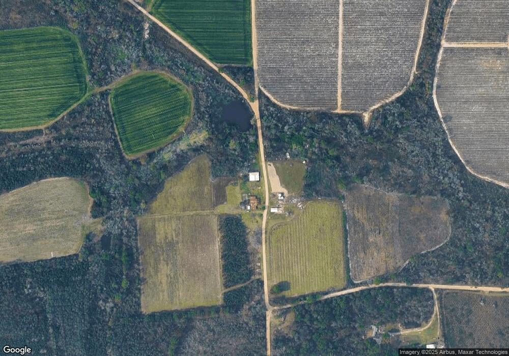
Map
Nearby Homes
- 288 Robin Rd
- TRACT 2 Pine Cone Trail
- TRACT 3 Pine Cone Trail
- TRACT 11 Pine Cone Trail
- 0 Pine Cone Trail
- TRACT 5 Pine Cone Trail
- TRACT 7 Pine Cone Trail
- TRACT 9 Pine Cone Trail
- TBD Cartertown Rd
- TBD Cartertown Rd
- 0 Metts-Overstreet Rd
- 82 Harris Rd
- 0 Crump Rd
- 0 Ward Boyette Rd
- 611 S Bead St
- 9TH E 417
- 0 E 6th St Unit 114222
- 907 N Pierce St
- 0 Oriole Rd Unit 1654653
- 0 Oriole Rd Unit 10543585