5920 E 161st St Noblesville, IN 46062
West Noblesville NeighborhoodEstimated Value: $619,000 - $772,546
4
Beds
6
Baths
4,040
Sq Ft
$166/Sq Ft
Est. Value
About This Home
This home is located at 5920 E 161st St, Noblesville, IN 46062 and is currently estimated at $671,137, approximately $166 per square foot. 5920 E 161st St is a home located in Hamilton County with nearby schools including Noble Crossing Elementary School, Noblesville West Middle School, and Noblesville High School.
Ownership History
Date
Name
Owned For
Owner Type
Purchase Details
Closed on
Mar 11, 2014
Sold by
Weaver Ralph J and Weaver Audrey M
Bought by
Weaver Alan D and Weaver Linda D
Current Estimated Value
Home Financials for this Owner
Home Financials are based on the most recent Mortgage that was taken out on this home.
Original Mortgage
$212,300
Outstanding Balance
$159,347
Interest Rate
4.24%
Mortgage Type
New Conventional
Estimated Equity
$511,790
Purchase Details
Closed on
Nov 15, 2010
Sold by
Weaver Ralph J and Weaver Audrey M
Bought by
Weaver L Dawn
Create a Home Valuation Report for This Property
The Home Valuation Report is an in-depth analysis detailing your home's value as well as a comparison with similar homes in the area
Home Values in the Area
Average Home Value in this Area
Purchase History
| Date | Buyer | Sale Price | Title Company |
|---|---|---|---|
| Weaver Alan D | -- | None Available | |
| Weaver L Dawn | $210,932 | None Available |
Source: Public Records
Mortgage History
| Date | Status | Borrower | Loan Amount |
|---|---|---|---|
| Open | Weaver Alan D | $212,300 | |
| Closed | Weaver L Dawn | $0 |
Source: Public Records
Tax History Compared to Growth
Tax History
| Year | Tax Paid | Tax Assessment Tax Assessment Total Assessment is a certain percentage of the fair market value that is determined by local assessors to be the total taxable value of land and additions on the property. | Land | Improvement |
|---|---|---|---|---|
| 2024 | $4,668 | $452,100 | $99,400 | $352,700 |
| 2023 | $4,668 | $470,700 | $99,400 | $371,300 |
| 2022 | $4,442 | $405,500 | $99,400 | $306,100 |
| 2021 | $3,896 | $350,700 | $99,400 | $251,300 |
| 2020 | $3,152 | $286,400 | $99,400 | $187,000 |
| 2019 | $3,079 | $275,500 | $68,200 | $207,300 |
| 2018 | $3,176 | $265,200 | $68,200 | $197,000 |
| 2017 | $2,962 | $265,300 | $68,200 | $197,100 |
| 2016 | $3,188 | $269,900 | $68,200 | $201,700 |
| 2014 | $3,246 | $256,300 | $68,200 | $188,100 |
| 2013 | $3,246 | $258,400 | $68,200 | $190,200 |
Source: Public Records
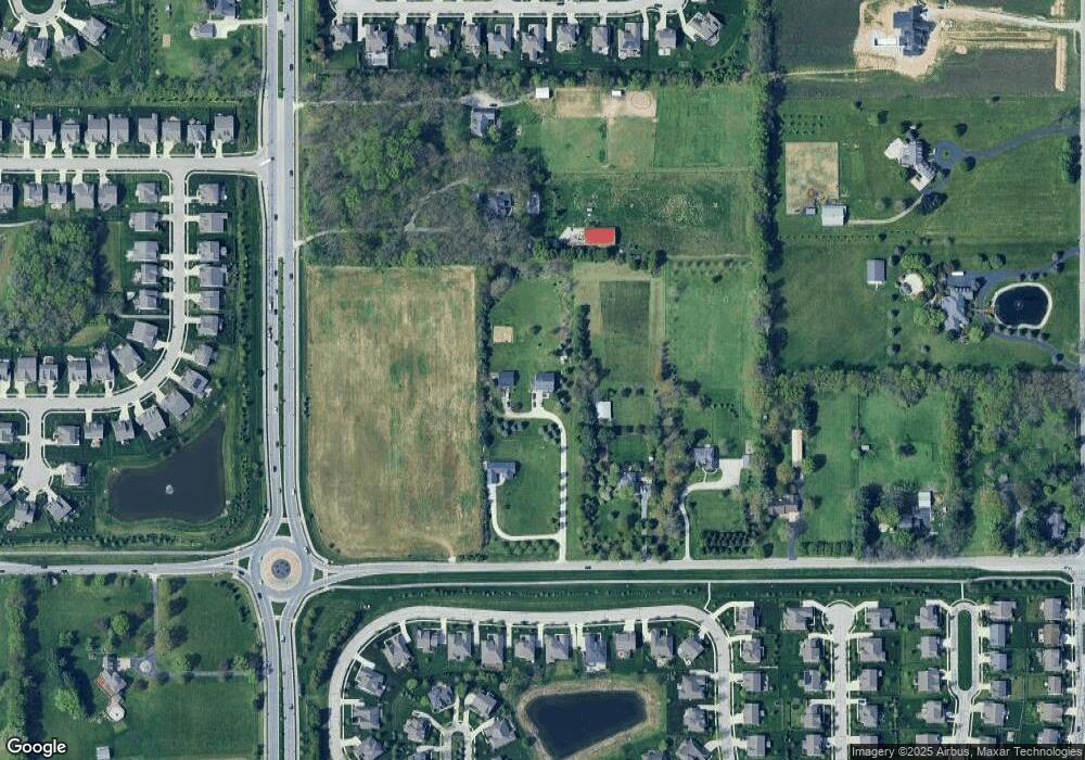
Map
Nearby Homes
- 6026 Stroup Dr
- 16457 Anderson Way
- 5767 E 161st St
- 16004 Bounds Ct
- 16136 Rockcress Dr
- 5728 Mahogany Dr
- 5983 Bladen Dr
- 5610 Pecan Ct
- 16269 Magnolia Ridge Way
- 15700 Lawton Square Dr
- 15680 Hargray Dr
- 222 Bays Dr
- 6238 Ederline Ln
- 6433 Kilpatrick Ln
- 15390 Slateford Rd
- 17031 Flinchum Way E
- 17046 Flinchum Way E
- 17193 Linda Way
- 5444 Rothbury Rd
- 5494 Dunhaven Rd
- 5920 E 161st St
- 5950 E 161st St
- 16282 Hazel Dell Rd
- 6010 E 161st St
- 5939 Stroup Dr
- 5923 Stroup Dr
- 16328 Hazel Dell Rd
- 5907 Stroup Dr
- 5891 Stroup Dr
- 5971 Stroup Dr
- 15688 Hazel Dell Rd
- 17050 Hazel Dell Rd
- 5987 Stroup Dr
- 6011 Stroup Dr
- 5859 Stroup Dr
- 6014 Stroup Dr
- 16016 Gaston Ct
- 16021 Gaston Ct
- 6019 Stroup Dr
- 6018 Stroup Dr