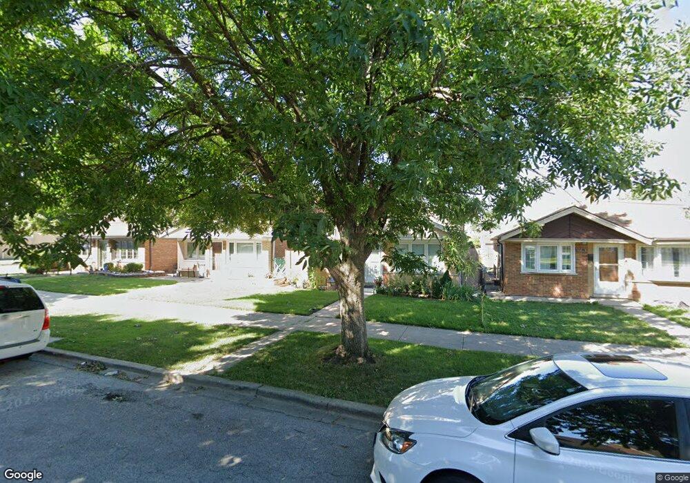
5952 S Parkside Ave Chicago, IL 60638
Clearing NeighborhoodEstimated Value: $275,434 - $310,000
2
Beds
1
Bath
900
Sq Ft
$328/Sq Ft
Est. Value
About This Home
This home is located at 5952 S Parkside Ave, Chicago, IL 60638 and is currently estimated at $295,109, approximately $327 per square foot. 5952 S Parkside Ave is a home located in Cook County with nearby schools including Hale Elementary School, Kennedy High School, and St. Symphorosa Catholic School.
Ownership History
Date
Name
Owned For
Owner Type
Purchase Details
Closed on
Jun 7, 1994
Sold by
Yirku Michael J and Yirku Jo Ann
Bought by
Roppolo Carol A
Current Estimated Value
Home Financials for this Owner
Home Financials are based on the most recent Mortgage that was taken out on this home.
Original Mortgage
$72,000
Interest Rate
8.45%
Create a Home Valuation Report for This Property
The Home Valuation Report is an in-depth analysis detailing your home's value as well as a comparison with similar homes in the area
Home Values in the Area
Average Home Value in this Area
Purchase History
| Date | Buyer | Sale Price | Title Company |
|---|---|---|---|
| Roppolo Carol A | $102,000 | -- |
Source: Public Records
Mortgage History
| Date | Status | Borrower | Loan Amount |
|---|---|---|---|
| Closed | Roppolo Carol A | $72,000 |
Source: Public Records
Tax History Compared to Growth
Tax History
| Year | Tax Paid | Tax Assessment Tax Assessment Total Assessment is a certain percentage of the fair market value that is determined by local assessors to be the total taxable value of land and additions on the property. | Land | Improvement |
|---|---|---|---|---|
| 2024 | $1,344 | $23,000 | $5,600 | $17,400 |
| 2023 | $1,352 | $16,000 | $5,000 | $11,000 |
| 2022 | $1,352 | $16,000 | $5,000 | $11,000 |
| 2021 | $1,279 | $16,000 | $5,000 | $11,000 |
| 2020 | $1,329 | $17,720 | $4,000 | $13,720 |
| 2019 | $1,325 | $19,689 | $4,000 | $15,689 |
| 2018 | $1,305 | $19,689 | $4,000 | $15,689 |
| 2017 | $1,397 | $15,313 | $3,600 | $11,713 |
| 2016 | $1,805 | $15,313 | $3,600 | $11,713 |
| 2015 | $1,736 | $15,313 | $3,600 | $11,713 |
| 2014 | $1,722 | $13,938 | $3,400 | $10,538 |
| 2013 | $2,073 | $13,938 | $3,400 | $10,538 |
Source: Public Records
Map
Nearby Homes
- 6005 S Menard Ave
- 6058 S Massasoit Ave
- 6111 S Menard Ave
- 5814 S Massasoit Ave
- 6109 S Monitor Ave
- 6016 S Mayfield Ave
- 6212 S Major Ave
- 5917 W 59th St
- 6037 S Mason Ave
- 5700 S Monitor Ave
- 5810 S Austin Ave
- 4933 S Linder Ave
- 6152 S Austin Ave
- 5500 W 63rd Place
- 5712 W 56th St
- 5914 S Meade Ave
- 5645 W 64th St
- 5420 W 63rd Place
- 6204 S Mcvicker Ave
- 5533 S Menard Ave
- 5948 S Parkside Ave
- 5954 S Parkside Ave
- 5944 S Parkside Ave
- 5958 S Parkside Ave
- 5940 S Parkside Ave
- 5938 S Parkside Ave
- 5953 S Major Ave
- 5949 S Major Ave
- 5955 S Major Ave
- 5947 S Major Ave
- 5959 S Major Ave
- 5936 S Parkside Ave
- 6000 S Parkside Ave
- 5943 S Major Ave
- 5937 S Major Ave
- 5953 S Parkside Ave
- 5949 S Parkside Ave
- 5932 S Parkside Ave
- 6004 S Parkside Ave
- 5955 S Parkside Ave