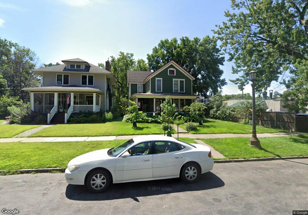
596 596 Ashland Ave St. Paul, MN 55102
Summit-University NeighborhoodEstimated Value: $560,000 - $632,000
3
Beds
2
Baths
1,950
Sq Ft
$306/Sq Ft
Est. Value
About This Home
This home is located at 596 596 Ashland Ave, St. Paul, MN 55102 and is currently estimated at $597,301, approximately $306 per square foot. 596 596 Ashland Ave is a home located in Ramsey County with nearby schools including Maxfield Magnet Elementary School, Jackson Elementary, and Hidden River Middle School.
Ownership History
Date
Name
Owned For
Owner Type
Purchase Details
Closed on
Jun 18, 2024
Sold by
Lee Aj and Lee Alexis James
Bought by
Alexis James Lee Trust and Lee
Current Estimated Value
Purchase Details
Closed on
Oct 9, 2014
Sold by
Lund Erika Erika
Bought by
Lee Aj Aj
Home Financials for this Owner
Home Financials are based on the most recent Mortgage that was taken out on this home.
Original Mortgage
$242,000
Interest Rate
4.12%
Purchase Details
Closed on
Oct 8, 2014
Sold by
Lund Erika Karin and Andersen Mark John
Bought by
Lee Aj
Home Financials for this Owner
Home Financials are based on the most recent Mortgage that was taken out on this home.
Original Mortgage
$242,000
Interest Rate
4.12%
Create a Home Valuation Report for This Property
The Home Valuation Report is an in-depth analysis detailing your home's value as well as a comparison with similar homes in the area
Home Values in the Area
Average Home Value in this Area
Purchase History
| Date | Buyer | Sale Price | Title Company |
|---|---|---|---|
| Alexis James Lee Trust | $500 | None Listed On Document | |
| Lee Aj Aj | $325,000 | -- | |
| Lee Aj | $334,848 | Edina Realty Title Inc |
Source: Public Records
Mortgage History
| Date | Status | Borrower | Loan Amount |
|---|---|---|---|
| Previous Owner | Lee Aj Aj | $242,000 | |
| Previous Owner | Lee Aj | $240,000 |
Source: Public Records
Tax History Compared to Growth
Tax History
| Year | Tax Paid | Tax Assessment Tax Assessment Total Assessment is a certain percentage of the fair market value that is determined by local assessors to be the total taxable value of land and additions on the property. | Land | Improvement |
|---|---|---|---|---|
| 2025 | $7,762 | $583,300 | $165,400 | $417,900 |
| 2023 | $7,762 | $503,700 | $165,400 | $338,300 |
| 2022 | $7,360 | $495,700 | $165,400 | $330,300 |
| 2021 | $6,842 | $455,200 | $165,400 | $289,800 |
| 2020 | $6,514 | $428,300 | $165,400 | $262,900 |
| 2019 | $6,694 | $389,400 | $165,400 | $224,000 |
| 2018 | $6,194 | $394,800 | $165,400 | $229,400 |
| 2017 | $5,156 | $370,000 | $165,400 | $204,600 |
| 2016 | $5,528 | $0 | $0 | $0 |
| 2015 | $2,845 | $338,800 | $152,600 | $186,200 |
| 2014 | $5,356 | $0 | $0 | $0 |
Source: Public Records
Map
Nearby Homes
- 565 Holly Ave
- 545 Holly Ave
- 579 Summit Ave Unit 105
- 542 Portland Ave
- 505 Holly Ave
- 518 Laurel Ave
- 496 Holly Ave Unit 1
- 582 Summit Ave
- 676 Ashland Ave Unit 6
- 28 Dale St S Unit A
- 28 Saint Albans St N Unit 4N
- 506 Summit Ave
- 635 Grand Ave Unit 4
- 505 Selby Ave Unit 1
- 704 Holly Ave
- 182 MacKubin St Unit 1
- 652 Dayton Ave
- 614 Grand Ave Unit C
- 614 Grand Ave Unit 3EE
- 56 Arundel St Unit 10
- 596 Ashland Ave
- 594 Ashland Ave
- 594 594 Ashland Ave
- 90 Dale St N
- 586 Ashland Ave Unit 2
- 586 Ashland Ave Unit 3
- 586 Ashland Ave Unit 4
- 586 Ashland Ave Unit 1
- 586 586 Ashland Ave
- 601 Holly Ave
- 603 Holly Ave
- 597 Holly Ave
- 611 Holly Ave
- 595 Holly Ave
- 587 Ashland Ave
- 578 Ashland Ave
- 615 Holly Ave
- 583 Holly Ave Unit 7
- 583 Holly Ave Unit 1
- 583 Ashland Ave