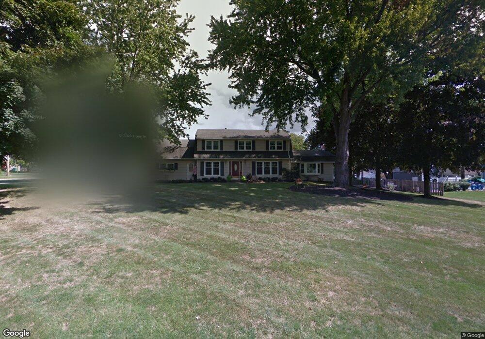
6 Buckwheat Dr Fairport, NY 14450
Estimated Value: $337,000 - $408,000
4
Beds
3
Baths
2,184
Sq Ft
$175/Sq Ft
Est. Value
About This Home
This home is located at 6 Buckwheat Dr, Fairport, NY 14450 and is currently estimated at $382,079, approximately $174 per square foot. 6 Buckwheat Dr is a home located in Monroe County with nearby schools including Jefferson Avenue Elementary School, Johanna Perrin Middle School, and Minerva Deland School.
Ownership History
Date
Name
Owned For
Owner Type
Purchase Details
Closed on
Jun 21, 2006
Sold by
Bense Roger
Bought by
Bense Jacqueline
Current Estimated Value
Purchase Details
Closed on
May 21, 2002
Sold by
Foos Susan M
Bought by
Bense Roger
Purchase Details
Closed on
Oct 10, 2001
Sold by
Drovin Michael C
Bought by
Foos Susan M
Purchase Details
Closed on
Jun 5, 2001
Sold by
Cronin George C
Bought by
Drouin Michael C
Create a Home Valuation Report for This Property
The Home Valuation Report is an in-depth analysis detailing your home's value as well as a comparison with similar homes in the area
Home Values in the Area
Average Home Value in this Area
Purchase History
| Date | Buyer | Sale Price | Title Company |
|---|---|---|---|
| Bense Jacqueline | -- | Kenneth Albert | |
| Bense Roger | $187,500 | Kenneth Albert | |
| Foos Susan M | $135,000 | Ross Cammarata | |
| Drouin Michael C | $100,000 | -- | |
| Cronin George C | $12,000 | -- |
Source: Public Records
Tax History Compared to Growth
Tax History
| Year | Tax Paid | Tax Assessment Tax Assessment Total Assessment is a certain percentage of the fair market value that is determined by local assessors to be the total taxable value of land and additions on the property. | Land | Improvement |
|---|---|---|---|---|
| 2024 | $6,906 | $190,300 | $47,200 | $143,100 |
| 2023 | $6,647 | $190,300 | $47,200 | $143,100 |
| 2022 | $7,006 | $190,300 | $47,200 | $143,100 |
| 2021 | $7,020 | $190,300 | $47,200 | $143,100 |
| 2020 | $6,243 | $190,300 | $47,200 | $143,100 |
| 2019 | $6,713 | $195,000 | $47,200 | $147,800 |
| 2018 | $6,742 | $212,400 | $47,200 | $165,200 |
| 2017 | $4,217 | $206,000 | $47,200 | $158,800 |
| 2016 | $6,713 | $206,000 | $47,200 | $158,800 |
| 2015 | -- | $206,000 | $47,200 | $158,800 |
| 2014 | -- | $206,000 | $47,200 | $158,800 |
Source: Public Records
Map
Nearby Homes
- 603 Watson Rd
- 19 Homestead Dr
- 15 Whitney Farms Cir
- 12 Deland Park A
- 70 High St
- 1331 Whitney Rd E
- 105 Packetts Glen
- 3 Packetts Glen
- 79 Saint Andrews Blvd
- 9 Killeen Dr
- 112 Roselawn Ave
- 255 Watson Rd
- 86 Broxbourne Dr
- 2 Foxpointe Cir
- 31 Dewey Ave
- 76 - 78 Summit St
- 3 Acadian Rise
- 30 Cali Ridge
- 5 New Wickham Dr
- 4 Arbor Ct
- 3 Wheatstone Cir
- 2 Buckwheat Dr
- 5 Wheatstone Cir
- 5 Buckwheat Dr
- 1100 Whitney Rd E
- 7 Buckwheat Dr
- 3 Buckwheat Dr
- 16 Buckwheat Dr
- 9 Buckwheat Dr
- 7 Wheatstone Cir
- 1108 Whitney Rd E
- 4 Wheatstone Cir
- 1 Buckwheat Dr
- 8 Wheatstone Cir
- 1116 Whitney Rd E
- 9 Wheatstone Cir
- 15 Buckwheat Dr
- 12 Wheatstone Cir
- 1124 Whitney Rd E
- 22 Buckwheat Dr