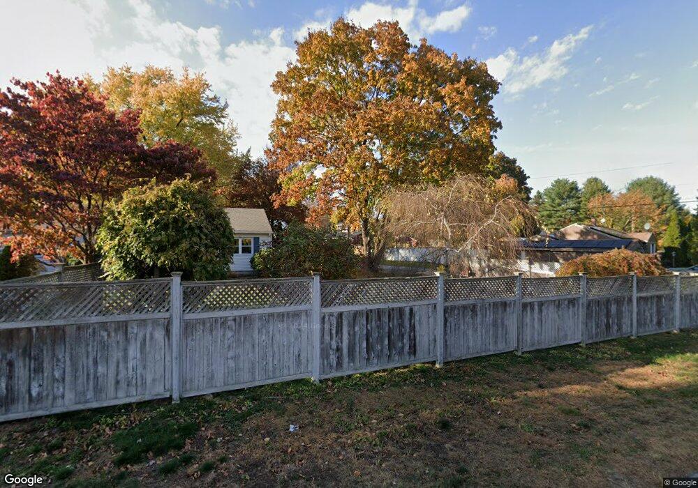
6 Carol Ave Quinebaug, CT 06262
Estimated Value: $318,000 - $440,000
3
Beds
2
Baths
1,240
Sq Ft
$295/Sq Ft
Est. Value
About This Home
This home is located at 6 Carol Ave, Quinebaug, CT 06262 and is currently estimated at $365,806, approximately $295 per square foot. 6 Carol Ave is a home with nearby schools including Mary R. Fisher Elementary School, Thompson Middle School, and Tourtellotte Memorial High School.
Ownership History
Date
Name
Owned For
Owner Type
Purchase Details
Closed on
Nov 25, 2019
Sold by
Forcier Jeffrey
Bought by
Forcier Trish
Current Estimated Value
Home Financials for this Owner
Home Financials are based on the most recent Mortgage that was taken out on this home.
Original Mortgage
$163,000
Interest Rate
2.7%
Mortgage Type
Balloon
Purchase Details
Closed on
Aug 5, 2004
Sold by
Manzi Joseph and Manzi Patricia A
Bought by
Forcier Jeffrey K and Forcier Trish A
Home Financials for this Owner
Home Financials are based on the most recent Mortgage that was taken out on this home.
Original Mortgage
$189,000
Interest Rate
6.2%
Mortgage Type
Purchase Money Mortgage
Purchase Details
Closed on
Dec 15, 1989
Sold by
Sharrott Dwaine
Bought by
Manzi Joseph
Create a Home Valuation Report for This Property
The Home Valuation Report is an in-depth analysis detailing your home's value as well as a comparison with similar homes in the area
Home Values in the Area
Average Home Value in this Area
Purchase History
| Date | Buyer | Sale Price | Title Company |
|---|---|---|---|
| Forcier Trish | -- | None Available | |
| Forcier Trish | -- | None Available | |
| Forcier Jeffrey K | $189,000 | -- | |
| Forcier Jeffrey K | $189,000 | -- | |
| Manzi Joseph | $118,900 | -- |
Source: Public Records
Mortgage History
| Date | Status | Borrower | Loan Amount |
|---|---|---|---|
| Previous Owner | Forcier Trish | $163,000 | |
| Previous Owner | Manzi Joseph | $189,000 |
Source: Public Records
Tax History Compared to Growth
Tax History
| Year | Tax Paid | Tax Assessment Tax Assessment Total Assessment is a certain percentage of the fair market value that is determined by local assessors to be the total taxable value of land and additions on the property. | Land | Improvement |
|---|---|---|---|---|
| 2025 | $2,924 | $153,900 | $41,000 | $112,900 |
| 2024 | $2,836 | $100,900 | $28,600 | $72,300 |
| 2023 | $2,623 | $100,900 | $28,600 | $72,300 |
| 2022 | $2,525 | $100,900 | $28,600 | $72,300 |
| 2021 | $2,517 | $100,900 | $28,600 | $72,300 |
| 2020 | $2,445 | $100,900 | $28,600 | $72,300 |
| 2019 | $2,942 | $106,000 | $28,800 | $77,200 |
| 2018 | $2,942 | $106,000 | $28,800 | $77,200 |
| 2017 | $2,762 | $106,000 | $28,800 | $77,200 |
| 2016 | $2,762 | $106,000 | $28,800 | $77,200 |
| 2015 | $2,629 | $106,000 | $28,800 | $77,200 |
| 2014 | $2,568 | $112,300 | $30,300 | $82,000 |
Source: Public Records
Map
Nearby Homes
- 81 Parkway Dr
- 10 Highland Dr
- 10 Green Acres Ln
- 126 Old Southbridge Rd
- 0 Blash Rd Unit 24105055
- 128 Old Southbridge Rd
- 468 Fabyan Rd
- 433 Fabyan Rd
- 417 Dugg Hill Rd
- 264 Dresser Hill Rd
- 40 Hagstrom Rd
- 36 Olde Meadow Rd
- 313 Quinebaug Rd
- 11 Lempicki Rd
- 145 Center Rd
- 220 W Main St
- 73 Dudley Hill Rd
- 2 W Dudley Rd
- 4 W Dudley Rd
- 1669 Route 169
- 11 Donovan Dr
- 81 Donovan Dr
- 0 Donovan Unit E278662
- 0 Donovan Unit E278660
- 0 Donovan Unit E10037781
- 0 Donovan Unit G10145514
- 1 Donovan Dr
- 48 Old Turnpike Rd
- 45 Old Turnpike Rd
- 74 Old Turnpike Rd
- 43 Old Turnpike Rd
- 78 Old Turnpike Rd
- 0 Donovan Dr Unit Lot 19 170480260
- 22 Donovan Dr
- 84 Old Turnpike Rd
- 84 Old Turnpike Rd
- 27 Old Turnpike Rd
- 43 Old Turnpike Rd
- 23 Old Turnpike Rd