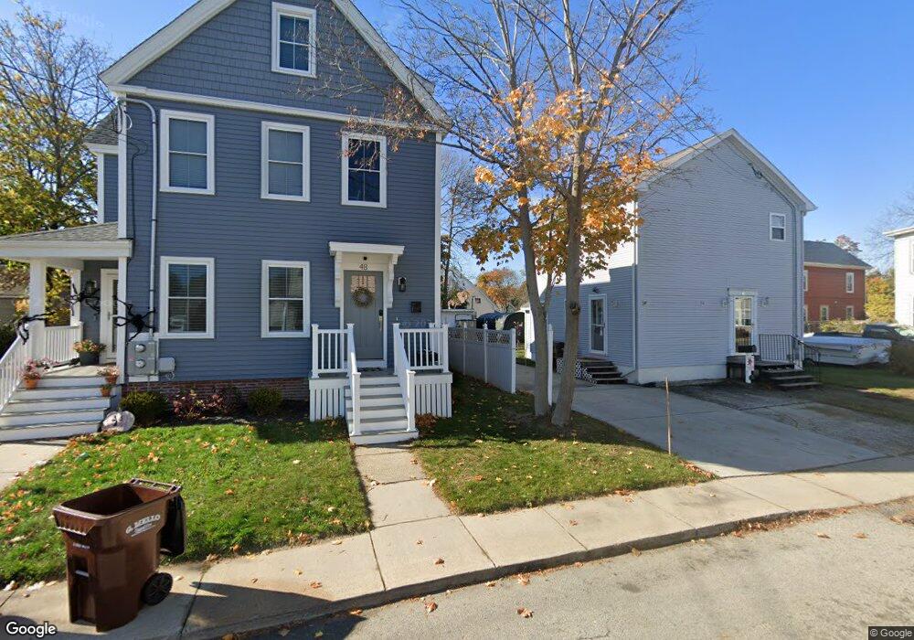
6 Cushing St Amesbury, MA 01913
Estimated Value: $499,000 - $595,701
3
Beds
2
Baths
1,152
Sq Ft
$488/Sq Ft
Est. Value
About This Home
This home is located at 6 Cushing St, Amesbury, MA 01913 and is currently estimated at $561,675, approximately $487 per square foot. 6 Cushing St is a home located in Essex County with nearby schools including Amesbury High School and Amesbury Seventh-Day Adventist School.
Ownership History
Date
Name
Owned For
Owner Type
Purchase Details
Closed on
Apr 5, 1989
Sold by
Charles James C
Bought by
Lane George R
Current Estimated Value
Create a Home Valuation Report for This Property
The Home Valuation Report is an in-depth analysis detailing your home's value as well as a comparison with similar homes in the area
Home Values in the Area
Average Home Value in this Area
Purchase History
| Date | Buyer | Sale Price | Title Company |
|---|---|---|---|
| Lane George R | $85,000 | -- |
Source: Public Records
Mortgage History
| Date | Status | Borrower | Loan Amount |
|---|---|---|---|
| Open | Lane George R | $140,000 | |
| Closed | Lane George R | $25,000 | |
| Closed | Lane George R | $145,000 |
Source: Public Records
Tax History Compared to Growth
Tax History
| Year | Tax Paid | Tax Assessment Tax Assessment Total Assessment is a certain percentage of the fair market value that is determined by local assessors to be the total taxable value of land and additions on the property. | Land | Improvement |
|---|---|---|---|---|
| 2025 | $7,745 | $506,200 | $193,900 | $312,300 |
| 2024 | $7,382 | $472,000 | $182,900 | $289,100 |
| 2023 | $6,740 | $412,500 | $159,000 | $253,500 |
| 2022 | $6,439 | $364,000 | $138,300 | $225,700 |
| 2021 | $5,634 | $308,700 | $106,800 | $201,900 |
| 2020 | $5,030 | $292,800 | $102,700 | $190,100 |
| 2019 | $5,111 | $278,200 | $102,700 | $175,500 |
| 2018 | $4,913 | $258,700 | $97,800 | $160,900 |
| 2017 | $5,045 | $252,900 | $97,800 | $155,100 |
| 2016 | $5,021 | $247,600 | $97,800 | $149,800 |
| 2015 | $4,930 | $240,000 | $97,800 | $142,200 |
| 2014 | $4,813 | $229,500 | $97,800 | $131,700 |
Source: Public Records
Map
Nearby Homes
- 22 Huntington Ave
- 118 Elm St
- 97 Elm St
- 5 Richs Ct Unit 3
- 25 Cedar St Unit 4
- 25 Cedar St Unit 14
- 25 Cedar St Unit 7
- 161 Elm St Unit A
- 4 Clark St
- 101 Market St Unit B
- 101 Market St Unit A
- 105 Market St Unit B
- 3 Arlington St
- 13 High St Unit 2
- 37 Millyard Unit 204
- 43 Aubin St Unit 43
- 4 Winter St
- 204 Elm St
- 48 Orchard St
- 57 Clinton St