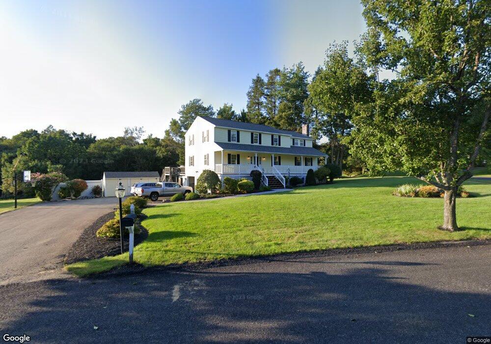
6 Elliott Dr Charlton, MA 01507
Estimated Value: $612,526 - $807,000
4
Beds
3
Baths
2,860
Sq Ft
$238/Sq Ft
Est. Value
About This Home
This home is located at 6 Elliott Dr, Charlton, MA 01507 and is currently estimated at $680,132, approximately $237 per square foot. 6 Elliott Dr is a home located in Worcester County with nearby schools including Shepherd Hill Regional High School.
Ownership History
Date
Name
Owned For
Owner Type
Purchase Details
Closed on
Jun 18, 2020
Sold by
Schulman Randy and Schulman Susan
Bought by
Schulman Int and Schulman S
Current Estimated Value
Purchase Details
Closed on
Apr 2, 1998
Sold by
Bellemare Marianne G and Bellemare Barry C
Bought by
Schulman Randy and Schulman Susan
Home Financials for this Owner
Home Financials are based on the most recent Mortgage that was taken out on this home.
Original Mortgage
$120,000
Interest Rate
6.89%
Mortgage Type
Purchase Money Mortgage
Purchase Details
Closed on
Sep 20, 1995
Sold by
Gatzogiannis Elias and Gatzogiannis Gramany
Bought by
Bellemare Barry and Bellemare Marianne
Purchase Details
Closed on
Oct 11, 1991
Sold by
Burlingame Kenyon and Burlingame Marjorie
Bought by
Gatzogiannis Elias and Gatzogianni Gramany
Create a Home Valuation Report for This Property
The Home Valuation Report is an in-depth analysis detailing your home's value as well as a comparison with similar homes in the area
Home Values in the Area
Average Home Value in this Area
Purchase History
| Date | Buyer | Sale Price | Title Company |
|---|---|---|---|
| Schulman Int | -- | None Available | |
| Schulman Int | -- | None Available | |
| Schulman Randy | $208,500 | -- | |
| Schulman Randy | $208,500 | -- | |
| Bellemare Barry | $137,500 | -- | |
| Bellemare Barry | $137,500 | -- | |
| Gatzogiannis Elias | $152,000 | -- |
Source: Public Records
Mortgage History
| Date | Status | Borrower | Loan Amount |
|---|---|---|---|
| Previous Owner | Gatzogiannis Elias | $100,000 | |
| Previous Owner | Gatzogiannis Elias | $37,000 | |
| Previous Owner | Gatzogiannis Elias | $120,000 |
Source: Public Records
Tax History Compared to Growth
Tax History
| Year | Tax Paid | Tax Assessment Tax Assessment Total Assessment is a certain percentage of the fair market value that is determined by local assessors to be the total taxable value of land and additions on the property. | Land | Improvement |
|---|---|---|---|---|
| 2025 | $5,784 | $519,700 | $84,500 | $435,200 |
| 2024 | $5,619 | $495,500 | $84,500 | $411,000 |
| 2023 | $5,479 | $450,200 | $81,700 | $368,500 |
| 2022 | $5,736 | $431,600 | $76,000 | $355,600 |
| 2021 | $4,871 | $324,500 | $73,200 | $251,300 |
| 2020 | $4,806 | $321,700 | $70,400 | $251,300 |
| 2019 | $4,752 | $321,700 | $70,400 | $251,300 |
| 2018 | $4,343 | $321,700 | $70,400 | $251,300 |
| 2017 | $4,217 | $299,100 | $70,400 | $228,700 |
| 2016 | $4,066 | $295,100 | $70,400 | $224,700 |
| 2015 | $3,960 | $295,100 | $70,400 | $224,700 |
| 2014 | $3,788 | $299,200 | $72,000 | $227,200 |
Source: Public Records
Map
Nearby Homes
- 199 Center Depot Rd
- 208 Sunset Dr
- 38 Stevens Park Rd
- 7 Little Muggett Rd
- 9 Knollwood Dr
- 65 Old Spencer Rd
- Lot 0 N Sturbridge Rd
- 102 Worcester Rd
- 0 Trolley Crossing Rd
- 5 Carpenter Hill Rd
- 25 N Main St Unit A
- 3 Cranberry Meadow Shore Rd
- Lot 3 0 N Sullivan Rd
- Lot 6 0 N Sullivan Rd
- Lot 5 0 N Sullivan Rd
- Lot 4 0 N Sullivan Rd
- 0 Worcester Rd
- 5 Northside Rd
- 8 Northside Rd
- 45 Jennings Rd