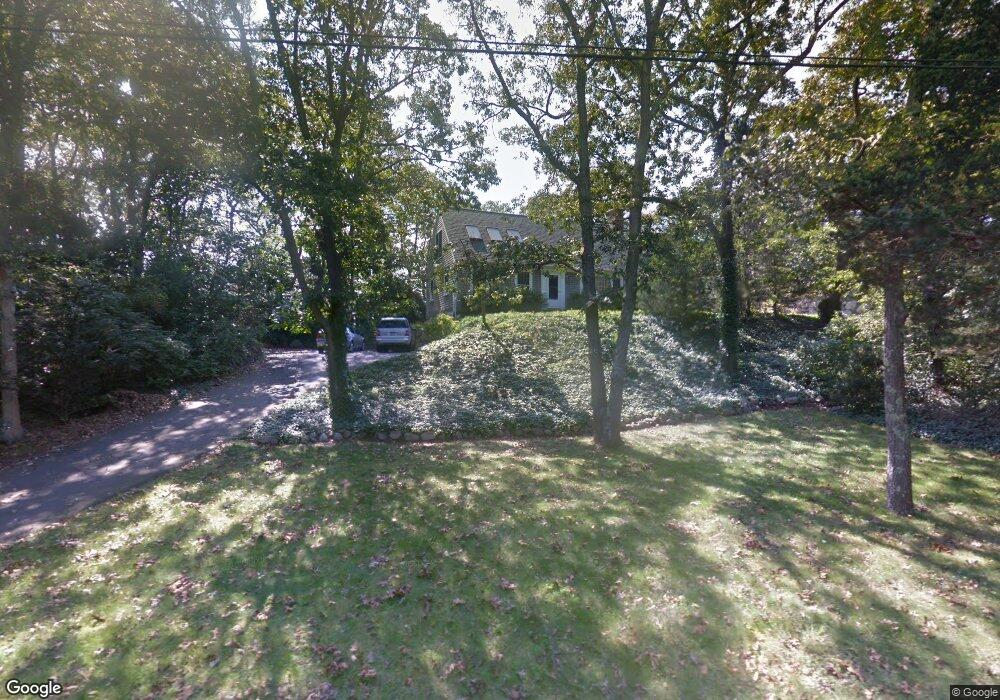
6 Gray Ln Falmouth, MA 02540
West Falmouth NeighborhoodEstimated Value: $1,386,000 - $1,651,000
4
Beds
3
Baths
1,501
Sq Ft
$1,031/Sq Ft
Est. Value
About This Home
This home is located at 6 Gray Ln, Falmouth, MA 02540 and is currently estimated at $1,547,314, approximately $1,030 per square foot. 6 Gray Ln is a home located in Barnstable County with nearby schools including Mullen-Hall School, Lawrence School, and Morse Pond School.
Ownership History
Date
Name
Owned For
Owner Type
Purchase Details
Closed on
Jan 23, 1998
Sold by
Silverman Jeanne W and Silverman Kenneth J
Bought by
Shah Alkesh H and Shah Kathryn P
Current Estimated Value
Home Financials for this Owner
Home Financials are based on the most recent Mortgage that was taken out on this home.
Original Mortgage
$150,000
Outstanding Balance
$25,109
Interest Rate
7.11%
Mortgage Type
Purchase Money Mortgage
Estimated Equity
$1,522,205
Create a Home Valuation Report for This Property
The Home Valuation Report is an in-depth analysis detailing your home's value as well as a comparison with similar homes in the area
Home Values in the Area
Average Home Value in this Area
Purchase History
| Date | Buyer | Sale Price | Title Company |
|---|---|---|---|
| Shah Alkesh H | $309,000 | -- | |
| Shah Alkesh H | $309,000 | -- |
Source: Public Records
Mortgage History
| Date | Status | Borrower | Loan Amount |
|---|---|---|---|
| Open | Shah Alkesh H | $150,000 | |
| Closed | Shah Alkesh H | $150,000 |
Source: Public Records
Tax History Compared to Growth
Tax History
| Year | Tax Paid | Tax Assessment Tax Assessment Total Assessment is a certain percentage of the fair market value that is determined by local assessors to be the total taxable value of land and additions on the property. | Land | Improvement |
|---|---|---|---|---|
| 2025 | $8,783 | $1,496,200 | $739,600 | $756,600 |
| 2024 | $8,357 | $1,330,800 | $640,400 | $690,400 |
| 2023 | $7,643 | $1,104,500 | $510,500 | $594,000 |
| 2022 | $7,932 | $985,300 | $510,900 | $474,400 |
| 2021 | $6,927 | $814,900 | $437,300 | $377,600 |
| 2020 | $6,659 | $775,200 | $397,600 | $377,600 |
| 2019 | $6,554 | $765,600 | $397,600 | $368,000 |
| 2018 | $6,489 | $754,500 | $397,600 | $356,900 |
| 2017 | $6,314 | $740,200 | $397,600 | $342,600 |
| 2016 | $6,195 | $740,200 | $397,600 | $342,600 |
| 2015 | $6,062 | $740,200 | $397,600 | $342,600 |
| 2014 | $5,960 | $731,300 | $397,600 | $333,700 |
Source: Public Records
Map
Nearby Homes
- 44 Carey Ln
- 251 Woods Hole Rd
- 38 Landfall Unit 38
- 38 Landfall
- 87 Oyster Pond Rd
- 45 Haynes Ave
- 27 Upland Ave
- 29 Wilson Rd
- 76 F r Lillie Rd
- 15 Hedge Ln
- 54 Whitman Rd
- 71 Main St
- 5 Park Rd
- 98 Main St
- 98 Main St Unit 1
- 65 Walker St
- 30 Katherine Lee Bates Rd
- 10 Quissett Ave
- 10 Shanks Pond Rd
- 33 Oakwood Ave
- 20 Dary Ln
- 449 Sippewissett Rd
- 12 Gray Ln
- 437 Sippewissett Rd
- 18 Gray Ln
- 433 Sippewissett Rd
- 457 Sippewissett Rd
- 15 Gray Ln
- 29 Gray Ln
- 10 Racing Beach Ave
- 434 Sippewissett Rd
- 24 Dary Ln
- 9 Ransom Rd
- 24 Gray Ln
- 00 Dusty Miller Rd
- 7 Racing Beach Ave
- 430 Sippewissett Rd
- 5 Racing Beach Ave
- 466 Sippewissett Rd
- 23 Gray Ln