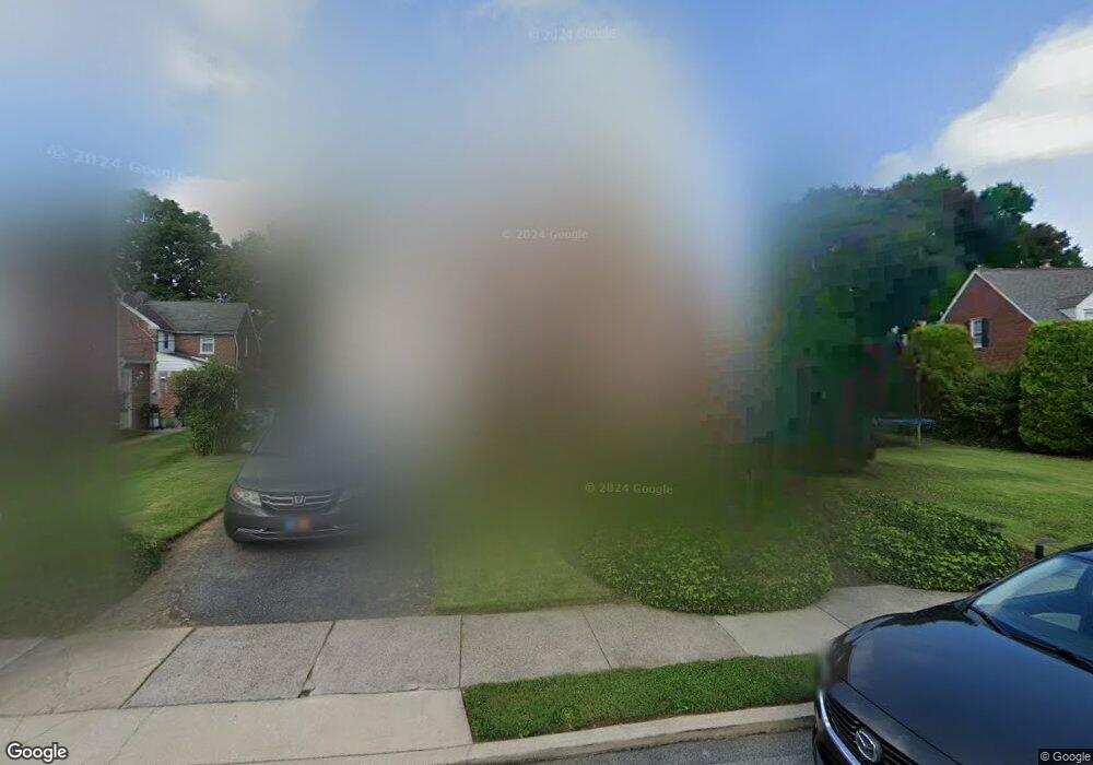
6 Mansfield Rd Lansdowne, PA 19050
Estimated Value: $329,197 - $412,000
3
Beds
3
Baths
1,595
Sq Ft
$240/Sq Ft
Est. Value
About This Home
This home is located at 6 Mansfield Rd, Lansdowne, PA 19050 and is currently estimated at $382,299, approximately $239 per square foot. 6 Mansfield Rd is a home located in Delaware County with nearby schools including Ardmore Avenue School, Penn Wood Middle School, and Penn Wood High School - Cypress Street Campus.
Ownership History
Date
Name
Owned For
Owner Type
Purchase Details
Closed on
Jul 21, 2006
Sold by
Woodward Robert L and Morroni Michele
Bought by
Rippie Christopher and Wood Debra
Current Estimated Value
Home Financials for this Owner
Home Financials are based on the most recent Mortgage that was taken out on this home.
Original Mortgage
$187,500
Outstanding Balance
$111,437
Interest Rate
6.67%
Mortgage Type
Purchase Money Mortgage
Estimated Equity
$270,862
Purchase Details
Closed on
Jul 12, 1996
Sold by
Mcmanus James E and Mcmanus Mary P
Bought by
Woodward Robert L and Morroni Michele
Home Financials for this Owner
Home Financials are based on the most recent Mortgage that was taken out on this home.
Original Mortgage
$109,250
Interest Rate
8.28%
Create a Home Valuation Report for This Property
The Home Valuation Report is an in-depth analysis detailing your home's value as well as a comparison with similar homes in the area
Home Values in the Area
Average Home Value in this Area
Purchase History
| Date | Buyer | Sale Price | Title Company |
|---|---|---|---|
| Rippie Christopher | $240,000 | Germantown Title Company | |
| Woodward Robert L | $115,000 | T A Title Insurance Company |
Source: Public Records
Mortgage History
| Date | Status | Borrower | Loan Amount |
|---|---|---|---|
| Open | Rippie Christopher | $187,500 | |
| Previous Owner | Woodward Robert L | $109,250 |
Source: Public Records
Tax History Compared to Growth
Tax History
| Year | Tax Paid | Tax Assessment Tax Assessment Total Assessment is a certain percentage of the fair market value that is determined by local assessors to be the total taxable value of land and additions on the property. | Land | Improvement |
|---|---|---|---|---|
| 2025 | $7,098 | $172,390 | $56,080 | $116,310 |
| 2024 | $7,098 | $172,390 | $56,080 | $116,310 |
| 2023 | $6,767 | $172,390 | $56,080 | $116,310 |
| 2022 | $6,634 | $172,390 | $56,080 | $116,310 |
| 2021 | $9,962 | $172,390 | $56,080 | $116,310 |
| 2020 | $6,714 | $102,380 | $30,870 | $71,510 |
| 2019 | $6,602 | $102,380 | $30,870 | $71,510 |
| 2018 | $6,488 | $102,380 | $0 | $0 |
| 2017 | $6,345 | $102,380 | $0 | $0 |
| 2016 | $562 | $102,380 | $0 | $0 |
| 2015 | $562 | $102,380 | $0 | $0 |
| 2014 | $562 | $102,380 | $0 | $0 |
Source: Public Records
Map
Nearby Homes
- 108 Gladstone Rd
- 80 W Baltimore Ave Unit B510
- 233 Scottdale Rd
- 257 W Greenwood Ave
- 38 W Stratford Ave
- 182 Berkley Ave
- 185 Berkley Ave
- 29 W Stratford Ave
- 49 Elberon Ave
- 82 Marple Ave
- 271 Drexel Ave
- 223 W Plumstead Ave
- 442 E Baltimore Ave
- 3847 Dennison Ave
- 88 W Plumstead Ave
- 37 E Stratford Ave
- 32 N Wycombe Ave
- 162 Burmont Rd
- 225 Glentay Ave
- 603 Montana Ave
- 11 Deforest Rd
- 10 Mansfield Rd
- 2 Mansfield Rd
- 9 Mansfield Rd
- 11 Mansfield Rd
- 13 Deforest Rd
- 7 Mansfield Rd
- 13 Mansfield Rd
- 14 Mansfield Rd
- 5 Mansfield Rd
- 15 Mansfield Rd
- 3 Mansfield Rd
- 17 Deforest Rd
- 17 Mansfield Rd
- 18 Mansfield Rd
- 1 Walsh Rd
- 10 W Windermere Terrace
- 14 W Windermere Terrace
- 8 W Windermere Terrace