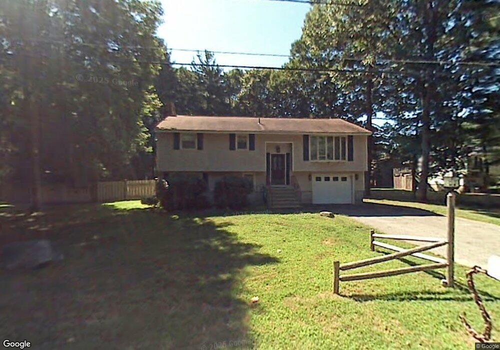
6 Parkview Ave Salem, NH 03079
Depot Village NeighborhoodEstimated Value: $522,794 - $594,000
3
Beds
2
Baths
1,138
Sq Ft
$480/Sq Ft
Est. Value
About This Home
This home is located at 6 Parkview Ave, Salem, NH 03079 and is currently estimated at $545,949, approximately $479 per square foot. 6 Parkview Ave is a home located in Rockingham County with nearby schools including Mary A. Fisk Elementary School, Woodbury School, and Salem High School.
Ownership History
Date
Name
Owned For
Owner Type
Purchase Details
Closed on
Jul 1, 2025
Sold by
Merrill Mary M and Merrill Gary D
Bought by
Barbagallo Crystal
Current Estimated Value
Home Financials for this Owner
Home Financials are based on the most recent Mortgage that was taken out on this home.
Original Mortgage
$15,000
Outstanding Balance
$14,962
Interest Rate
6.86%
Mortgage Type
New Conventional
Estimated Equity
$530,987
Purchase Details
Closed on
Dec 5, 2017
Sold by
Torrisi Kenneth A
Bought by
Merrill Mary M and Merrill Gary D
Purchase Details
Closed on
Oct 22, 1971
Bought by
Torrisi Kenneth A and Torrisi Geraldine
Create a Home Valuation Report for This Property
The Home Valuation Report is an in-depth analysis detailing your home's value as well as a comparison with similar homes in the area
Home Values in the Area
Average Home Value in this Area
Purchase History
| Date | Buyer | Sale Price | Title Company |
|---|---|---|---|
| Barbagallo Crystal | $525,000 | -- | |
| Barbagallo Crystal | $525,000 | -- | |
| Merrill Mary M | -- | -- | |
| Merrill Mary M | -- | -- | |
| Torrisi Kenneth A | -- | -- |
Source: Public Records
Mortgage History
| Date | Status | Borrower | Loan Amount |
|---|---|---|---|
| Open | Barbagallo Crystal | $15,000 | |
| Previous Owner | Torrisi Kenneth A | $100,000 |
Source: Public Records
Tax History Compared to Growth
Tax History
| Year | Tax Paid | Tax Assessment Tax Assessment Total Assessment is a certain percentage of the fair market value that is determined by local assessors to be the total taxable value of land and additions on the property. | Land | Improvement |
|---|---|---|---|---|
| 2024 | $6,869 | $390,300 | $162,700 | $227,600 |
| 2023 | $6,619 | $390,300 | $162,700 | $227,600 |
| 2022 | $6,264 | $390,300 | $162,700 | $227,600 |
| 2021 | $6,237 | $390,300 | $162,700 | $227,600 |
| 2020 | $5,697 | $258,700 | $116,300 | $142,400 |
| 2019 | $5,686 | $258,700 | $116,300 | $142,400 |
| 2018 | $5,591 | $258,700 | $116,300 | $142,400 |
| 2017 | $5,391 | $258,700 | $116,300 | $142,400 |
| 2016 | $5,447 | $266,600 | $116,300 | $150,300 |
| 2015 | $5,181 | $242,200 | $118,300 | $123,900 |
| 2014 | $5,035 | $242,200 | $118,300 | $123,900 |
| 2013 | $4,955 | $242,200 | $118,300 | $123,900 |
Source: Public Records
Map
Nearby Homes
- 60 Brookwood Dr
- 89 End St
- 3 Friendship Dr
- 2 Montalcino Way
- 14 Cortona Way Unit 14
- 47 Millville St
- 49 Millville St
- 13 Irving St
- 10 Sally Sweets Way Unit V104
- 25 Dogwood Rd
- 4 Therriault Ave
- 102 School St
- 10 Braemoor Woods Rd Unit 202
- 12 Braemoor Woods Rd Unit 206
- 11 Sullivan Ct
- 75 S Policy St Unit 45
- 17 Clinton St
- 99 Cluff Crossing Rd Unit 7
- 7 Lancelot Ct Unit 4
- 4 Brook Rd Unit 409