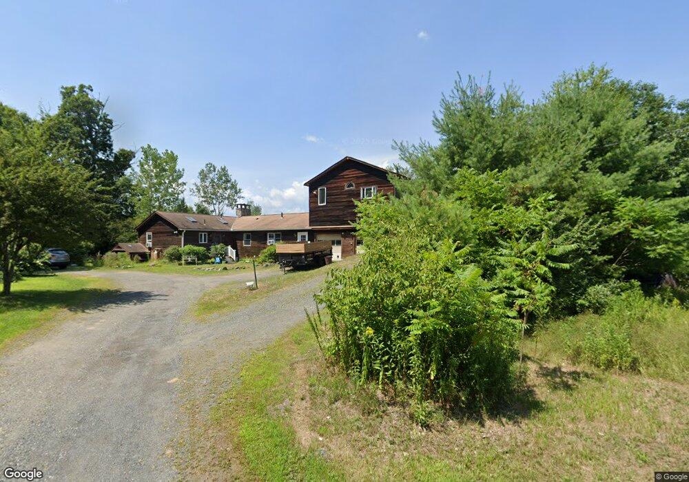
6 Whitney Way Montague, MA 01351
Estimated Value: $581,000 - $670,862
4
Beds
4
Baths
9,999
Sq Ft
$61/Sq Ft
Est. Value
About This Home
This home is located at 6 Whitney Way, Montague, MA 01351 and is currently estimated at $608,466, approximately $60 per square foot. 6 Whitney Way is a home located in Franklin County.
Ownership History
Date
Name
Owned For
Owner Type
Purchase Details
Closed on
Jun 21, 2021
Sold by
Whitney Linda B and Greenfield Sb
Bought by
Roud Paul C
Current Estimated Value
Purchase Details
Closed on
Apr 24, 2006
Sold by
Whitney Warren H
Bought by
Whitney Warren H and Whitney Linda B
Home Financials for this Owner
Home Financials are based on the most recent Mortgage that was taken out on this home.
Original Mortgage
$250,000
Interest Rate
6.37%
Mortgage Type
Purchase Money Mortgage
Create a Home Valuation Report for This Property
The Home Valuation Report is an in-depth analysis detailing your home's value as well as a comparison with similar homes in the area
Home Values in the Area
Average Home Value in this Area
Purchase History
| Date | Buyer | Sale Price | Title Company |
|---|---|---|---|
| Roud Paul C | $355,000 | None Available | |
| Roud Paul C | $355,000 | None Available | |
| Whitney Warren H | -- | -- | |
| Whitney Warren H | -- | -- | |
| Whitney Warren H | -- | -- |
Source: Public Records
Mortgage History
| Date | Status | Borrower | Loan Amount |
|---|---|---|---|
| Previous Owner | Whitney Warren H | $250,000 |
Source: Public Records
Tax History Compared to Growth
Tax History
| Year | Tax Paid | Tax Assessment Tax Assessment Total Assessment is a certain percentage of the fair market value that is determined by local assessors to be the total taxable value of land and additions on the property. | Land | Improvement |
|---|---|---|---|---|
| 2025 | $8,919 | $586,400 | $116,200 | $470,200 |
| 2024 | $8,605 | $548,100 | $116,200 | $431,900 |
| 2023 | $8,534 | $545,300 | $116,200 | $429,100 |
| 2022 | $8,762 | $522,800 | $116,200 | $406,600 |
| 2021 | $9,416 | $450,800 | $97,500 | $353,300 |
| 2020 | $7,529 | $428,500 | $97,500 | $331,000 |
| 2019 | $7,416 | $432,900 | $105,000 | $327,900 |
| 2018 | $7,024 | $411,000 | $105,000 | $306,000 |
| 2017 | $6,851 | $411,000 | $105,000 | $306,000 |
| 2016 | $6,722 | $381,700 | $98,700 | $283,000 |
| 2015 | $6,474 | $381,700 | $98,700 | $283,000 |
| 2014 | $6,237 | $381,700 | $98,700 | $283,000 |
Source: Public Records
Map
Nearby Homes
- 2 Gunn Rd
- 495 Federal St Unit B
- 35 A N Leverett Rd
- 39 N Leverett Rd
- 64 Main St
- 134 Montague Rd
- 132 Meadow Rd
- 0 Pocumtuck Dr Unit 73379330
- 477 River Rd
- 10 Hannabrooke Dr
- 7 Stage Rd
- 238 N Main St
- 13 Capt Lathrop Dr
- 345 Greenfield Rd
- 259 Long Plain Rd
- 208 Greenfield Rd
- 40 Eastern Ave
- 15 Crestview Dr
- Lot C Mountain Rd
- Lot A Mountain Rd
- 29 Fosters Rd
- 33 Fosters Rd
- 37 Fosters Rd
- 7 Whitney Way
- 4 Whitney Way
- 457 Montague Rd
- 21 Fosters Rd
- 2 Whitney Way
- 495 Montague Rd
- 83 Sunderland Rd
- 89 Sunderland Rd
- 53 L S Rte 47 Montague Rd
- 449 Montague Rd
- 73 Sunderland Rd
- 71 Sunderland Rd
- 2 Fosters Rd
- 472 Montague Rd
- 470 Montague Rd
- 66 Sunderland Rd
- 445 Montague Rd