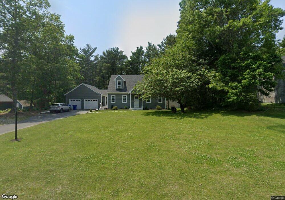
6 Winston Ave Bourne, MA 2532
Estimated Value: $580,008 - $640,000
3
Beds
2
Baths
1,512
Sq Ft
$405/Sq Ft
Est. Value
About This Home
This home is located at 6 Winston Ave, Bourne, MA 2532 and is currently estimated at $612,002, approximately $404 per square foot. 6 Winston Ave is a home located in Barnstable County with nearby schools including Bourne High School and Bridgeview Montessori School.
Ownership History
Date
Name
Owned For
Owner Type
Purchase Details
Closed on
Sep 5, 2003
Sold by
Landamerica Onestop In
Bought by
Strode Edwin R and Strode Ann Marie C
Current Estimated Value
Home Financials for this Owner
Home Financials are based on the most recent Mortgage that was taken out on this home.
Original Mortgage
$248,000
Outstanding Balance
$113,304
Interest Rate
6.02%
Mortgage Type
Purchase Money Mortgage
Estimated Equity
$498,698
Purchase Details
Closed on
Mar 20, 2002
Sold by
Barry Edward R and Barry Jeanne M
Bought by
Casciano Anthony J and Casciano Stephanie A
Purchase Details
Closed on
Nov 2, 1992
Sold by
Gladney James S and Mitchell Roderick A
Bought by
Barry Edward R and Barry Jeanne M
Create a Home Valuation Report for This Property
The Home Valuation Report is an in-depth analysis detailing your home's value as well as a comparison with similar homes in the area
Home Values in the Area
Average Home Value in this Area
Purchase History
| Date | Buyer | Sale Price | Title Company |
|---|---|---|---|
| Strode Edwin R | $310,000 | -- | |
| Landamerica Onestop In | $310,000 | -- | |
| Strode Edwin R | $310,000 | -- | |
| Casciano Anthony J | $238,500 | -- | |
| Casciano Anthony J | $238,500 | -- | |
| Barry Edward R | $115,000 | -- | |
| Barry Edward R | $115,000 | -- |
Source: Public Records
Mortgage History
| Date | Status | Borrower | Loan Amount |
|---|---|---|---|
| Open | Barry Edward R | $248,000 | |
| Closed | Barry Edward R | $248,000 |
Source: Public Records
Tax History Compared to Growth
Tax History
| Year | Tax Paid | Tax Assessment Tax Assessment Total Assessment is a certain percentage of the fair market value that is determined by local assessors to be the total taxable value of land and additions on the property. | Land | Improvement |
|---|---|---|---|---|
| 2025 | $3,889 | $497,900 | $175,000 | $322,900 |
| 2024 | $3,563 | $444,300 | $166,600 | $277,700 |
| 2023 | $3,498 | $397,100 | $163,800 | $233,300 |
| 2022 | $3,355 | $332,500 | $145,000 | $187,500 |
| 2021 | $3,260 | $302,700 | $132,000 | $170,700 |
| 2020 | $3,077 | $286,500 | $130,700 | $155,800 |
| 2019 | $2,939 | $279,600 | $130,700 | $148,900 |
| 2018 | $2,805 | $266,100 | $124,500 | $141,600 |
| 2017 | $2,678 | $260,000 | $123,300 | $136,700 |
| 2016 | $2,610 | $256,900 | $123,300 | $133,600 |
Source: Public Records
Map
Nearby Homes
- 0 State Rd
- 150 Herring Pond Rd
- 18 Ocean Pines Dr Unit A
- 4 Fieldwood Dr
- 4 Fieldwood Dr
- 368 Old Plymouth Rd
- 215 Roxy Cahoon Rd
- 11 Village Green Dr Unit B
- 21 Hillside Rd
- 5 Oakwood Dr
- 1 Kara's Way
- 4 Bittersweet Ln Unit 4
- 2 Dogwood Rd
- 2 Dogwood Rd Unit 2
- 20 Brady Rd
- 19 Oak Bluff Rd
- 110 Valley Rd
- 10 Tecumseh Rd
- 1150 Long Pond Rd
- 65 Lakewood Dr