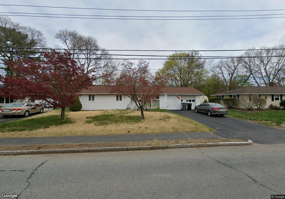
60 Linda Ave Framingham, MA 01701
Nobscot NeighborhoodEstimated Value: $481,000 - $547,000
3
Beds
1
Bath
1,075
Sq Ft
$488/Sq Ft
Est. Value
About This Home
This home is located at 60 Linda Ave, Framingham, MA 01701 and is currently estimated at $524,867, approximately $488 per square foot. 60 Linda Ave is a home located in Middlesex County with nearby schools including Framingham High School and Saint Bridget School.
Ownership History
Date
Name
Owned For
Owner Type
Purchase Details
Closed on
Feb 27, 2004
Sold by
Peterson Matthew L and Peterson Amy E
Bought by
Mkrtchian Grachik and Mkrtchian Jennifer
Current Estimated Value
Home Financials for this Owner
Home Financials are based on the most recent Mortgage that was taken out on this home.
Original Mortgage
$265,500
Outstanding Balance
$123,909
Interest Rate
5.65%
Mortgage Type
Purchase Money Mortgage
Estimated Equity
$400,958
Create a Home Valuation Report for This Property
The Home Valuation Report is an in-depth analysis detailing your home's value as well as a comparison with similar homes in the area
Home Values in the Area
Average Home Value in this Area
Purchase History
| Date | Buyer | Sale Price | Title Company |
|---|---|---|---|
| Mkrtchian Grachik | $295,000 | -- | |
| Mkrtchian Grachik | $295,000 | -- |
Source: Public Records
Mortgage History
| Date | Status | Borrower | Loan Amount |
|---|---|---|---|
| Open | Mkrtchian Grachik | $265,500 | |
| Closed | Mkrtchian Grachik | $265,500 |
Source: Public Records
Tax History Compared to Growth
Tax History
| Year | Tax Paid | Tax Assessment Tax Assessment Total Assessment is a certain percentage of the fair market value that is determined by local assessors to be the total taxable value of land and additions on the property. | Land | Improvement |
|---|---|---|---|---|
| 2025 | $5,669 | $474,800 | $260,200 | $214,600 |
| 2024 | $5,469 | $438,900 | $232,400 | $206,500 |
| 2023 | $5,130 | $391,900 | $207,400 | $184,500 |
| 2022 | $4,821 | $350,900 | $188,200 | $162,700 |
| 2021 | $4,701 | $334,600 | $180,900 | $153,700 |
| 2020 | $4,657 | $310,900 | $164,400 | $146,500 |
| 2019 | $4,603 | $299,300 | $164,400 | $134,900 |
| 2018 | $4,566 | $279,800 | $158,200 | $121,600 |
| 2017 | $4,480 | $268,100 | $153,600 | $114,500 |
| 2016 | $4,378 | $251,900 | $153,600 | $98,300 |
| 2015 | $4,189 | $235,100 | $154,000 | $81,100 |
Source: Public Records
Map
Nearby Homes
- 15 Fairbrook Rd
- 1 Brookvale Rd
- 217 Central St
- 33 Highgate Rd
- 111 Higgins Rd
- 182 Summer St
- 82 Joseph Rd
- 163 Water St
- 52 Lohnes Rd
- 19 Park Ave
- 1376 Concord St
- 30 Elda Rd
- 230 Prospect St
- 11 Longview Rd
- 30 Donlon St
- 14 Francine Rd
- 18 Lomas Dr
- 10 Victoria Garden Unit A
- 71 Nicholas Rd Unit H
- 81 Nicholas Rd Unit B