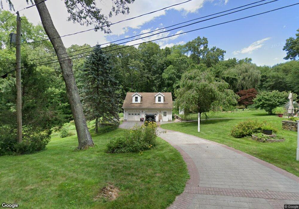
60 Oakland Dr Oakdale, CT 06370
Estimated Value: $330,250 - $412,000
2
Beds
2
Baths
1,208
Sq Ft
$300/Sq Ft
Est. Value
About This Home
This home is located at 60 Oakland Dr, Oakdale, CT 06370 and is currently estimated at $362,813, approximately $300 per square foot. 60 Oakland Dr is a home located in New London County with nearby schools including Leonard J. Tyl Middle School, Montville High School, and St. Thomas More School.
Ownership History
Date
Name
Owned For
Owner Type
Purchase Details
Closed on
Feb 4, 2013
Sold by
Keefe Michelle T
Bought by
Keefe Jeffrey W
Current Estimated Value
Purchase Details
Closed on
Aug 6, 1992
Sold by
Fisher James and Fisher Joseph
Bought by
Keefc Jeffrey
Home Financials for this Owner
Home Financials are based on the most recent Mortgage that was taken out on this home.
Original Mortgage
$105,200
Interest Rate
8.5%
Mortgage Type
Unknown
Create a Home Valuation Report for This Property
The Home Valuation Report is an in-depth analysis detailing your home's value as well as a comparison with similar homes in the area
Home Values in the Area
Average Home Value in this Area
Purchase History
| Date | Buyer | Sale Price | Title Company |
|---|---|---|---|
| Keefe Jeffrey W | -- | -- | |
| Keefe Jeffrey W | -- | -- | |
| Keefc Jeffrey | $110,750 | -- | |
| Keefc Jeffrey | $110,750 | -- |
Source: Public Records
Mortgage History
| Date | Status | Borrower | Loan Amount |
|---|---|---|---|
| Previous Owner | Keefc Jeffrey | $58,317 | |
| Previous Owner | Keefc Jeffrey | $110,500 | |
| Previous Owner | Keefc Jeffrey | $105,200 |
Source: Public Records
Tax History Compared to Growth
Tax History
| Year | Tax Paid | Tax Assessment Tax Assessment Total Assessment is a certain percentage of the fair market value that is determined by local assessors to be the total taxable value of land and additions on the property. | Land | Improvement |
|---|---|---|---|---|
| 2025 | $4,725 | $163,660 | $29,610 | $134,050 |
| 2024 | $4,545 | $163,660 | $29,610 | $134,050 |
| 2023 | $4,545 | $163,660 | $29,610 | $134,050 |
| 2022 | $4,371 | $163,660 | $29,610 | $134,050 |
| 2021 | $4,307 | $135,650 | $35,960 | $99,690 |
| 2020 | $4,392 | $135,650 | $35,960 | $99,690 |
| 2019 | $4,410 | $135,650 | $35,960 | $99,690 |
| 2018 | $4,304 | $135,650 | $35,960 | $99,690 |
| 2017 | $4,300 | $135,650 | $35,960 | $99,690 |
| 2016 | $4,431 | $144,770 | $46,420 | $98,350 |
| 2015 | $4,431 | $144,770 | $46,420 | $98,350 |
| 2014 | $4,252 | $144,770 | $46,420 | $98,350 |
Source: Public Records
Map
Nearby Homes
- 53 Lake Dr
- 33D Laurel Point Dr
- 33A Laurel Point Dr
- 1399 Route 163
- 1578 Old Colchester Rd
- 8 Eddy Ct
- 385 Oxoboxo Dam Rd
- 12 Church Rd
- 15 Forsyth Rd
- 1300 Old Colchester Rd
- 17 Manor Rd
- 211 Forsyth Rd
- 52 Lake View Ave
- 485 Chapel Hill Rd
- 87E Cottage Rd
- 156 Old Colchester Rd
- 94 Massachusetts Rd
- 636 Connecticut 163
- 89 Norwich Salem Turnpike
- 306 Old Colchester Rd Unit 197
- 55 Oakland Dr
- 65 Oakland Dr
- 45 Oakland Dr
- 75 Oakland Dr
- 85 Oakland Dr
- 143 Oxoboxo Cross Rd
- 105 C Lake Dr
- 105C Lake Dr
- 243 Oxoboxo Cross Rd
- 114 Lake Dr
- 219 Oxoboxo Cross Rd
- 247 Oxoboxo Cross Rd
- 111 Lake Dr
- 115 Lake Dr
- 100 Lake Dr
- 123 Lake Dr
- 236 Oxoboxo Cross Rd
- 1432 Route 163
- 176 Lake Dr E
- 216 Oxoboxo Cross Rd