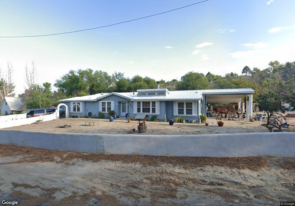
600 Linden Dr Farmington, NM 87401
Estimated Value: $382,132 - $463,000
--
Bed
--
Bath
3,332
Sq Ft
$128/Sq Ft
Est. Value
About This Home
This home is located at 600 Linden Dr, Farmington, NM 87401 and is currently estimated at $425,033, approximately $127 per square foot. 600 Linden Dr is a home located in San Juan County with nearby schools including Apache Elementary School, Tibbetts Middle School, and Farmington High School.
Ownership History
Date
Name
Owned For
Owner Type
Purchase Details
Closed on
Oct 13, 2015
Sold by
Carrell Danny A and Carrell Sherrie S
Bought by
Donahue Sharon B and Donahue Living Trust
Current Estimated Value
Purchase Details
Closed on
Nov 29, 2010
Sold by
Shipler Terry and Shipler Deena L
Bought by
Carrrell Danny A and Carrell Sherrie S
Home Financials for this Owner
Home Financials are based on the most recent Mortgage that was taken out on this home.
Original Mortgage
$193,500
Interest Rate
6.5%
Mortgage Type
Seller Take Back
Create a Home Valuation Report for This Property
The Home Valuation Report is an in-depth analysis detailing your home's value as well as a comparison with similar homes in the area
Home Values in the Area
Average Home Value in this Area
Purchase History
| Date | Buyer | Sale Price | Title Company |
|---|---|---|---|
| Donahue Sharon B | -- | None Available | |
| Carrrell Danny A | -- | None Available | |
| Shipler Terry | $215,000 | None Available |
Source: Public Records
Mortgage History
| Date | Status | Borrower | Loan Amount |
|---|---|---|---|
| Previous Owner | Shipler Terry | $193,500 |
Source: Public Records
Tax History Compared to Growth
Tax History
| Year | Tax Paid | Tax Assessment Tax Assessment Total Assessment is a certain percentage of the fair market value that is determined by local assessors to be the total taxable value of land and additions on the property. | Land | Improvement |
|---|---|---|---|---|
| 2024 | $1,843 | $77,508 | $0 | $0 |
| 2023 | $1,843 | $75,251 | $0 | $0 |
| 2022 | $1,756 | $73,059 | $0 | $0 |
| 2021 | $1,706 | $71,551 | $0 | $0 |
| 2020 | $1,679 | $70,607 | $0 | $0 |
| 2019 | $1,664 | $70,331 | $0 | $0 |
| 2018 | $1,707 | $74,996 | $0 | $0 |
| 2017 | $1,720 | $74,768 | $0 | $0 |
| 2016 | $1,707 | $78,321 | $0 | $0 |
| 2015 | $1,679 | $78,321 | $0 | $0 |
| 2014 | $1,757 | $76,243 | $0 | $0 |
Source: Public Records
Map
Nearby Homes
- 636 Ridge Lea Ct
- 1805 Brenwood Dr
- 1011 N Auburn Ave
- XX Brookside Dr
- 195 McDonald Rd
- 212 W Sunset Place
- 1013 N Orchard Dr
- LOT 4 XX W 24th St
- 2412 Pheasant Place
- 200 W 24th St
- 1108 N Dustin Ave
- 2413 N Municipal Dr
- 212 W 25th St
- 414 W Comanche St
- XX W Apache St
- 511 N Behrend Ave
- 2900 Northwood Dr
- 621 W Apache St
- 602 N Orchard Ave Unit A - F
- 707 W Apache St
- 615 Glade Rd
- 608 Linden Dr
- 1401 Saint James Place
- 628 Glade Rd
- 1324 Saint James Place
- 604 Linden Dr
- 606 Glade Rd
- 1320 Saint James Place
- 801 Glade Rd
- 510 Glade Rd
- 1321 Saint James Place
- 618 Ashurst Dr
- 601 Glade Rd
- 1318 Saint James Place
- 621 Linden Dr
- 602 Ashurst Dr
- 616 Ashurst Dr
- 620 Ashurst Dr
- 800 Glade Rd
- 515 Glade Rd