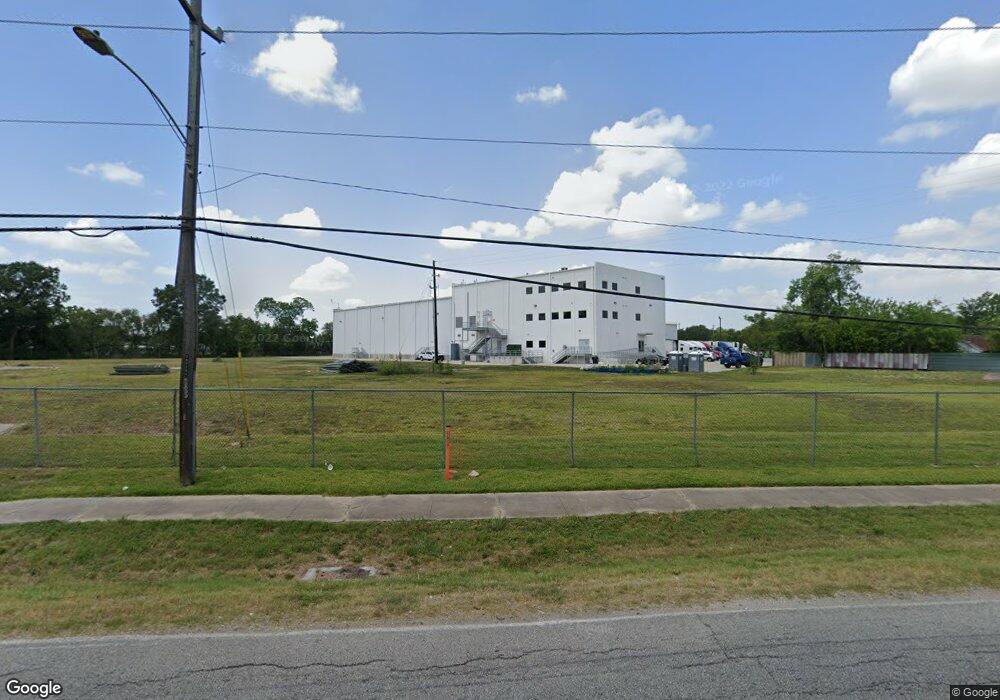
600 Victoria Dr Houston, TX 77022
Independence Heights Neighborhood
--
Bed
--
Bath
--
Sq Ft
9.31
Acres
About This Home
This home is located at 600 Victoria Dr, Houston, TX 77022. 600 Victoria Dr is a home located in Harris County with nearby schools including Kennedy Elementary School, Williams Middle, and Booker T Washington Sr High.
Ownership History
Date
Name
Owned For
Owner Type
Purchase Details
Closed on
Sep 11, 2007
Sold by
Smv Houston Victoria Street Lp
Bought by
Taft B 1 Inc
Home Financials for this Owner
Home Financials are based on the most recent Mortgage that was taken out on this home.
Original Mortgage
$292,500
Outstanding Balance
$186,421
Interest Rate
6.7%
Mortgage Type
Purchase Money Mortgage
Purchase Details
Closed on
Dec 10, 2004
Sold by
Living Centers Of Texas Inc
Bought by
Smv Houston Victoria Street Lp
Create a Home Valuation Report for This Property
The Home Valuation Report is an in-depth analysis detailing your home's value as well as a comparison with similar homes in the area
Home Values in the Area
Average Home Value in this Area
Purchase History
| Date | Buyer | Sale Price | Title Company |
|---|---|---|---|
| Taft B 1 Inc | -- | Alamo Title Company | |
| Smv Houston Victoria Street Lp | -- | Fidelity National Title |
Source: Public Records
Mortgage History
| Date | Status | Borrower | Loan Amount |
|---|---|---|---|
| Open | Taft B 1 Inc | $292,500 |
Source: Public Records
Tax History Compared to Growth
Tax History
| Year | Tax Paid | Tax Assessment Tax Assessment Total Assessment is a certain percentage of the fair market value that is determined by local assessors to be the total taxable value of land and additions on the property. | Land | Improvement |
|---|---|---|---|---|
| 2025 | $179 | $1,469,198 | $1,469,198 | -- |
| 2024 | $179 | $1,469,198 | $1,469,198 | -- |
| 2023 | $179 | $1,469,198 | $1,469,198 | $0 |
| 2022 | $148 | $1,469,198 | $1,469,198 | $0 |
| 2021 | $20,649 | $885,977 | $885,977 | $0 |
| 2020 | $21,455 | $885,977 | $885,977 | $0 |
| 2019 | $14,677 | $580,000 | $580,000 | $0 |
| 2018 | $12,905 | $592,125 | $592,125 | $0 |
| 2017 | $8,255 | $326,480 | $326,480 | $0 |
| 2016 | $8,255 | $326,480 | $326,480 | $0 |
| 2015 | $8,719 | $326,480 | $326,480 | $0 |
| 2014 | $8,719 | $326,480 | $326,480 | $0 |
Source: Public Records
Map
Nearby Homes
- 4440 Castor St
- 510 Victoria Dr
- 600 E Whitney St
- 4311 Busiek St
- 4305 Castor St
- 4309 Delhi St
- 4303 Castor Na St
- 4303 Cadmus St
- 4303 Castor St
- 312 Walthall Dr
- 4311 Europa St
- 315 E Whitney St
- 502 W Crosstimbers St
- 4302 Delhi St
- 310 Walthall Dr
- 821 Barkley St
- 4402 Airline Dr
- 4220 Delhi St
- 4208 Castor St Unit B
- 4208 Castor St Unit A
- 715 Apogee Trail
- 713 Apogee Trail
- 719 E Whitney St
- 711 Apogee Trail
- 709 Apogee Trail
- 707 Apogee Trail
- 715 E Whitney St
- 4514 Whitney Park Way
- 705 Apogee Trail
- 703 Apogee Trail
- 4512 Whitney Park Way
- 4510 Whitney Park Way
- 4515 Whitney Pkwy
- 4515 Whitney Park Way
- 4508 Whitney Park Way
- 4513 Whitney Park Way
- 711 E Whitney St
- 4506 Whitney Park Way
- 4511 Whitney Park Way
- 4504 Whitney Park Way